We use cookies for your personalized browsing experience, to personalize content and ads, to provide social media features, and to analyze traffic to our website. We also share information about your use of our website with our social media, advertising and analytics partners. Our partners may combine this information with other data that you have provided to them or that they have collected as part of your use of the Services. (incl. US providers)

Start Point

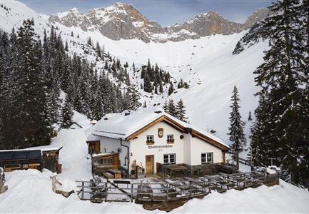
Leutasch Wettersteinhütte

End Point

Leutasch information office

Difficulty

Medium

Total Distance

9,50 km

Descent Meters

25 m

Highest Point

1717 m

Total Time

03:30 h

Status

Open

Map & Elevation Profile

Start Point

Leutasch Wettersteinhütte

End Point

Leutasch information office

Difficulty

Medium

Total Distance

9,50 km

Descent Meters

25 m

Highest Point

1717 m

Total Time

03:30 h

Status

Open

Hiking

Best Time

Open

Jan

Feb

Mar

Apr

May

Jun

Jul

Aug

Sep

Oct

Nov

Dec

Winter walking

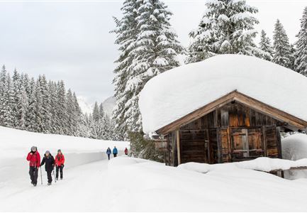
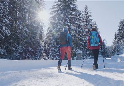
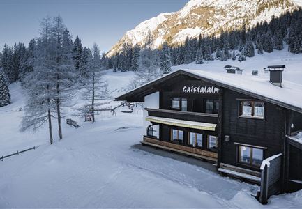
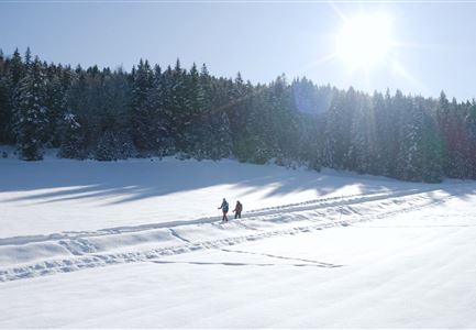
As soon as the first rays of sunshine peek through the windows of the Wettersteinhütte, the fourth and final section of the winter long-distance hike begins after a hearty hut breakfast. Follow trail number 9 downhill the same way towards Leutasch-Klamm. After about four kilometers of descent, take a left after the barrier, then at the next intersection, keep right. 500 meters later, just before the fence, make a sharp left turn. Once on the road, turn left again at Haus Bergsonne and continue on the Oberer Wiesenweg towards Kirchplatzl.

Pass by the kindergarten, then go right past Kühtaierhof, where you can take a break for a snack. From here, continue straight across the intersection to the main road. Cross the road and follow the hiking trail diagonally opposite. After the narrow pedestrian bridge, cross the ski trail and continue straight up the forest path towards Weidachsee. At the end of the hiking trail, follow the road straight ahead to the left. Once you reach the main road, turn left, pass by the elementary school, and just before the bridge, turn left again onto the hiking path.

Follow the trail straight for about 15

Read More...

Features & Characteristics

Start Point

Leutasch Wettersteinhütte

End Point

Leutasch information office

Similar Tour Suggestions

Katzenkopfhütte Winter

Hiking

Stage 1: Extension to Katzenkopf (2.9 km) – Tyrol’s 1. Winter Multi-day Hike

Length

2,90 km

Duration

01:15 h

Uphill

245 hm

Altitude

1360 hm

Difficulty

Medium

Open
Winterwandern im Möserer Tal

Hiking

W8: Winter Hike to the Seewaldalm

Length

6,23 km

Duration

02:00 h

Uphill

51 hm

Altitude

1236 hm

Difficulty

Easy

Open
Leutasch - Winterwanderweg 18 Muggenmoos

Hiking

W18: Winter hike Schlagweg - Rauthgatter - Wildmoos

Length

11,60 km

Duration

03:25 h

Uphill

223 hm

Altitude

1345 hm

Difficulty

Easy

Open
Winterwandern Paar Oberer Wiesenweg Mann zeigt auf etwas Hohe Munde im Neben im Hintergrund (1).jpg

Hiking

W17: Winter circular hike on the Wiesenweg

Length

6,20 km

Duration

01:45 h

Uphill

61 hm

Altitude

1193 hm

Difficulty

Easy

Open
Weitwandern Etappe 1 Teilnehmer bei Bach (1).jpg

Hiking

Stage 1: From Schanz to Weidach – Tyrol’s 1. Winter Multi-day Hike

Length

14,20 km

Duration

03:30 h

Uphill

140 hm

Downhill

58 hm

Altitude

1162 hm

Difficulty

Medium

Open
Winterwandern-am-Wildmoos-Plateau-(1)_WaLogo.jpg

Hiking

W1: Winter Circular Hike Seefeld-Mösern-Wildmoos

Length

13,00 km

Duration

03:30 h

Uphill

247 hm

Altitude

1333 hm

Difficulty

Medium

Open
Ropferstubm in Buchen bei Mösern - Ausblick

Hiking

W26: Winter Hike from Mösern to the Ropferstub'm

Length

12,20 km

Duration

04:00 h

Uphill

330 hm

Altitude

1314 hm

Difficulty

Easy

Open
Triendlsäge im Winter - Gebäude mit Pferdekutsche.jpg

Hiking

W4: Winter Circular Hike Seefeld - Triendlsäge

Length

7,50 km

Duration

02:15 h

Uphill

147 hm

Altitude

1198 hm

Difficulty

Easy

Open