Start Point

Seefeld Seekirchl

End Point

Seefeld Seekirchl

Difficulty

Easy

Total Distance

3,00 km

Descent Meters

50 m

Ascent Meters

50 m

Highest Point

1202 m

Total Time

00:45 h

Map & Elevation Profile

Start Point

Seefeld Seekirchl

End Point

Seefeld Seekirchl

Difficulty

Easy

Total Distance

3,00 km

Descent Meters

50 m

Ascent Meters

50 m

Highest Point

1202 m

Total Time

00:45 h

Running

Best Time

Jan

Feb

Mar

Apr

May

Jun

Jul

Aug

Sep

Oct

Nov

Dec

Nordic walking

Running tracks

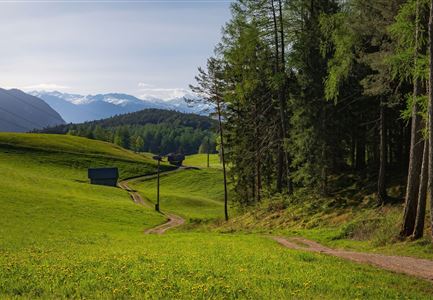
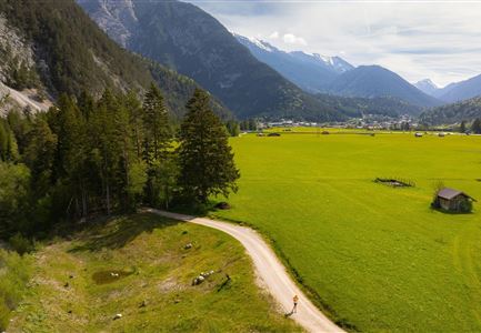
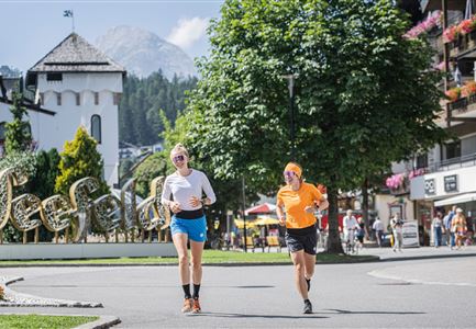
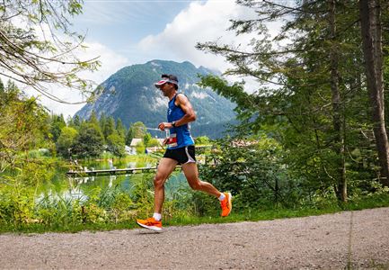
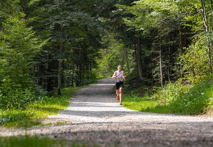
This easy running loop through Möserer Tal winds its way through blooming meadows without any significant inclines, passing by the Seefeld Sports Arena.

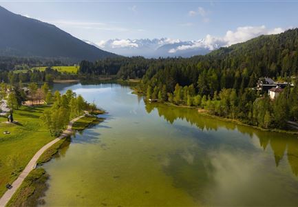
The route begins at Seefeld’s landmark, the Seekirchl, and heads toward Gschwandtkopf until you reach the Sportalm. It then continues past the Seefeld Sports Arena and the Toni Seelos ski jumps.

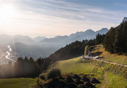
If you wish, you can make a short detour to the viewing platform at WSC-Tower, where a high-quality Swarovski telescope offers impressive close-up views of the surrounding mountains.

Finally, the path leads from the Seefeld Sports Arena through Seewald and Kirchwald, passing by the tennis hall on its way back to the starting point.

The indicated running time is a guideline and depends on personal fitness.

Features & Characteristics

Similar Tour Suggestions

Scharnitz - Wanderung Dorfrunde - Weg von Gießenbach nach Scharnitz mit Läufer.jpg

Running

Village Running Loop Scharnitz

Length

8,30 km

Duration

02:00 h

Uphill

42 hm

Altitude

1010 hm

Difficulty

Easy

Trailrunning in der Region Seefeld - Läuferinnen in Seefeld - Fußgängerzone.jpg

Running

Village Running Loop Seefeld

Length

4,90 km

Duration

01:00 h

Uphill

22 hm

Altitude

1207 hm

Difficulty

Easy

Wanderung zur Scharnitzer Alm - Isar mit Blumen im Vordergrund - Hochformat.jpg

Running

Isar Running Route

Length

8,60 km

Duration

02:00 h

Uphill

30 hm

Altitude

970 hm

Difficulty

Easy

Wildsee im Frühling bei Morgenstimmung - Drohnenaufnahme Seepromenade.jpg

Running

Auland Running Route

Length

8,90 km

Duration

02:30 h

Uphill

128 hm

Altitude

1200 hm

Difficulty

Medium

Drohnenfoto von der Friedensglocke im Bau.jpg

Running

Village Running Loop Mösern

Length

4,40 km

Duration

01:00 h

Uphill

92 hm

Altitude

1289 hm

Difficulty

Easy

Ganghofertrail 2024 - einzelner Läufer bei Weidachsee mit Blick auf Arnspitzen.jpg

Running

Weidachsee Running Route

Length

3,70 km

Duration

00:50 h

Uphill

63 hm

Downhill

64 hm

Altitude

1156 hm

Difficulty

Easy

Trailrunning in der Region Seefeld - Abkühlung an der Leutascher Ache - Gaistal.jpg

Running

Village Running Loop Leutasch

Length

6,20 km

Duration

01:45 h

Uphill

73 hm

Altitude

1195 hm

Difficulty

Easy

Reith Wiesenweg im Frühling - Weg entlang grüner Wiesen.jpg

Running

Village Running Loop Reith

Length

4,60 km

Duration

01:30 h

Uphill

105 hm

Altitude

1128 hm

Difficulty

Easy