We use cookies for your personalized browsing experience, to personalize content and ads, to provide social media features, and to analyze traffic to our website. We also share information about your use of our website with our social media, advertising and analytics partners. Our partners may combine this information with other data that you have provided to them or that they have collected as part of your use of the Services. (incl. US providers)

Start Point

Seefeld Seekirchl

End Point

Seefeld Seekirchl

Difficulty

Medium

Total Distance

13,00 km

Descent Meters

247 m

Highest Point

1333 m

Total Time

03:30 h

Status

Open

Map & Elevation Profile

Start Point

Seefeld Seekirchl

End Point

Seefeld Seekirchl

Difficulty

Medium

Total Distance

13,00 km

Descent Meters

247 m

Highest Point

1333 m

Total Time

03:30 h

Status

Open

Hiking

Best Time

Open

Jan

Feb

Mar

Apr

May

Jun

Jul

Aug

Sep

Oct

Nov

Dec

Winter walking

Loop tour

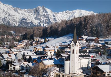
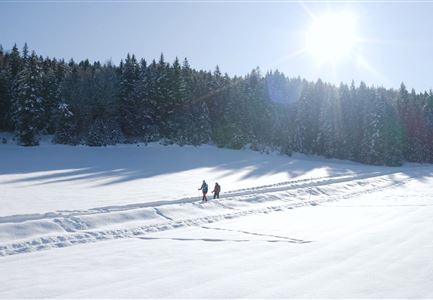
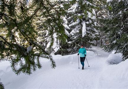
Picturesque lakes, rustic huts, and truly stunning views: On this 13-kilometer route, you’ll discover some of the most beautiful hiking highlights in the Seefeld region. The trail is even certified with the Austrian Hiking Seal of Quality by Austria's Hiking Villages.

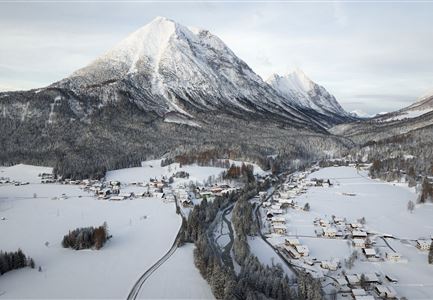
The starting point of the hike is right at the picturesque Seekirchl in Seefeld, which is easily accessible from the train station and nearby parking lots. After a short walk along the main road and past the WM-Hall, hiking trail No. 2 begins, heading towards Mösern. Passing the wide meadows of the Möserer Mähder, the path leads to the romantic Möserer See. It’s worth circling the lake and stopping by the cozy Möserer Seestub’n restaurant.

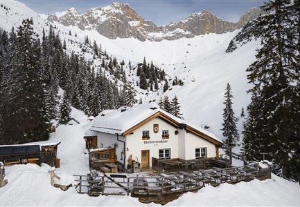
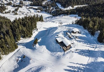
Next, the trail continues along the Broch-Weg to the largest free-standing bell in the Alps. Weighing over 10 tons, the Peace Bell is one of the absolute must-sees in the region, accompanied by a magnificent view over the Inn Valley. From here, the trail follows the Pirschsteig (No. 2) to the aperiodic Lottensee, with the inviting Lottenseehütte.

Enjoy hiking across

Read More...

Similar Tour Suggestions

Drohnenaufnahme Reith im Winter - Ortszentrum mit Kirche und Reither Spitze im Hintergrund.jpg

Hiking

W33: Winter circular hike Hölltal

Length

5,00 km

Duration

02:00 h

Uphill

192 hm

Downhill

186 hm

Altitude

1303 hm

Difficulty

Medium

Open
Winterwandern Paar Seefeld Möserer Tal Mann zeigt auf Seekirchel.jpg

Hiking

Stage 1: From Seefeld via Reith to Leithen - Seefeld High Plateau Winter Multi-day Hike

Length

12,80 km

Duration

05:00 h

Uphill

266 hm

Downhill

267 hm

Difficulty

Easy

Open
Drohnenaufnahme Reith im Winter - Kirche reingezoomt mit Wettersteingebirge im Hintergrund.jpg

Hiking

W34: Winter circular hike "culture path" Reith

Length

4,50 km

Duration

01:30 h

Uphill

116 hm

Downhill

117 hm

Altitude

1128 hm

Difficulty

Easy

Open
Leutasch - Winterwanderweg 15 Katzenloch-3.jpg

Hiking

Stage 2: From Seefeld to Scharnitz - Seefeld High Plateau Winter Multi-day Hike

Length

12,37 km

Duration

03:30 h

Uphill

59 hm

Downhill

278 hm

Altitude

1182 hm

Difficulty

Easy

Open
Funkelnd verschneite Felder vor Scharnitz.jpg

Hiking

W22: Winter Hike from Scharnitz to Gießenbach

Length

6,70 km

Duration

01:50 h

Uphill

40 hm

Downhill

41 hm

Altitude

1009 hm

Difficulty

Easy

Open
Winterlicher Blick vom Wildsee Richtung Hohe Munde.jpg

Hiking

W7: Winter circular hike Reith - Seefeld - Reith

Length

8,70 km

Duration

02:30 h

Uphill

118 hm

Downhill

121 hm

Altitude

1200 hm

Difficulty

Easy

Open
Weitwandern Etappe 3 Winterlandschaft (1).jpg

Hiking

W28: Winter Circular Hike Mösern-Wildmoosalm-Lottenseehütte

Length

11,00 km

Duration

03:15 h

Uphill

221 hm

Downhill

222 hm

Altitude

1366 hm

Difficulty

Easy

Open
Luftaufnahme Wildsee im Winter - Seefeld.jpg

Hiking

W5: Winter Circuite around the Wildsee lake

Length

4,70 km

Duration

01:15 h

Uphill

22 hm

Altitude

1181 hm

Difficulty

Easy

Open