We use cookies for your personalized browsing experience, to personalize content and ads, to provide social media features, and to analyze traffic to our website. We also share information about your use of our website with our social media, advertising and analytics partners. Our partners may combine this information with other data that you have provided to them or that they have collected as part of your use of the Services. (incl. US providers)

Start Point

Wildmoosalm

End Point

Wildmoosalm

Difficulty

Easy

Total Distance

16,20 km

Descent Meters

368 m

Ascent Meters

361 m

Highest Point

1335 m

Total Time

05:00 h

Status

Open

Map & Elevation Profile

Start Point

Wildmoosalm

End Point

Wildmoosalm

Difficulty

Easy

Total Distance

16,20 km

Descent Meters

368 m

Ascent Meters

361 m

Highest Point

1335 m

Total Time

05:00 h

Status

Open

Hiking

Best Time

Open

Jan

Feb

Mar

Apr

May

Jun

Jul

Aug

Sep

Oct

Nov

Dec

Winter walking

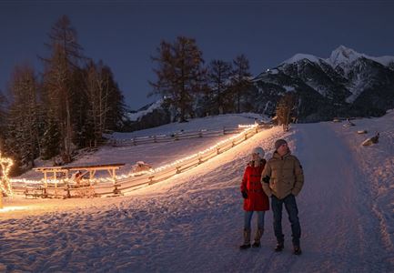
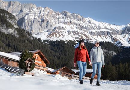
The starting point of the hike on the Wildmoos Plateau can be reached from Seefeld in various ways: on foot, by a romantic horse-drawn carriage ride, or conveniently by the Wildmoosbus.

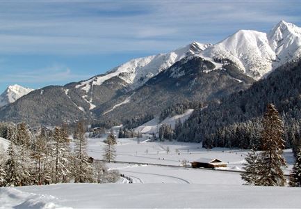
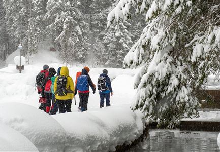
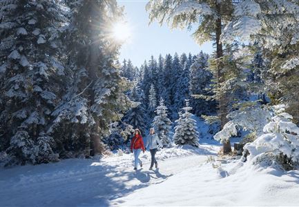
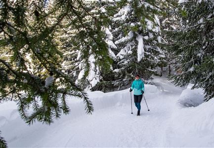
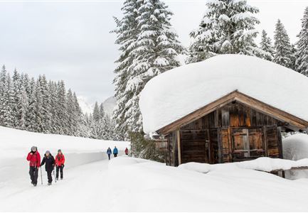
The hike begins at the idyllic Wildmoosalm, heading north along snowy forest paths and pleasantly descending through the picturesque Fludertal valley. At the valley exit, you meet the main road, which you follow to the right. The path gently ascends through Neuleutasch, and shortly after leaving the village, the hiking trail branches off to the left, leading to the Gasthof Triendlsäge.

At this cozy inn, which is located in a former sawmill, you can take a well-deserved break and enjoy homemade specialties. The freshly caught trout from their own farm is particularly recommended.

After a refreshing stop, the hike continues comfortably to Seefeld. For the return journey, there are several options: You can hike back along the same route, take the Wildmoosbus from the 'Seefeld Bahnhof' stop, or enjoy a romantic carriage ride back to the starting point.

Features & Characteristics

Similar Tour Suggestions

Triendlsäge im Winter - Gebäude mit Pferdekutsche.jpg

Hiking

W4: Winter Circular Hike Seefeld - Triendlsäge

Length

7,50 km

Duration

02:15 h

Uphill

147 hm

Altitude

1198 hm

Difficulty

Easy

Open
Winterwandern-am-Wildmoos-Plateau-(1)_WaLogo.jpg

Hiking

W1: Winter Circular Hike Seefeld-Mösern-Wildmoos

Length

13,00 km

Duration

03:30 h

Uphill

247 hm

Altitude

1333 hm

Difficulty

Medium

Open
Winterspatziergang mit Kindern - Katzenkopf Leutasch.jpg

Hiking

W20: Winter hike to the Katzenkopfhütte

Length

5,10 km

Duration

02:15 h

Uphill

231 hm

Altitude

1353 hm

Difficulty

Easy

Open
Winterwandern Paar Möserer See Paar steht auf Steg Seitenperspektive.jpg

Hiking

W27: Winter circular hike Möserer See

Length

3,50 km

Duration

01:15 h

Uphill

96 hm

Downhill

100 hm

Altitude

1297 hm

Difficulty

Easy

Open
Winterwandern im Wildmoos_Wanderinnen laufen durch Wald bei viel Schnee.jpg

Hiking

W18: Winter hike Schlagweg - Rauthgatter - Wildmoos

Length

11,60 km

Duration

03:25 h

Uphill

223 hm

Altitude

1345 hm

Difficulty

Medium

Open
Weitwandern Etappe 1 Teilnehmer bei Bach (1).jpg

Hiking

Stage 1: From Schanz to Weidach – Tyrol’s 1. Winter Multi-day Hike

Length

14,20 km

Duration

03:30 h

Uphill

140 hm

Downhill

58 hm

Altitude

1162 hm

Difficulty

Medium

Open
Weidachsee im Winter

Hiking

W9: Winter circular hike around Weidachsee lake

Length

3,80 km

Duration

01:00 h

Uphill

46 hm

Altitude

1156 hm

Difficulty

Easy

Open
Luftaufnahme Wildsee im Winter - Seefeld.jpg

Hiking

W5: Winter Circuite around the Wildsee lake

Length

4,70 km

Duration

01:15 h

Uphill

22 hm

Altitude

1181 hm

Difficulty

Easy

Open