Start Point

Parking Rödlach in Moos (P11)

End Point

Parking Rödlach in Moos (P11)

Difficulty

Easy

Total Distance

7,10 km

Descent Meters

142 m

Highest Point

1280 m

Total Time

02:30 h

Status

Open

Map & Elevation Profile

Start Point

Parking Rödlach in Moos (P11)

End Point

Parking Rödlach in Moos (P11)

Difficulty

Easy

Total Distance

7,10 km

Descent Meters

142 m

Highest Point

1280 m

Total Time

02:30 h

Status

Open

Hiking

Best Time

Open

Jan

Feb

Mar

Apr

May

Jun

Jul

Aug

Sep

Oct

Nov

Dec

Winter walking

Family-friendly

+1

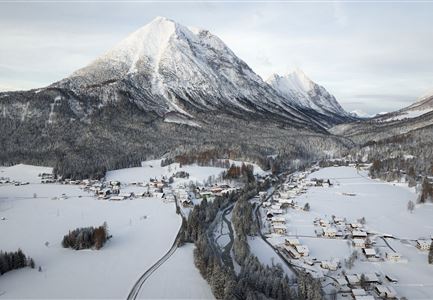
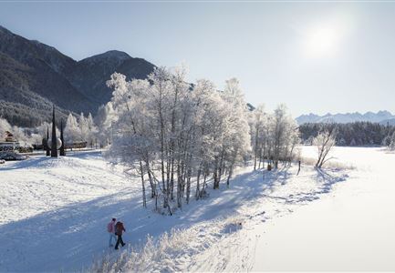
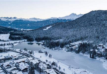
Over snowy forests and picturesque meadows, this circular winter hike leads you through the idyllic winter landscape of the Leutasch Valley. Discover the Tyrolean Mountain Farming Museum and enjoy a rustic stop before exploring more of the stunning nature.

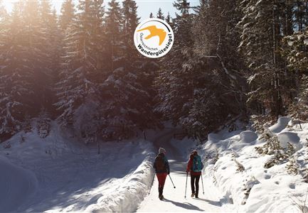
The scenic hike starts directly from the Rödlach parking lot near the Leutasch Zottlhof. Right next to the parking area, you'll find the signposted hiking trail through Katzenloch. After a brief stretch across fields, you’ll enter the sparkling winter forest, a special corner of nature that ends in the Mösern district of Buchen. There, take the turn toward the Tyrolean Mountain Farming Museum.

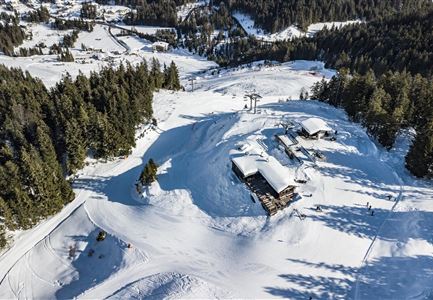
At the museum, the cozy Landgasthof Ropferstub'm invites you in with rustic treats and a charming traditional lounge for a short break. After an optional refreshment, head left from the Ropferstub'm and follow the Schlagweg along the forest edge to the next trail junction near the Interalpen-Hotel Tyrol. Cross the road and follow the hiking signs to Muggenmoos. After passing through romantic paths in the dense forest, you’ll reach a wide clearing where a detour to the cozy Muggenmoos Alm is possible.

Read More...

Features & Characteristics

Start Point

Parking Rödlach in Moos (P11)

End Point

Parking Rödlach in Moos (P11)

Family-friendly

Yes

Loop tour

Yes

Similar Tour Suggestions

Drohnenbild Gschwandtkopf und Schanze bei Sonneaufgang.jpg

Hiking

W2: Winter Circular Hike around the mountain Gschwandtkopf

Length

10,50 km

Duration

03:30 h

Uphill

226 hm

Downhill

222 hm

Altitude

1342 hm

Difficulty

Medium

Open
drohnenaufnahme_neuschnee_27.11._leutasch_blick_richtung_hohe_munde_1.jpg

Hiking

W10: Winter hike through the Leutasch Valley

Length

26,40 km

Duration

07:00 h

Uphill

173 hm

Downhill

177 hm

Altitude

1179 hm

Difficulty

Easy

Open
100000 Lichter-Weg Seefeld_Paar steht auf Pfarrhügel_Reither Spitze in der Distanz.jpg

Hiking

100.000 Lights Path

Length

1,70 km

Duration

00:30 h

Uphill

30 hm

Downhill

39 hm

Altitude

1206 hm

Difficulty

Easy

Closed
Winterwandern in der Region Seefeld_Drohnenaufnahme_Mann und Frau laufen entlang des Ufers des Wildsees (1).jpg

Hiking

W7: Winter circular hike Reith - Seefeld - Reith

Length

8,70 km

Duration

02:30 h

Uphill

118 hm

Downhill

121 hm

Altitude

1200 hm

Difficulty

Easy

Open
Luftaufnahme Wildsee im Winter - Seefeld.jpg

Hiking

W5: Winter Circular Hike Wildsee, Pfarrhügel & Seekirchl

Length

4,70 km

Duration

01:15 h

Uphill

22 hm

Altitude

1181 hm

Difficulty

Easy

Open
Winterwandern-am-Wildmoos-Plateau-(1)_WaLogo.jpg

Hiking

W1: Winter Circular Hike Seefeld-Mösern-Wildmoos

Length

13,00 km

Duration

03:30 h

Uphill

247 hm

Altitude

1333 hm

Difficulty

Medium

Open
Katzenkopfhütte Winter

Hiking

Stage 1: Extension to Katzenkopf (2.9 km) – Tyrol’s 1. Winter Multi-day Hike

Length

2,90 km

Duration

01:15 h

Uphill

245 hm

Altitude

1360 hm

Difficulty

Medium

Open
Hofladenrunde im Winter_zwei Frauen bei Thoamlhof laufen zum Hofladen.jpg

Hiking

Winter Circular Hike Leutasch Farm Shop

Length

11,10 km

Duration

03:10 h

Uphill

111 hm

Downhill

108 hm

Altitude

1194 hm

Difficulty

Easy

Open