Start Point

Rückenwind Seefeld

End Point

Rückenwind Seefeld

Difficulty

Hard

Total Distance

11,10 km

Descent Meters

330 m

Ascent Meters

330 m

Highest Point

1499 m

Map & Elevation Profile

Start Point

Rückenwind Seefeld

End Point

Rückenwind Seefeld

Difficulty

Hard

Total Distance

11,10 km

Descent Meters

330 m

Ascent Meters

330 m

Highest Point

1499 m

Running

Best Time

Jan

Feb

Mar

Apr

May

Jun

Jul

Aug

Sep

Oct

Nov

Dec

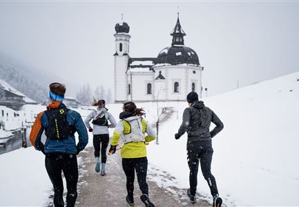
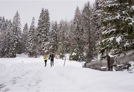
Winter-trailrunning

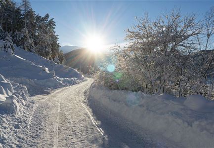
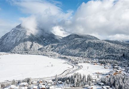
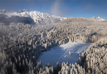
Route: Rückenwind Seefeld - Möserer See - Brunschkopf viewing platform - Wildmoosalm - Rückenwind Seefeld

Directions:

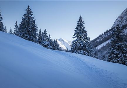
From the Rückenwind in Seefeld, turn right at the Seekirchl onto Leutascher Straße. After a few metres, the trail branches off uphill in front of the tennis halls. At the end of the tennis halls, take the trail to the left. Follow this trail until you reach the first houses and walk along the Möserer Seeweg towards Möserer See. Stay on the wide winter trail and after a total of 4.5 to 4.7 km, turn right uphill. After about 5 km, keep left and follow the hairpin bends uphill until you reach the start of the narrow trail. This trail is not groomed and controlled; it is only created when the first snowshoe hikers have set off. The first few metres are very steep and you reach the viewing platform on the Brunschkopf. From there, follow the path downhill (not signposted) until you reach the winter hiking trail again. Turn left there and before the Wildmoosalm, turn right back towards Seefeld.

Note:

Sections of this route are not groomed and uncontrolled as they run outside the winter hiking trails.

Features & Characteristics

Start Point

Rückenwind Seefeld

End Point

Rückenwind Seefeld

Similar Tour Suggestions

Wanderweg Reith-Seefeld im Winter.jpg

Running

Wintertrail - Seefeld to Reith through the Hölltal

Length

12,70 km

Uphill

280 hm

Altitude

1303 hm

Difficulty

Medium

06.12.2021 - Neuschnee in Leutasch-Weidach mit Blick Richtung Ahrnspitzen.jpg

Running

Wintertrail - Leutascher Ache (Ahrn)

Length

4,60 km

Uphill

30 hm

Altitude

1125 hm

Difficulty

Easy

Gaistal Winter Naturaufnahme Winterwanderweg mit beschneiden Bäumen.jpg

Running

Wintertrail - Leutasch hut round

Length

24,70 km

Uphill

644 hm

Altitude

1410 hm

Difficulty

Hard

Drohnenaufnahme Wildmoos im Nebel - Lottensee mit Blick aufs Wettersteingebirge.jpg

Running

Wintertrail - Three lakes tour from Seefeld over Buchen

Length

27,80 km

Uphill

657 hm

Altitude

1392 hm

Difficulty

Medium

Wintertrailrunning in der Region Seefeld - Läufer vor dem Seekirchl.jpg

Running

Wintertrail - around the Gschwandtkopf

Length

10,50 km

Uphill

253 hm

Altitude

1340 hm

Difficulty

Easy

Wintertrailrunning in der Region Seefeld - Zwei Läufer in traumhafter Winterlandschaft.jpg

Running

Wintertrail - Seefeld to Katzenkopf hut

Length

16,70 km

Uphill

360 hm

Altitude

1371 hm

Difficulty

Hard

Wettersteinhütte - Schitour, Winterwandern und Rod

Running

Wintertrail - Leutasch Wettersteinhütte

Length

19,00 km

Uphill

633 hm

Altitude

1717 hm

Difficulty

Hard

Katzenkopfhütte im Winter (1).jpg

Running

Wintertrail - Leutasch Katzenkopf

Length

10,60 km

Uphill

280 hm

Altitude

1370 hm

Difficulty

Medium