We use cookies for your personalized browsing experience, to personalize content and ads, to provide social media features, and to analyze traffic to our website. We also share information about your use of our website with our social media, advertising and analytics partners. Our partners may combine this information with other data that you have provided to them or that they have collected as part of your use of the Services. (incl. US providers)

Start Point

Rückenwind Seefeld

End Point

Rückenwind Seefeld

Difficulty

Medium

Total Distance

27,80 km

Descent Meters

657 m

Ascent Meters

657 m

Highest Point

1392 m

Map & Elevation Profile

Start Point

Rückenwind Seefeld

End Point

Rückenwind Seefeld

Difficulty

Medium

Total Distance

27,80 km

Descent Meters

657 m

Ascent Meters

657 m

Highest Point

1392 m

Running

Best Time

Jan

Feb

Mar

Apr

May

Jun

Jul

Aug

Sep

Oct

Nov

Dec

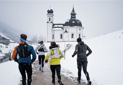
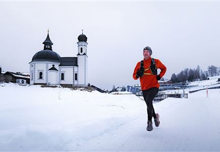
Winter-trailrunning

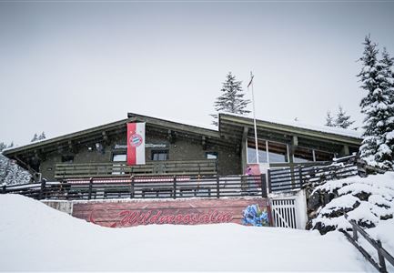
Route: Rückenwind Seefeld - Seefeld village square - Triendlsäge - Fludertal - Wildmoos - Interalpen Hotel - Mundelkapelle - Katzenloch - Buchen - Lottensee - Möserer See - Wildmoosalm - Rückenwind Seefeld

Directions:

From the Rückenwind starting point in Seefeld, the route leads through the pedestrian zone to the village square, where you pass the Tiroler Weinstube on the left. After the roundabout, turn left and then slightly right out of the village. Follow the Mühlwald trail to the Triendlsäge forest inn. From the lowest point of the trail, the route takes a leisurely ascent towards Leutascher Straße. Cross this road and turn right to continue alongside it. After a sharp left-hand bend, you reach the crossroads into Fludertal, which leads left towards Wildmoosalm. Follow the path straight ahead at the Wildmoosalm and pass the Wildmoossee lake on the right-hand side. Near the Interalpen Hotel, turn right and walk downhill to the Mundelkappelle chapel. Turn sharp left past the chapel and walk slightly uphill through the so-called Katzenloch to Buchen. After crossing the road, walk slightly uphill towards Lottensee. Walk straight on past the Lottensee lake and you will soon reach the

Read More...

Similar Tour Suggestions

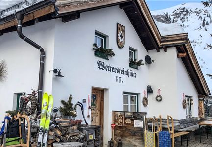
Wettersteinhütte - Schitour, Winterwandern und Rod

Running

Wintertrail - Leutasch Wettersteinhütte

Length

19,00 km

Uphill

633 hm

Altitude

1717 hm

Difficulty

Hard

Wildseepromenade Winter - Seefeld (1).jpg

Running

Wintertrail - Seefeld Reitherjochalm

Length

14,80 km

Uphill

373 hm

Altitude

1502 hm

Difficulty

Easy

Wanderweg Reith-Seefeld im Winter.jpg

Running

Wintertrail - Seefeld to Reith through the Hölltal

Length

12,70 km

Uphill

280 hm

Altitude

1303 hm

Difficulty

Medium

Wintertrailrunning in der Region Seefeld - Zwei Läufer in traumhafter Winterlandschaft.jpg

Running

Wintertrail - Seefeld to Katzenkopf hut

Length

16,70 km

Uphill

360 hm

Altitude

1371 hm

Difficulty

Hard

Wintertrailrunning in der Region Seefeld - Läufer vor dem Seekirchl.jpg

Running

Wintertrail - around the Gschwandtkopf

Length

10,50 km

Uphill

253 hm

Altitude

1340 hm

Difficulty

Easy

Wintertrailrunning in der Region Seefeld - Wildmoosalm.jpg

Running

Wintertrail - Seefeld through the Fludertal to the Wildmoosalm

Length

11,80 km

Uphill

260 hm

Altitude

1340 hm

Difficulty

Easy

Katzenkopfhütte im Winter (1).jpg

Running

Wintertrail - Leutasch Katzenkopf

Length

10,60 km

Uphill

280 hm

Altitude

1370 hm

Difficulty

Medium

Schneespaziergang Leutasch-2.jpg

Running

Wintertrail - Leutascher Ache (Kirchplatzl)

Length

3,10 km

Uphill

20 hm

Altitude

1147 hm

Difficulty

Easy