Start Point

Rückenwind Seefeld

End Point

Rückenwind Seefeld

Difficulty

Medium

Total Distance

12,70 km

Descent Meters

280 m

Ascent Meters

280 m

Highest Point

1303 m

Map & Elevation Profile

Start Point

Rückenwind Seefeld

End Point

Rückenwind Seefeld

Difficulty

Medium

Total Distance

12,70 km

Descent Meters

280 m

Ascent Meters

280 m

Highest Point

1303 m

Running

Best Time

Jan

Feb

Mar

Apr

May

Jun

Jul

Aug

Sep

Oct

Nov

Dec

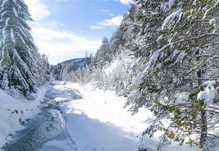
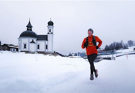
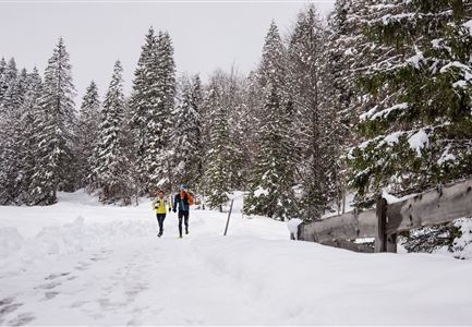
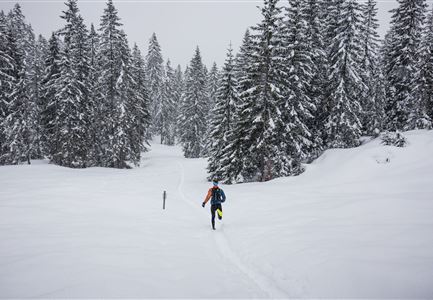
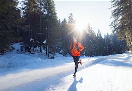
Winter-trailrunning

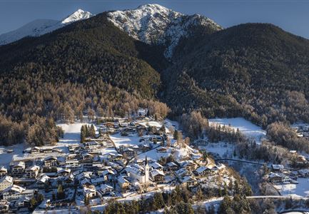
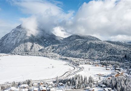
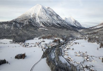
Route: Rückenwind Seefeld- Reither Driving Range - Römerweg - Auland - Reith - Hölltal - Rückenwind Seefeld

Directions:

Start at Rückenwind Seefeld through the village square towards Reith. Right after starting, cross the railway tracks and pass by the Reither Driving Range. After about 1 KM, turn right onto Römerweg and cross the federal road a few minutes later to enter the forest on the right. Above the village of Auland, the trail goes left up to the highest point of the route. Descending, a turn is reached that directs back towards Reith/Seefeld. At the exit of Reith, pass under the underpass and follow the trail below Seefelder Straße back to Seefeld.

Features & Characteristics

Start Point

Rückenwind Seefeld

End Point

Rückenwind Seefeld

Similar Tour Suggestions

Schneespaziergang Leutasch-2.jpg

Running

Wintertrail - Leutascher Ache (Kirchplatzl)

Length

3,10 km

Uphill

20 hm

Altitude

1147 hm

Difficulty

Easy

Winter-Trailrunning in der Region Seefeld_Trailrunner läuft auf Weg beim Seekirchl.jpg

Running

Winter Village Running Loop Seefeld

Length

4,90 km

Duration

01:00 h

Uphill

22 hm

Altitude

1207 hm

Difficulty

Easy

Wintertrailrunning in der Region Seefeld - Zwei Läufer in traumhafter Winterlandschaft.jpg

Running

Wintertrail - Seefeld to Katzenkopf hut

Length

16,70 km

Uphill

360 hm

Altitude

1371 hm

Difficulty

Hard

Drohnenaufnahme Reith im Winter - Ortszentrum mit Kirche und Reither Spitze im Hintergrund.jpg

Running

Winter Village Running Loop Reith

Length

4,60 km

Duration

01:30 h

Uphill

105 hm

Altitude

1128 hm

Difficulty

Easy

06.12.2021 - Neuschnee in Leutasch-Weidach mit Blick Richtung Ahrnspitzen.jpg

Running

Wintertrail - Leutascher Ache (Ahrn)

Length

4,60 km

Uphill

30 hm

Altitude

1125 hm

Difficulty

Easy

Wintertrailrunning in der Region Seefeld (abseits der Wege) - Läufer läuft alleine in den Wald in traumhafter Winterlandschaft.jpg

Running

Winterexpedition - brunschkopf viewing platform

Length

11,10 km

Uphill

330 hm

Altitude

1499 hm

Difficulty

Hard

drohnenaufnahme_neuschnee_27.11._leutasch_blick_richtung_hohe_munde_1.jpg

Running

Winter Village Running Loop Leutasch

Length

6,20 km

Duration

01:45 h

Uphill

73 hm

Altitude

1195 hm

Difficulty

Easy

Winter-Trailrunning in der Region Seefeld_Trailrunner läuft durch den Wald im Fludertal.jpg

Running

Winter Village Running Loop Scharnitz

Length

8,30 km

Duration

02:00 h

Uphill

42 hm

Altitude

1010 hm

Difficulty

Easy