Start Point

Seefeld Railway Station

End Point

Seefeld Railway Station

Difficulty

Easy

Total Distance

4,90 km

Descent Meters

22 m

Ascent Meters

22 m

Highest Point

1207 m

Total Time

01:00 h

Map & Elevation Profile

Start Point

Seefeld Railway Station

End Point

Seefeld Railway Station

Difficulty

Easy

Total Distance

4,90 km

Descent Meters

22 m

Ascent Meters

22 m

Highest Point

1207 m

Total Time

01:00 h

Running

Best Time

Jan

Feb

Mar

Apr

May

Jun

Jul

Aug

Sep

Oct

Nov

Dec

Winter-trailrunning

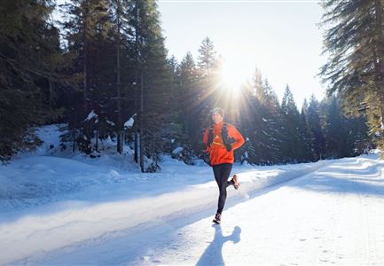
This village running loop takes you through Seefeld’s highlights – from the snow-covered Wildsee to the scenic viewpoint at Pfarrhügel and the famous Seekirchl, ending with a stroll through the cozy pedestrian zone. The route is easy to run all year round and offers a great mix of nature and sights.

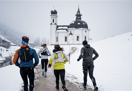
The tour starts at the information office by Seefeld train station. From there, the path leads through the pedestrian zone, lined with shops and cafés. Passing Casino Seefeld, the village square, and the former Augustinian monastery (now the Hotel Klosterbräu), the route continues to the shopping arcades. At the roundabout near the Olympiabad (public pool), stay straight until you reach the Seekirchl – a true postcard-worthy sight in its winter setting.

Next, the route climbs up to Pfarrhügel, offering a beautiful view over Seefeld and down to Wildsee, where the Apostles' Circle stands. The trail then leads past St. Oswald’s Parish Church and back through the pedestrian zone.

Now, things get quieter. Passing the horse-drawn carriage parking area, a short path turns right towards Wildsee.

Read More...

Features & Characteristics

Stamina

Technique

Start Point

Seefeld Railway Station

End Point

Seefeld Railway Station

Similar Tour Suggestions

Winter-Trailrunning in der Region Seefeld_Trailrunner läuft durch den Wald im Fludertal.jpg

Running

Winter Village Running Loop Scharnitz

Length

8,30 km

Duration

02:00 h

Uphill

42 hm

Altitude

1010 hm

Difficulty

Easy

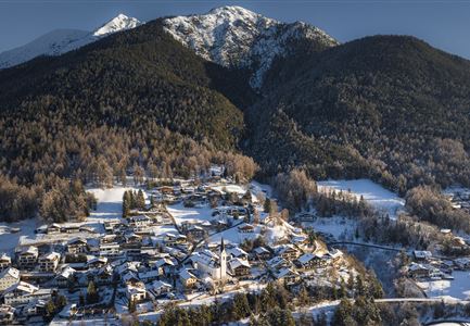
Drohnenaufnahme Reith im Winter - Ortszentrum mit Kirche und Reither Spitze im Hintergrund.jpg

Running

Winter Village Running Loop Reith

Length

4,60 km

Duration

01:30 h

Uphill

105 hm

Altitude

1128 hm

Difficulty

Easy

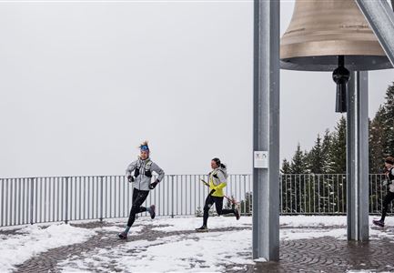
Wintertrailrunning in der Region Seefeld - Läufer bei Friedensglocke.jpg

Running

Winter Village Running Loop Mösern

Length

4,40 km

Duration

01:00 h

Uphill

92 hm

Altitude

1289 hm

Difficulty

Easy

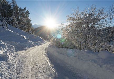
Wanderweg Reith-Seefeld im Winter.jpg

Running

Wintertrail - Seefeld to Reith through the Hölltal

Length

12,70 km

Uphill

280 hm

Altitude

1303 hm

Difficulty

Medium

Wettersteinhütte - Schitour, Winterwandern und Rod

Running

Wintertrail - Leutasch Wettersteinhütte

Length

19,00 km

Uphill

633 hm

Altitude

1717 hm

Difficulty

Hard

Wintertrailrunning in der Region Seefeld - Läufer vor dem Seekirchl.jpg

Running

Wintertrail - around the Gschwandtkopf

Length

10,50 km

Uphill

253 hm

Altitude

1340 hm

Difficulty

Easy

Wintertrailrunning in der Region Seefeld - Zwei Läufer in traumhafter Winterlandschaft.jpg

Running

Wintertrail - Seefeld to Katzenkopf hut

Length

16,70 km

Uphill

360 hm

Altitude

1371 hm

Difficulty

Hard

Schneespaziergang Leutasch-2.jpg

Running

Wintertrail - Leutascher Ache (Kirchplatzl)

Length

3,10 km

Uphill

20 hm

Altitude

1147 hm

Difficulty

Easy