Start Point

Parking lot Puitbach/Ahrn Leutasch

End Point

Parking lot Puitbach/Ahrn Leutasch

Difficulty

Easy

Total Distance

1,90 km

Descent Meters

23 m

Highest Point

1100 m

Status

Closed

Map & Elevation Profile

Start Point

Parking lot Puitbach/Ahrn Leutasch

End Point

Parking lot Puitbach/Ahrn Leutasch

Difficulty

Easy

Total Distance

1,90 km

Descent Meters

23 m

Highest Point

1100 m

Status

Closed

Cross-country Skiing

Best Time

Closed

Jan

Feb

Mar

Apr

May

Jun

Jul

Aug

Sep

Oct

Nov

Dec

Ski-nordic

Ski-nordic-classic

+5

Trail Entry point:
At the Puitbach/Ahrn parking lot in the Puitbach district.

Trail Character:
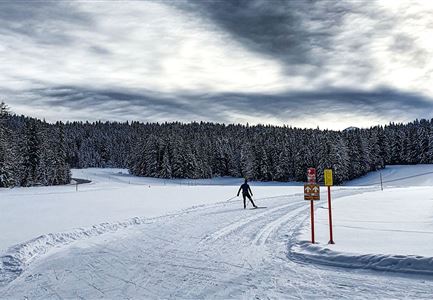
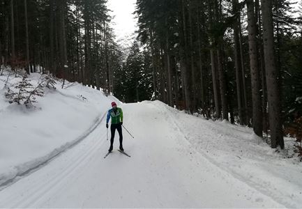
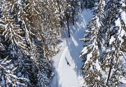
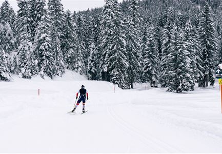
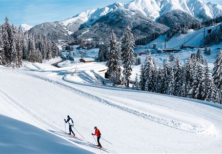
The A8 Lehner Trail is a very short loop starting from the parking lot in Puitbach. From there, you need to cross the road to reach the trailhead. The route follows the edge of the forest towards Ahrn and Lehner, looping behind the houses back to the starting point. The A8 serves as an ideal connecting trail to the A9 Unterleutasch and is also perfectly suited for sled cross-country skiing.

Connecting Trails:
A9 Unterleutasch
If you run directly from the parking lot towards Ahrn, you can cross the road and then continue onto the A7 Gasse Trail.
An overview of the entire cross-country skiing network (incl. trail status) and helpful cross-country skiing information (ticket machines, waxing and service points, changing facilities, ...) can be found in the cross-country skiing report.

Features & Characteristics

Stamina

Technique

Start Point

Parking lot Puitbach/Ahrn Leutasch

End Point

Parking lot Puitbach/Ahrn Leutasch

Barrier-free/adaptive cross-country skiing

Yes

Skating

Yes

Klassisch

Yes

Similar Tour Suggestions

Loipe B11 Waldloipe Drohne

Cross-country Skiing

B11 – Waldloipe

Length

2,70 km

Uphill

51 hm

Altitude

1183 hm

Difficulty

Medium

Closed
B1-Loipe-Moesern

Cross-country Skiing

B1 - Mösern

Length

5,50 km

Uphill

110 hm

Altitude

1228 hm

Difficulty

Medium

Closed
Loipe A12 - Scharnitz - Luftaufnahme

Cross-country Skiing

A12 - Scharnitz

Length

3,40 km

Uphill

20 hm

Altitude

980 hm

Difficulty

Easy

Closed
C7 Loipe_Loipe bergauf.jpg

Cross-country Skiing

C7 - Bichlwald

Length

3,60 km

Uphill

141 hm

Altitude

1323 hm

Difficulty

Hard

Closed
Loipe C6 Buchen

Cross-country Skiing

C6 - Buchen

Length

3,10 km

Uphill

44 hm

Altitude

1323 hm

Difficulty

Hard

Closed
Langlaufen in der Region Seefeld - Klassisch - Ferienheim Wildmoos (3).jpg

Cross-country Skiing

B3 - Wildmoos See

Length

2,90 km

Uphill

49 hm

Altitude

1331 hm

Difficulty

Medium

Closed
LL B10 Moeserer See - Seefeld.jpg

Cross-country Skiing

B10 - Möserer See

Length

2,50 km

Uphill

96 hm

Altitude

1323 hm

Difficulty

Medium

Closed
Morgenstimmung im Wildmoos - Loipe C2

Cross-country Skiing

Olympia Track

Length

32,00 km

Uphill

589 hm

Difficulty

Hard