Start Point

Scharnitz

End Point

Gießenbach Süd

Difficulty

Easy

Total Distance

2,00 km

Descent Meters

32 m

Highest Point

998 m

Status

Closed

Map & Elevation Profile

Start Point

Scharnitz

End Point

Gießenbach Süd

Difficulty

Easy

Total Distance

2,00 km

Descent Meters

32 m

Highest Point

998 m

Status

Closed

Cross-country Skiing

Best Time

Closed

Jan

Feb

Mar

Apr

May

Jun

Jul

Aug

Sep

Oct

Nov

Dec

Ski-nordic

Ski-nordic-classic

+4

Access to the ski track:
A12

Connected track:

A12
An overview of the entire cross-country skiing network (incl. trail status) and helpful cross-country skiing information (ticket machines, waxing and service points, changing facilities, ...) can be found in the cross-country skiing report.

Track characteristics:
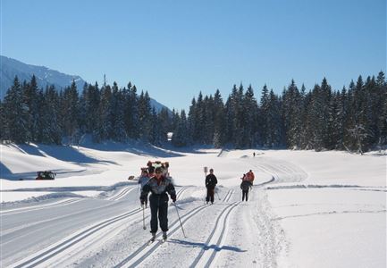
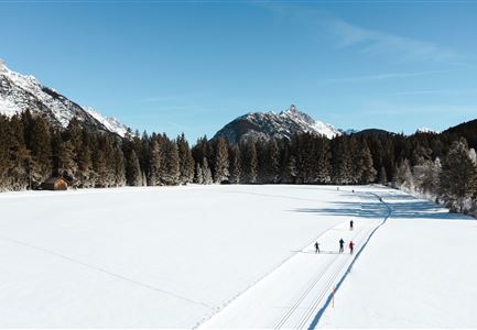
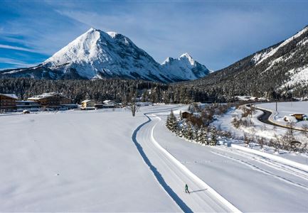
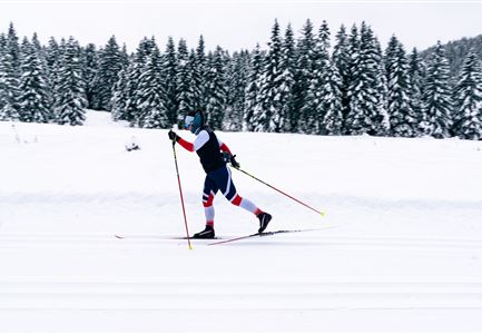
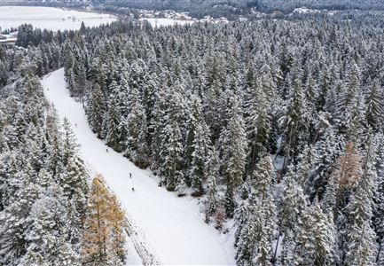
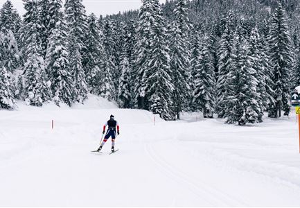
Running parallel to the Giessenbach stream, the classic-style-only A13 trail is not only popular with beginners.

Information:
Adaptive cross-country skiing is possible!

Refreshment stops:

Gasthof Ramona

Public transport:
The fastest public connection to the start of the cross-country skiing trail can be found directly in our route planner. Take the regional/ski bus to the stop "Scharnitz train station" (free bus use with guest card or cross-country skiing ticket). You can find all connections in real time with the Mobility-App "wegfinder".

Parking facility:
P7

Emergency call:
Tel.: 140

Features & Characteristics

Start Point

Scharnitz

End Point

Gießenbach Süd

Barrier-free/adaptive cross-country skiing

Yes

Klassisch

Yes

Similar Tour Suggestions

Leutasch Katzenkopf

Cross-country Skiing

C4 - Katzenkopf

Length

2,20 km

Uphill

45 hm

Altitude

1373 hm

Difficulty

Hard

Closed
A14_Baerenwirt

Cross-country Skiing

A14 - Bärenwirt

Length

1,20 km

Uphill

9 hm

Altitude

1021 hm

Difficulty

Easy

Closed
Loipe A5 Obern in Leutasch - Luftaufnahme (2).jpg

Cross-country Skiing

A5 - Obern

Length

5,30 km

Uphill

29 hm

Altitude

1177 hm

Difficulty

Easy

Closed
Luftaufnahme der Loipe A10 Weidach mit Langlaeuferin und Hoher Munde.jpg

Cross-country Skiing

A10 – Weidach

Length

1,70 km

Uphill

14 hm

Altitude

1120 hm

Difficulty

Easy

Closed
B7 Klassisch.jpg

Cross-country Skiing

B9 - Triendlsäge

Length

3,00 km

Uphill

-120 hm

Altitude

1163 hm

Difficulty

Medium

Closed
Snowfarming Loipe Leutasch

Cross-country Skiing

A6 - Snowfarming track Leutasch

Length

2,80 km

Uphill

21 hm

Altitude

1153 hm

Difficulty

Easy

Closed
C3 Neuleutasch - Skating in Wildmoos

Cross-country Skiing

C3 – Neuleutasch

Length

5,10 km

Uphill

142 hm

Altitude

1335 hm

Difficulty

Hard

Closed
Klassische Langlauf Spur

Cross-country Skiing

B6 - Interalpen Connection East

Length

500 m

Uphill

13 hm

Altitude

1342 hm

Difficulty

Medium

Closed