Start Point

Wildmoosalm

End Point

Wildmoosalm

Difficulty

Medium

Total Distance

2,90 km

Descent Meters

49 m

Highest Point

1331 m

Status

Closed

Map & Elevation Profile

Start Point

Wildmoosalm

End Point

Wildmoosalm

Difficulty

Medium

Total Distance

2,90 km

Descent Meters

49 m

Highest Point

1331 m

Status

Closed

Cross-country Skiing

Best Time

Closed

Jan

Feb

Mar

Apr

May

Jun

Jul

Aug

Sep

Oct

Nov

Dec

Ski-nordic

Ski-nordic-classic

+3

Access to the ski track:

Wildmoosalm, Ferienheim Wildmoos or via C5

Connected tracks:

A3 | C2 | C11

An overview of the entire cross-country skiing network (incl. trail status) and helpful cross-country skiing information (ticket machines, waxing and service points, changing facilities, ...) can be found in the cross-country skiing report.

Track characteristics:

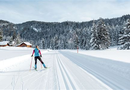
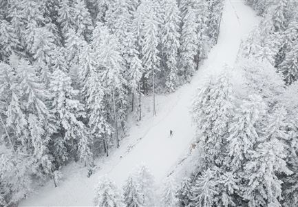
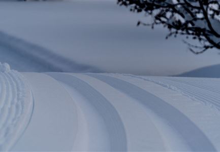
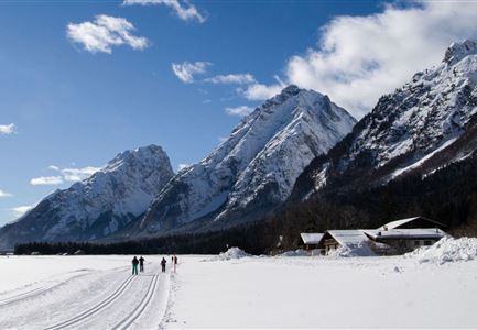
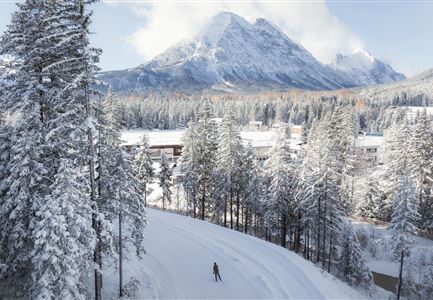
From woodland clearings to forests, from sunny plateaus to icy-cold hollows, the B3 trail has it all! One of the unique characteristics of this trail is the (quite literally) breathtaking temperature changes in the basin area of the Wildmoossee and Lottensee lakes.

Information:

Very snow-reliable trail, but caution is advised on exposed sections where iciness can occur during the late winter season. The section between the Ferienkolonie and the hut Lottensee was structural anewed.

Refreshment stops:

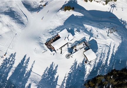
Wildmoosalm

Public transport:

The fastest public connection to the start of the cross-country skiing trail can be found directly in our route planner. Take the Regio-/Skibus to the "Wildmoos" stop (a bus ticket is required for the Wildmoosbus – the guest card, leisure residence card & cross-country skiing card are valid as bus ticket). You can find all connections in real time with the

Read More...

Features & Characteristics

Start Point

Wildmoosalm

End Point

Wildmoosalm

Skating

Yes

Klassisch

Yes

Videos

01

Similar Tour Suggestions

Langlaufen-A4-Muggenmoos-Loipe---Buchen

Cross-country Skiing

A4 - Muggenmoos

Length

1,60 km

Uphill

15 hm

Altitude

1262 hm

Difficulty

Easy

Closed
Drohnenbild Top Down einzelner Läufer in Lücke zwischen Bäumen.jpg

Cross-country Skiing

B14 – Waldloipe Alpenbad

Length

1,10 km

Uphill

10 hm

Altitude

1160 hm

Difficulty

Medium

Closed
A13 Scharnitz

Cross-country Skiing

A13 - Scharnitz-Klassik

Length

2,00 km

Uphill

32 hm

Altitude

998 hm

Difficulty

Easy

Closed
Loipe Plaik mit Blick auf die Hohe Munde - Loipe C9 - Luftaufnahme.jpg

Cross-country Skiing

C9 - Plaik

Length

8,70 km

Uphill

169 hm

Altitude

1224 hm

Difficulty

Hard

Closed
Klassische Langlauf Spur

Cross-country Skiing

B6 - Interalpen Connection East

Length

500 m

Uphill

13 hm

Altitude

1342 hm

Difficulty

Medium

Closed
Loipe A9 Unterleutasch

Cross-country Skiing

A9 - Unterleutasch

Length

13,70 km

Uphill

81 hm

Altitude

1092 hm

Difficulty

Easy

Closed
Neuschnee und Snowlarming Eröffnung-18.jpg

Cross-country Skiing

A6 - Alpenbad

Length

5,60 km

Uphill

70 hm

Altitude

1160 hm

Difficulty

Easy

Closed
Leutasch Katzenkopf

Cross-country Skiing

C4 - Katzenkopf

Length

2,20 km

Uphill

45 hm

Altitude

1373 hm

Difficulty

Hard

Closed