We use cookies for your personalized browsing experience, to personalize content and ads, to provide social media features, and to analyze traffic to our website. We also share information about your use of our website with our social media, advertising and analytics partners. Our partners may combine this information with other data that you have provided to them or that they have collected as part of your use of the Services. (incl. US providers)

Start Point

Seefeld - Birkenlift

End Point

Bodenalm Seefeld

Difficulty

Medium

Total Distance

3,00 km

Descent Meters

-120 m

Highest Point

1163 m

Status

Closed

Map & Elevation Profile

Start Point

Seefeld - Birkenlift

End Point

Bodenalm Seefeld

Difficulty

Medium

Total Distance

3,00 km

Descent Meters

-120 m

Highest Point

1163 m

Status

Closed

Cross-country Skiing

Best Time

Closed

Jan

Feb

Mar

Apr

May

Jun

Jul

Aug

Sep

Oct

Nov

Dec

Ski-nordic-classic

Ski-nordic

+1

Access to the ski track:

Birkenlift Seefeld

Connected track:

A11

An overview of the entire cross-country skiing network (incl. trail status) and helpful cross-country skiing information (ticket machines, waxing and service points, changing facilities, ...) can be found in the cross-country skiing report.

Track characteristics:

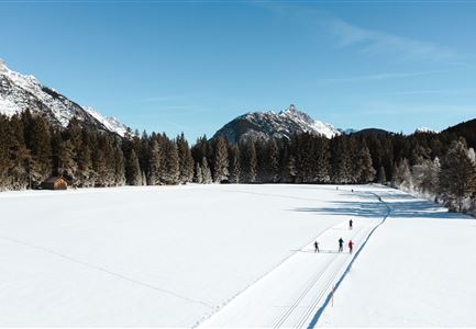
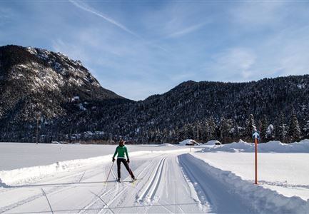
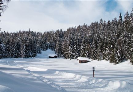
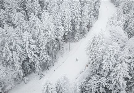
The B9 Triendlsäge trail connects the villages of Seefeld and Scharnitz. Skiable in both directions, the route leads through the forest all the way.

Information:

Due to the fact that the trail is very narrow in places, skiers must watch out for other skiers coming in the opposite direction and be very careful when approaching bends.

Refreshment stop:

Gasthof Triendlsäge

Public transport:

The fastest public connection to the start of the cross-country skiing trail can be found directly in our route planner. Take the regional/ski bus to the stop "Birkenlift" (free bus use with guest card or cross-country skiing ticket). You can find all connections in real time with the Mobility-App "wegfinder".

Parking facility:

P17

Emergency call:

Tel.: 140

Features & Characteristics

Start Point

Seefeld - Birkenlift

End Point

Bodenalm Seefeld

Klassisch

Yes

Similar Tour Suggestions

Loipe B11 Waldloipe Drohne

Cross-country Skiing

B11 – Waldloipe

Length

2,70 km

Uphill

51 hm

Altitude

1183 hm

Difficulty

Medium

Closed
Loipe A12 - Scharnitz - Luftaufnahme

Cross-country Skiing

A12 - Scharnitz

Length

3,40 km

Uphill

20 hm

Altitude

980 hm

Difficulty

Easy

Closed
Luftaufnahme der Loipe A10 Weidach mit Langlaeuferin und Hoher Munde.jpg

Cross-country Skiing

A10 – Weidach

Length

1,70 km

Uphill

14 hm

Altitude

1120 hm

Difficulty

Easy

Skating only
(c)Olympiaregion-Seefeld-Sebastian-Marko-Ganghoferlauf-Leutasch-(76).jpg

Cross-country Skiing

Race Euroloppet Ganghoferlauf - classic 25 km

Length

25,00 km

Uphill

253 hm

Altitude

1226 hm

Difficulty

Hard

C3 Neuleutasch - Skating in Wildmoos

Cross-country Skiing

C3 – Neuleutasch

Length

5,10 km

Uphill

142 hm

Altitude

1335 hm

Difficulty

Hard

Closed
Drohnenbild Top Down einzelner Läufer in Lücke zwischen Bäumen.jpg

Cross-country Skiing

B14 – Waldloipe Alpenbad

Length

1,10 km

Uphill

10 hm

Altitude

1160 hm

Difficulty

Medium

Open
C10-Mundeknie-Loipe---Leutasch

Cross-country Skiing

C10 – Mundeknie

Length

2,50 km

Uphill

84 hm

Altitude

1263 hm

Difficulty

Hard

Closed
Wildmoos Langlaufen

Cross-country Skiing

Wildmoos circuit (classic & skating)

Length

17,00 km

Uphill

324 hm

Altitude

1332 hm

Difficulty

Hard

Closed