Start Point

Wildmoosalm

End Point

Wildmoosalm

Difficulty

Hard

Total Distance

4,80 km

Descent Meters

144 m

Highest Point

1297 m

Status

Closed

Map & Elevation Profile

Start Point

Wildmoosalm

End Point

Wildmoosalm

Difficulty

Hard

Total Distance

4,80 km

Descent Meters

144 m

Highest Point

1297 m

Status

Closed

Cross-country Skiing

Best Time

Closed

Jan

Feb

Mar

Apr

May

Jun

Jul

Aug

Sep

Oct

Nov

Dec

Ski-nordic

Ski-nordic-classic

+3

Access to the ski track:

Via track C1

Connected tracks:

A3 | B3 | C1

An overview of the entire cross-country skiing network (incl. trail status) and helpful cross-country skiing information (ticket machines, waxing and service points, changing facilities, ...) can be found in the cross-country skiing report.

Track characteristics:

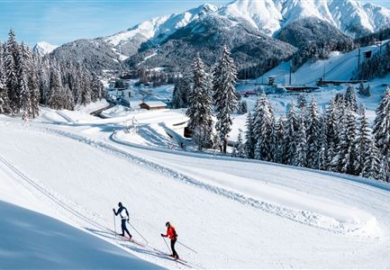
The C2 Wildmoos trail connects Seefeld and Wildmoos in both directions. The trail has been extended and enhanced and is now perfectly suited to cross-country skiers who enjoy a challenge.


Information:

Exposed areas along the trail are prone to iciness; therefore caution is advised, particularly on downhill sections.

Refreshment stop:

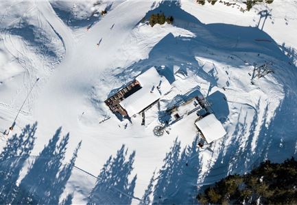
Wildmoosalm

Emergency call:

Tel.: 140

Features & Characteristics

Start Point

Wildmoosalm

End Point

Wildmoosalm

Skating

Yes

Klassisch

Yes

Similar Tour Suggestions

B4 Loipeneinstieg Skatingzentrum Leutasch

Cross-country Skiing

B4 - Skatingzentrum

Length

1,20 km

Uphill

39 hm

Altitude

1205 hm

Difficulty

Medium

Closed
B7 Panoramaloipe Klassisch

Cross-country Skiing

B7 - Panorama

Length

2,40 km

Uphill

62 hm

Altitude

1220 hm

Difficulty

Medium

Closed
B13 Loipe - Moeserer See-Richtung Lottensee

Cross-country Skiing

B13 - Lottensee-Möserer See

Length

2,90 km

Uphill

97 hm

Altitude

1325 hm

Difficulty

Medium

Closed
Langlaufloipe A11

Cross-country Skiing

A11 - Bodenalm

Length

10,70 km

Uphill

60 hm

Altitude

1037 hm

Difficulty

Easy

Closed
B1-Loipe-Moesern

Cross-country Skiing

B1 - Mösern

Length

5,50 km

Uphill

110 hm

Altitude

1228 hm

Difficulty

Medium

Closed
Loipe A5 Obern in Leutasch - Luftaufnahme (2).jpg

Cross-country Skiing

A5 - Obern

Length

5,30 km

Uphill

29 hm

Altitude

1177 hm

Difficulty

Easy

Closed
Klassische Langlauf Spur

Cross-country Skiing

B8 - Interalpen Connection West

Length

400 m

Uphill

24 hm

Altitude

1342 hm

Difficulty

Medium

Closed
Loipe A7 Gasse mit Langlaeuferin.jpg

Cross-country Skiing

A7 - Gasse

Length

4,70 km

Uphill

37 hm

Altitude

1121 hm

Difficulty

Easy

Closed