Start Point

Moos Rödlach parking lot

End Point

Moos Rödlach parking lot

Difficulty

Hard

Total Distance

2,50 km

Descent Meters

84 m

Highest Point

1263 m

Status

Closed

Map & Elevation Profile

Start Point

Moos Rödlach parking lot

End Point

Moos Rödlach parking lot

Difficulty

Hard

Total Distance

2,50 km

Descent Meters

84 m

Highest Point

1263 m

Status

Closed

Cross-country Skiing

Best Time

Closed

Jan

Feb

Mar

Apr

May

Jun

Jul

Aug

Sep

Oct

Nov

Dec

Ski-nordic-classic

Ski-nordic-skating

+2

Trail Entry Point: 
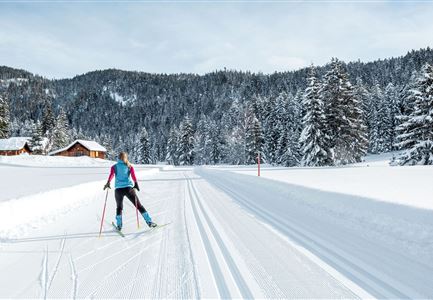
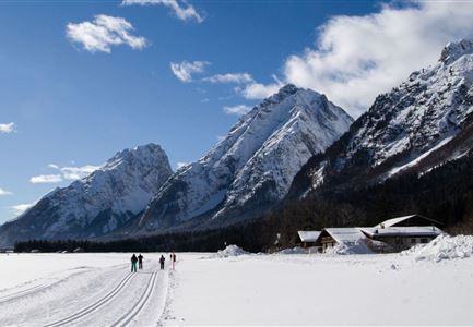
Access the trail via parking lot P11 Rödlach in Moos. Start by entering the B4 Skating Center trail and shortly after, turn right onto the Mundeknie trail.

Trail Character:
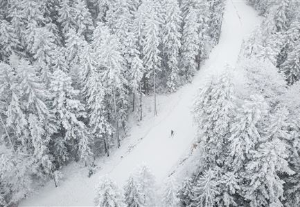
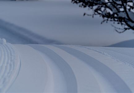
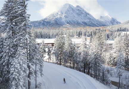
After a steep initial climb, the trail continues with a moderate ascent leading to Muggenmoos. The circular trail features an exhilarating downhill section back toward Moos, followed by a return to the starting point. This trail is suitable for experienced cross-country skiers.

Connecting Trails: 
A4 Muggenmoos, A5 Obern and B4 Skating Center
For an overview of the entire trail network (including trail status) and helpful cross-country skiing information (ticket machines, waxing and service stations, changing facilities, etc.), check out the trail report.

Features & Characteristics

Start Point

Moos Rödlach parking lot

End Point

Moos Rödlach parking lot

Skating

Yes

Klassisch

Yes

Similar Tour Suggestions

Langlaufen-A4-Muggenmoos-Loipe---Buchen

Cross-country Skiing

A4 - Muggenmoos

Length

1,60 km

Uphill

15 hm

Altitude

1262 hm

Difficulty

Easy

Closed
Drohnenbild Top Down einzelner Läufer in Lücke zwischen Bäumen.jpg

Cross-country Skiing

B14 – Waldloipe Alpenbad

Length

1,10 km

Uphill

10 hm

Altitude

1160 hm

Difficulty

Medium

Closed
A13 Scharnitz

Cross-country Skiing

A13 - Scharnitz-Klassik

Length

2,00 km

Uphill

32 hm

Altitude

998 hm

Difficulty

Easy

Closed
Loipe Plaik mit Blick auf die Hohe Munde - Loipe C9 - Luftaufnahme.jpg

Cross-country Skiing

C9 - Plaik

Length

8,70 km

Uphill

169 hm

Altitude

1224 hm

Difficulty

Hard

Closed
Klassische Langlauf Spur

Cross-country Skiing

B6 - Interalpen Connection East

Length

500 m

Uphill

13 hm

Altitude

1342 hm

Difficulty

Medium

Closed
Loipe A9 Unterleutasch

Cross-country Skiing

A9 - Unterleutasch

Length

13,70 km

Uphill

81 hm

Altitude

1092 hm

Difficulty

Easy

Closed
Neuschnee und Snowlarming Eröffnung-18.jpg

Cross-country Skiing

A6 - Alpenbad

Length

5,60 km

Uphill

70 hm

Altitude

1160 hm

Difficulty

Easy

Closed
Leutasch Katzenkopf

Cross-country Skiing

C4 - Katzenkopf

Length

2,20 km

Uphill

45 hm

Altitude

1373 hm

Difficulty

Hard

Closed