We use cookies for your personalized browsing experience, to personalize content and ads, to provide social media features, and to analyze traffic to our website. We also share information about your use of our website with our social media, advertising and analytics partners. Our partners may combine this information with other data that you have provided to them or that they have collected as part of your use of the Services. (incl. US providers)
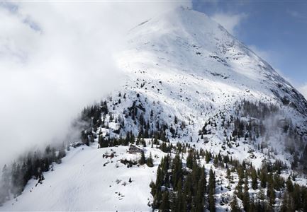
Gaistal in winter

Gaistal in winter

Winter hikes in Gaistal

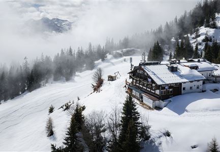
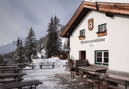
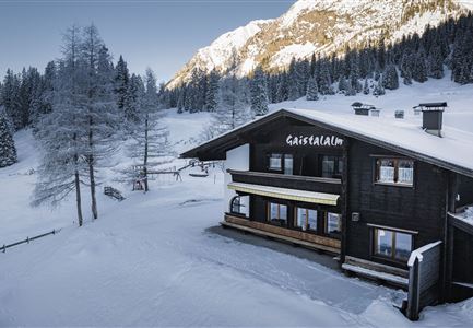
The Gaistal also offers wonderful views and various winter hiking trails in winter. You can stop off and warm up at the Wettersteinhütte, Hämmermoosalm, Gaistalalm and Rauthhütte, which are also open in winter.

Wettersteinhütte im Winter - Aufnahme von der Seite mit Sitzbänken.jpg

Hiking

W14: Winter hike to the Wettersteinhütte

Length

8,30 km

Duration

04:00 h

Uphill

504 hm

Altitude

1717 hm

Difficulty

Medium

Open
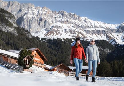
Winterwandern Paar Oberer Wiesenweg Aufnahme von Paar von Hinten laufen neben Zaun (1).jpg

Hiking

Stage 4: From Wettersteinhütte to Leutasch – Tyrol’s 1. Winter Multi-day Hike

Length

9,50 km

Duration

03:30 h

Uphill

25 hm

Altitude

1717 hm

Difficulty

Medium

Open
Gaistalalm im Winter - Drohnennahaufnahme von der Seite mit Wettersteingebirge (2).jpg

Hiking

W12: Winter hike to the Gaistalalm

Length

8,20 km

Duration

02:30 h

Uphill

182 hm

Altitude

1366 hm

Difficulty

Easy

Open
Haemmermoosalm im Winter.jpg

Hiking

W11: Winter hike to the Hämmermoosalm

Length

4,00 km

Duration

02:00 h

Uphill

173 hm

Downhill

171 hm

Altitude

1410 hm

Difficulty

Easy

Open
Drohnenaufnahme Rauthhütte - Hütte von der Seite mit nebeligem Inntal.jpg

Hiking

W13: Winter Hike to the Rauthhütte

Length

5,00 km

Duration

03:00 h

Uphill

424 hm

Downhill

418 hm

Altitude

1602 hm

Difficulty

Medium

Open
Drohnenaufnahme Wettersteinhütte - Nahaufnahme mit Blick ins Wettersteingebirge (1).jpg

Hiking

Stage 3: From Mösern to Wettersteinhütte – Tyrol’s 1. Winter Multi-day Hike

Length

14,00 km

Duration

06:00 h

Uphill

718 hm

Altitude

1719 hm

Difficulty

Medium

Open

Snow paths

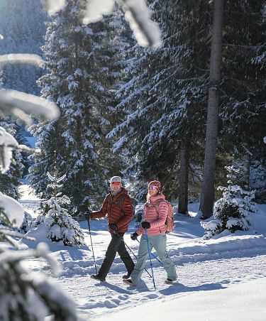
Snowshoe Tour to the Rauthhütte

Snowshoe hiking route S4: To the alpine hut Rauthhütte

Medium

Snowshoe hiking

Start Point: Ropferstub'm Buchen

End Point: Mundestadl

4,10 km

02:30 h

382 hm

409 hm

1587 m

View Map

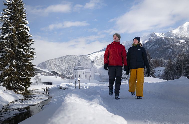
winterwandern-paar-seefeld-moeserer-tal-paar-laeuft-vor-seekirchel-2

142 kilometres of cleared and signposted hiking trails

All winter hiking trails
Here you will find all the winter hiking trails in the Region Seefeld. You can enjoy 142 kilometers of cleared and marked paths that lead to breathtaking viewpoints and inviting places to stop for a break.

Tourismusverband Seefeld | Austria +43 5 0880 | region@seefeld.com | www.seefeld.com