Start Point

Seefeld Kurpark

End Point

Seefeld Kurpark

Difficulty

Medium

Total Distance

9,00 km

Descent Meters

573 m

Ascent Meters

573 m

Highest Point

1750 m

Total Time

02:00 h

Map & Elevation Profile

Start Point

Seefeld Kurpark

End Point

Seefeld Kurpark

Difficulty

Medium

Total Distance

9,00 km

Descent Meters

573 m

Ascent Meters

573 m

Highest Point

1750 m

Total Time

02:00 h

Hiking

Best Time

Jan

Feb

Mar

Apr

May

Jun

Jul

Aug

Sep

Oct

Nov

Dec

Hiking tour

Thematic route

+2

Starting from Seefeld's Kurpark, this educational rock path leads over seven stations through the Hermannstal valley and up to the Rosshütte panorama restaurant. At the total of seven way stations, various rocky fines from the region are presented and their origin and composition are described: Granite and mica schist, flasergneiss, metaandesite and biotite gneiss - expert knowledge you can touch.

From the start at the Kurpark, the Andreas-Hofer-Strasse first leads eastwards and then left at the traffic circle to the parking lot P19 of the Rosshütte cable cars at the back. Cross this straight ahead and change between the two buildings on the ski run. After two comfortable serpentines, the trail changes to the Woldrichsteig through the Hermannstal valley and, after crossing it, finally takes the access to the left to the panoramic restaurant Rosshütte. With a beautiful view of the mountains, you can end the hike here in comfort, enjoy wonderful delicacies on the sun terrace and can then also take the mountain railroad downhill quite comfortably. As an alternative, take the same route back to the starting point.

Features & Characteristics

Start Point

Seefeld Kurpark

End Point

Seefeld Kurpark

Family-friendly

Yes

Similar Tour Suggestions

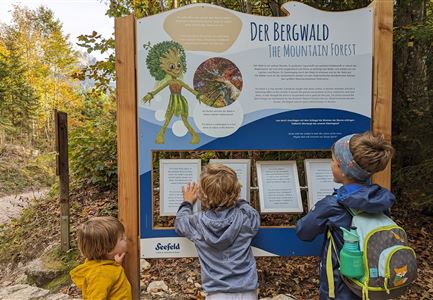
kinder_bei_infotafel_in_der_geisterklamm.jpg

Hiking

Short circular trail at the Spirit Gorge

Length

500 m

Duration

00:15 h

Uphill

10 hm

Altitude

1027 hm

Difficulty

Easy

Closed
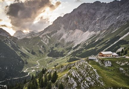
Rotmoosalm im Gaistal beim Sonnenuntergang (C) Olympiaregion Seefeld

Hiking

High Pasture alpine hut hike above the Gaistal Valley

Length

24,40 km

Duration

09:45 h

Uphill

1263 hm

Downhill

1264 hm

Altitude

2132 hm

Difficulty

Medium

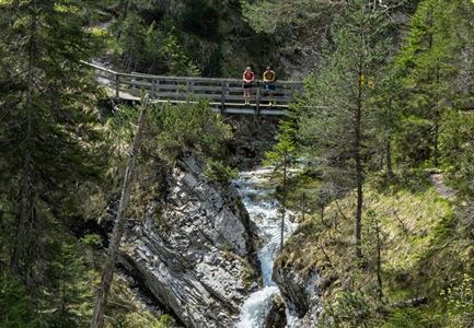
Gleirschklamm - Scharnitz (17).jpg

Hiking

Hike through the Gleirschklamm to the Möslalm

Length

21,20 km

Duration

06:30 h

Uphill

505 hm

Downhill

498 hm

Altitude

1261 hm

Difficulty

Medium

Closed
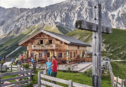
Personen bei der Rotmoosalm im Sommer - auf der Terrasse (1).jpg

Hiking

Hike to the Rotmoosalm alpine hut

Length

9,00 km

Duration

05:30 h

Uphill

842 hm

Altitude

2037 hm

Difficulty

Medium

Höhenweg Leutasch_Aussichtsplattform Höhenweg.jpg

Hiking

Circular hike to the viewing platform on the Höhenweg - Runst

Length

7,40 km

Duration

02:00 h

Uphill

128 hm

Altitude

1156 hm

Difficulty

Easy

Familie in der Region Seefeld - Leutascher Ache.jpg

Hiking

Hike along the Achweg

Length

10,80 km

Duration

03:00 h

Uphill

70 hm

Downhill

78 hm

Altitude

10777 hm

Difficulty

Easy

Katzenkopfhuette Leutasch (2).jpg

Hiking

Hike to the Katzenkopfhütte alpine hut

Length

5,20 km

Duration

02:00 h

Uphill

243 hm

Altitude

1360 hm

Difficulty

Easy

Sonnenaufgang im Karwendel_Speckkarspitze

Hiking

Bike & Hike Speckkarspitze, 2,621 m

Length

44,00 km

Duration

11:00 h

Uphill

1794 hm

Altitude

2621 hm

Difficulty

Hard