We use cookies for your personalized browsing experience, to personalize content and ads, to provide social media features, and to analyze traffic to our website. We also share information about your use of our website with our social media, advertising and analytics partners. Our partners may combine this information with other data that you have provided to them or that they have collected as part of your use of the Services. (incl. US providers)

Start Point

Parking lot P2 'Stupfer' in Gaistal

End Point

Parking lot P2 'Stupfer' in Gaistal

Difficulty

Medium

Total Distance

24,40 km

Descent Meters

1263 m

Ascent Meters

1264 m

Highest Point

2132 m

Total Time

09:45 h

Map & Elevation Profile

Start Point

Parking lot P2 'Stupfer' in Gaistal

End Point

Parking lot P2 'Stupfer' in Gaistal

Difficulty

Medium

Total Distance

24,40 km

Descent Meters

1263 m

Ascent Meters

1264 m

Highest Point

2132 m

Total Time

09:45 h

Hiking

Best Time

Jan

Feb

Mar

Apr

May

Jun

Jul

Aug

Sep

Oct

Nov

Dec

Hiking tour

Hut hikes

+2

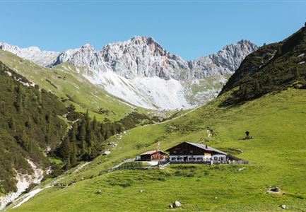
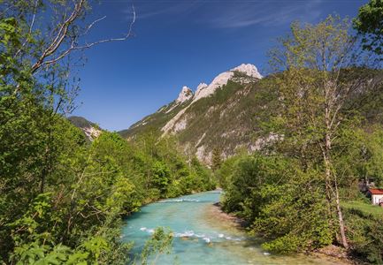
This extensive and varied hike through the alpine paradise of Gaistal can also be done in sections, depending on your preference. The diverse High Alpine Circular Hike starts right from the hiking parking lot P2 (Stupfer) in Leutasch's Gaistal. A large wooden sign marks the path leading towards the Wettersteinhütte and Wangalm.

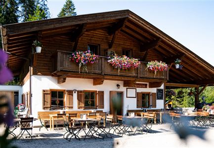
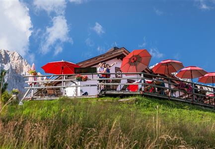
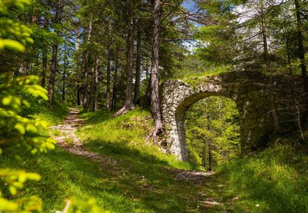
At the beginning, you'll face a steep and sporty climb through beautiful forest trails before reaching a wide gravel forest road. Follow the yellow hiking signs up to just below the rustic Wettersteinhütte (1,717 m). Here, you can choose between a spectacular path directly to the hut or a slightly easier ascent. Both routes require good footing and stamina, but once you reach the hut, you can enjoy delicious food with stunning views of the Wetterstein mountains.

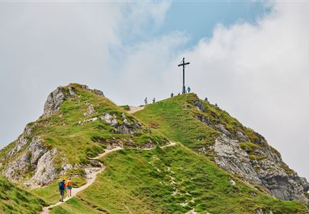
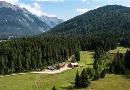
A little further on, you'll find the idyllic Wangalm (1,753 m). Here, you can experience traditional alpine life up close in a cozy setting. Climbers can explore several rock climbing routes nearby, while peak baggers can follow signs to the Gehrenspitze summit (2,367 m).

From Wangalm, the hike continues northwards

Read More...

Features & Characteristics

Similar Tour Suggestions

Ausblick von der Arnplattenspitze auf die Gehrenspitze, Hohe Munde

Hiking

Circular hike Arnplattenspitze, 2,171 m

Length

8,60 km

Duration

07:00 h

Uphill

1106 hm

Altitude

2171 hm

Difficulty

Hard

Partially open
Leutascher Geisterklamm mit Blick Richtung Mittenwald.jpg

Hiking

Long Gorge Trail through the Leutasch Spirit Gorge with Themed Trail

Length

3,20 km

Duration

01:30 h

Uphill

129 hm

Downhill

127 hm

Altitude

1060 hm

Difficulty

Medium

Closed
Isarursprung im Karwendel - Scharnitz (3).jpg

Hiking

Hike to the source of the river Isar & Kasten alpine hut

Length

28,20 km

Duration

06:00 h

Uphill

323 hm

Altitude

1227 hm

Difficulty

Easy

Bikepause an der Isarquelle.jpg

Hiking

Bike & Hike Halleranger house - Halleranger alm

Length

38,00 km

Duration

06:00 h

Uphill

832 hm

Altitude

1768 hm

Difficulty

Medium

Pleisenhütte im Sommer - Scharnitz - quer.jpg

Hiking

Hike to the Pleisen alpine hut

Length

15,90 km

Duration

05:00 h

Uphill

780 hm

Downhill

774 hm

Altitude

1753 hm

Difficulty

Medium

Ropferstubm im Herbst - Moesern-Buchen

Hiking

Hike to the Inn Ropferstub'm

Length

9,20 km

Duration

03:00 h

Uphill

246 hm

Altitude

1316 hm

Difficulty

Easy

Nördlinger Hütte - Wanderer kurz vor der Hütte (2).jpg

Hiking

Circular hike to the Nördlinger Hütte alpine hut & Reither Spitze Summit, 2,374m

Length

9,90 km

Duration

07:30 h

Uphill

1191 hm

Altitude

2374 hm

Difficulty

Hard

Seekirchl im Sommer - Seefeld

Hiking

Circular walk in the Möserer valley

Length

3,10 km

Duration

00:45 h

Uphill

12 hm

Altitude

1196 hm

Difficulty

Easy