We use cookies for your personalized browsing experience, to personalize content and ads, to provide social media features, and to analyze traffic to our website. We also share information about your use of our website with our social media, advertising and analytics partners. Our partners may combine this information with other data that you have provided to them or that they have collected as part of your use of the Services. (incl. US providers)
All trails lead to happiness around Reith

All trails lead to happiness around Reith

Things to see in summer

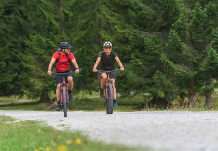
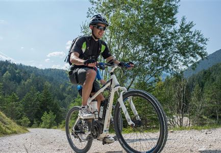
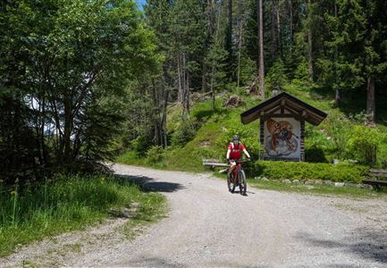
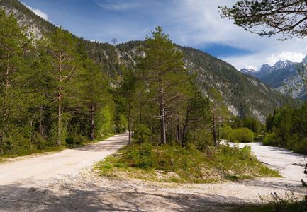
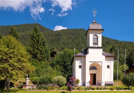
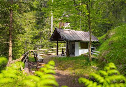
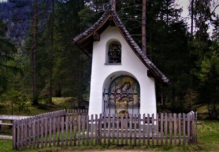
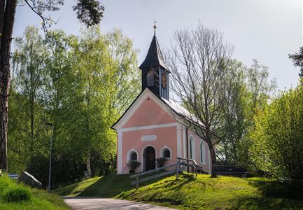
There are countless suggestions on how to really enjoy the Tyrolean mountain summer in Reith. Put on your hiking boots and head for the mountains, for example, because trails lead from the village centre to the Karwendel Nature Park, to the nearby Reither Spitze peak and to the legendary Nördlinger Hütte. If you don't feel the need to master the six stages of the Karwendel Höhenweg, simply take the culture and panorama trail through the Hölltal, the Rosenkranzweg to the Frau Häusl chapel, the wild bee and insect trail to Seefeld or the themed climate trail at the Reither Moor. Alternatively, take a two-wheeler towards Seefeld or the Inn valley, try your hand at the Leithen archery range or attend a summer concert at the 'Musigplatzl' by the over one hundred-year-old Bergkapelle Reith.
bee-4092986

THE WORLD OF BEES

Bee Nature Trail
The completely redesigned Reither Bee Nature Trail stretches for almost three kilometres along the Reither forest path and takes you on a journey into the fascinating world of wild and honey bees, and the many beneficial insects of the forest, via a total of 14 stations and information boards.

DISCOVER TRUE ALPINE DIVERSITY

Routes & tours around Reith

Alle

Hiking

Cycling and mountain biking

Easy

Moderate

Hard

Symbolbild Biken

Cycling

Biketour No. 5049 Reith-Kaiserstandrunde

Length

6,20 km

Uphill

248 hm

Altitude

1327 hm

Difficulty

Hard

Schartlehnerhaus zur Noerdlinger Huette - Karwendel Hoehenweg Etappe 1

Hiking

Karwendel High Trial (Trail 1): Reith bei Seefeld - Nördlinger Hütte

Length

6,50 km

Duration

04:30 h

Uphill

1130 hm

Downhill

10 hm

Altitude

2239 hm

Difficulty

Medium

Reith

Cycling

Biketour No. 588 Reith-Eigenhofen

Length

5,70 km

Uphill

6 hm

Downhill

528 hm

Altitude

1123 hm

Difficulty

Hard

Seefeld Reith 2022 Sommer Wanderung Noerdlinger Huette Reither Spitze Seefelder Spitze Seefelder Joch Panorama Hochplateau

Hiking

Circular hike to the Nördlinger Hütte alpine hut & Reither Spitze Summit, 2,374m

Length

9,10 km

Duration

07:30 h

Uphill

1161 hm

Altitude

2374 hm

Difficulty

Hard

Reitherjoch-Alm (c) Anna Rieder

Cycling

Biketour No. 5032 Reitherjoch Alm

Length

12,60 km

Uphill

385 hm

Altitude

1505 hm

Difficulty

Medium

Reith - Wanderung Frau Häusl Kapelle - Frau Häusl Kapelle mit Farn im Vordergrund.jpg

Hiking

On the rosary walking trail to the Frau Häusl chapel

Length

1,20 km

Duration

01:15 h

Uphill

100 hm

Altitude

1220 hm

Difficulty

Easy

Reith Wiesenweg im Frühling - Drohnenaufnahme strahlend grüne Wiese mit Blick zum Inntal.jpg

Hiking

Circular hiking traill Wiesenweg

Length

4,60 km

Duration

01:30 h

Uphill

109 hm

Altitude

1128 hm

Difficulty

Easy

Reith - Wanderung Frau Häusl Kapelle - Bank und Bildstock mit Aussicht ins Inntal.jpg

Hiking

Circular hike panoramic path

Length

6,70 km

Duration

02:15 h

Uphill

289 hm

Altitude

1306 hm

Difficulty

Easy

Reith im Frühling bei Morgenstimmung - Drohnenaufnahme Kirche mit Blick ins Inntal.jpg

Hiking

Cultural circular walking path Reith

Length

4,57 km

Duration

01:30 h

Uphill

113 hm

Altitude

1126 hm

Difficulty

Easy

Bienenlehrpfad Reith - Infotafel am Bienenhotel (1).jpg

Hiking

Hiking bee trail

Length

2,50 km

Duration

01:00 h

Uphill

72 hm

Altitude

1185 hm

Difficulty

Easy

Gravelbiken in der Region Seefeld (2).jpg

Cycling

Radwanderroute: Reith - Seefeld - Scharnitz

Length

18,50 km

Uphill

140 hm

Downhill

320 hm

Altitude

1200 hm

Difficulty

Easy

Reith-Wiesenwegrunde (c) Anna Rieder

Cycling

Biketour No. 5031 Reith-Wiesenweg

Length

4,50 km

Uphill

123 hm

Altitude

1123 hm

Difficulty

Medium

Schlossbachklamm mit Bahnstrecke - Reith.jpg

Hiking

Hike through the Schlossbachklamm

Length

6,10 km

Duration

02:00 h

Uphill

107 hm

Downhill

299 hm

Altitude

1065 hm

Difficulty

Easy

HISTORICAL SIGHTS

Discover a variety of cultural monuments