We use cookies for your personalized browsing experience, to personalize content and ads, to provide social media features, and to analyze traffic to our website. We also share information about your use of our website with our social media, advertising and analytics partners. Our partners may combine this information with other data that you have provided to them or that they have collected as part of your use of the Services. (incl. US providers)

Start Point

Scharnitz information centre (parking Länd P2)

End Point

Maurach at lake Achensee

Difficulty

Hard

Total Distance

61,50 km

Descent Meters

1850 m

Ascent Meters

1880 m

Highest Point

1800 m

Map & Elevation Profile

Start Point

Scharnitz information centre (parking Länd P2)

End Point

Maurach at lake Achensee

Difficulty

Hard

Total Distance

61,50 km

Descent Meters

1850 m

Ascent Meters

1880 m

Highest Point

1800 m

Cycling

Best Time

Jan

Feb

Mar

Apr

May

Jun

Jul

Aug

Sep

Oct

Nov

Dec

Mountainbike tour

Route: Nature Park Info Center Scharnitz - Karwendelhaus - Hochalmsattel - kleiner Ahornboden - Rißtal - Plumsjochhütte - Gerntal - Pertisau - Maurach-Buchau

Route description:

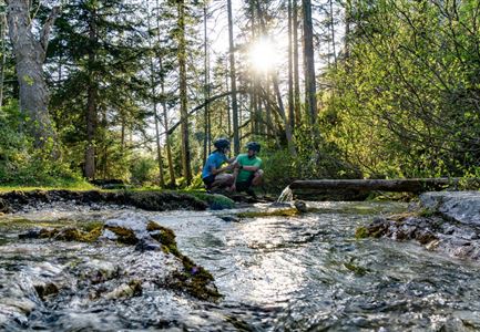
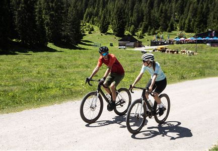
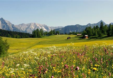
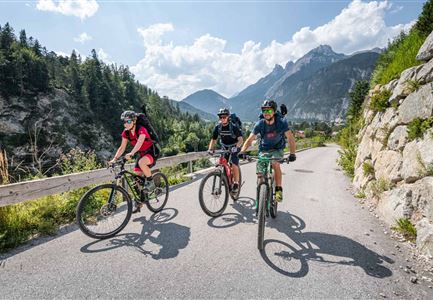
This tour, classified as difficult, requires skill and stamina. With 60 kilometers in length and 1,850 meters in altitude to overcome, it is one of the longest and most difficult stages. It leads you through the contrasting landscape of the Karwendel, which reveals the wide spectrum of the mountain world with rugged rocks, lush meadows and green forests.

After starting at the Scharnitz Nature Park Info Center, you first cycle about 500 m into the valley before turning left onto the forest road to the Karwendelhaus. You cycle through the Karwendel valley to the Karwendelhaus without any junctions. It is only a short climb to the Hochalmsattel. After a descent, you reach the Kleiner Ahornboden and now cycle on well-maintained forest roads through the Johannistal in the direction of Hinterriß. Once in the Rißtal, you cycle into the valley until you reach the turnoff for the Plumsjoch. Now you have to climb another 500 meters to the Plumsjochhütte. After the stop for refreshments, a technically difficult descent follows (single trail Plumsjoch or

Read More...

Features & Characteristics

Start Point

Scharnitz information centre (parking Länd P2)

End Point

Maurach at lake Achensee

Similar Tour Suggestions

Gravelbike Anstieg Asphaltstraße - Leutasch

Cycling

Bike-tour Wettersteinrunde

Length

77,80 km

Uphill

1754 hm

Altitude

1599 hm

Difficulty

Hard

Triendlweg-Bauernwald (c) Anna Rieder

Cycling

Biketour No. 535 Triendlweg-Bauernwald

Length

8,60 km

Uphill

217 hm

Altitude

1220 hm

Difficulty

Medium

Hochegg Alm

Cycling

Biketour No. 5027 Rosshütte

Length

5,50 km

Uphill

569 hm

Downhill

5 hm

Altitude

1751 hm

Difficulty

Hard

Gaistal-Seebensee (c) Anna Rieder

Cycling

Biketour Zugspitz-8

Length

104,00 km

Uphill

1687 hm

Altitude

1596 hm

Difficulty

Medium

Rauthhütte in Leutasch

Cycling

Bikeroute No. 5080 Rauthhütte

Length

2,60 km

Uphill

424 hm

Altitude

1601 hm

Difficulty

Hard

Wildmoosalm

Cycling

Biketour No. 5069 Seefeld-Wildmoos

Length

2,90 km

Uphill

91 hm

Altitude

1301 hm

Difficulty

Medium

Gaistal

Cycling

Biketour No. 551 Seebensee

Length

11,60 km

Uphill

410 hm

Downhill

30 hm

Altitude

1658 hm

Difficulty

Medium

Katzenkopf (c) Anna Rieder

Cycling

Biketour No. 541 Katzenkopf-Fluder

Length

8,50 km

Uphill

255 hm

Altitude

1370 hm

Difficulty

Hard