We use cookies for your personalized browsing experience, to personalize content and ads, to provide social media features, and to analyze traffic to our website. We also share information about your use of our website with our social media, advertising and analytics partners. Our partners may combine this information with other data that you have provided to them or that they have collected as part of your use of the Services. (incl. US providers)

Start Point

Leutasch Weidach

End Point

Leutasch Weidach

Difficulty

Medium

Total Distance

33,10 km

Descent Meters

377 m

Ascent Meters

377 m

Highest Point

1220 m

Map & Elevation Profile

Start Point

Leutasch Weidach

End Point

Leutasch Weidach

Difficulty

Medium

Total Distance

33,10 km

Descent Meters

377 m

Ascent Meters

377 m

Highest Point

1220 m

Cycling

Best Time

Jan

Feb

Mar

Apr

May

Jun

Jul

Aug

Sep

Oct

Nov

Dec

Cycling and mountain biking

Gravelbike tour

+2

Route: Achweg - Mittenwald - Scharnitz - Giessenbach - Neuleutasch - Weidach

Route description:

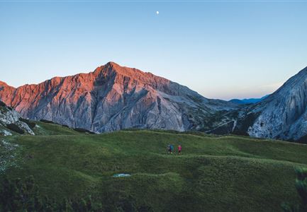
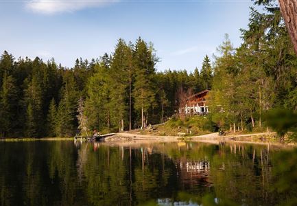
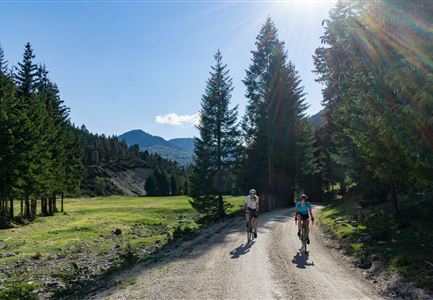
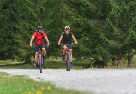
Extensive pleasure ride through scenic magnificent scenery

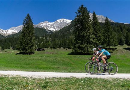
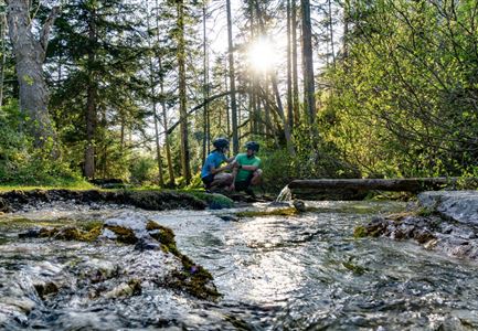
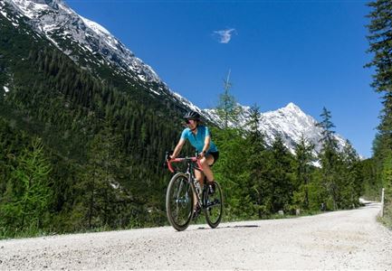
The Arnspitzrunde starts in Leutasch Weidach. From here, you take the Achweg trail, which runs gently downhill along the turquoise-blue Leutascher Ache river. On hot summer days, it always invites you to take a break on the banks. Gravel bikers can ride to the district of Burggraben either on the bike path along the Ache, there is a pleasure variant to the inn Brücke, where photo point / bar foot path and Tyrolean delicacies invite you to discover, or on fast asphalt on the road with little traffic through the Leutasch valley to Mittenwald (Germany). Then follow the turquoise-blue Isar River to Scharnitz (Austria). Here you cross the Isar twice and ride along beautiful gravel paths at the foot of the Arnspitzen to Gießenbach. From here, you head slightly uphill through the shady farmer's forest towards Seefeld before turning off towards Leutasch. In this section of the trail to Neuleutasch, a few meters of altitude await, but they are not too demanding and are soon done. From Neuleutasch you can look forward to rolling downhill again to Weidach, while the

Read More...

Similar Tour Suggestions

Reith-Wiesenwegrunde (c) Anna Rieder

Cycling

Biketour No. 5031 Reith-Wiesenweg

Length

4,50 km

Uphill

123 hm

Altitude

1123 hm

Difficulty

Medium

Gaistal-Seebensee (c) Anna Rieder

Cycling

Biketour Zugspitz-8

Length

104,00 km

Uphill

1687 hm

Altitude

1596 hm

Difficulty

Medium

Kapelle unterhalb vom Karwendelhaus - Scharnitz

Cycling

Bike Trail Tirol Etappe 07: Scharnitz-Achensee

Length

61,50 km

Uphill

1850 hm

Downhill

1880 hm

Altitude

1800 hm

Difficulty

Hard

KatzenkopfLeutasch - Blauer Trail

Cycling

Bikepark Katzenkopf - Kitty Twister Trail

Length

2,10 km

Downhill

220 hm

Altitude

1360 hm

Difficulty

Easy

Radfahrer_innen auf dem Weg von der Gaistalalm auf die Rotmoosalm im Gaistal bei Leutasch.jpg

Cycling

Biketour Gaistalalm alpine hut

Length

4,00 km

Uphill

136 hm

Downhill

30 hm

Altitude

1356 hm

Difficulty

Easy

Reitherjoch-Alm (c) Anna Rieder

Cycling

Biketour No. 5032 Reitherjoch Alm

Length

12,60 km

Uphill

385 hm

Altitude

1505 hm

Difficulty

Medium

Gravelbiken in der Region Seefeld (11).jpg

Cycling

Gravelbiketour Hinterautal

Length

53,40 km

Uphill

590 hm

Downhill

578 hm

Altitude

1220 hm

Difficulty

Easy

Bikepause an der Isarquelle.jpg

Hiking

Bike & Hike Halleranger house - Halleranger alm

Length

38,00 km

Duration

06:00 h

Uphill

832 hm

Altitude

1768 hm

Difficulty

Medium