Start Point

Katzenkopf Bergstation

End Point

Katzenkopf Talstation

Difficulty

Medium

Total Distance

2,10 km

Ascent Meters

229 m

Highest Point

1360 m

Map & Elevation Profile

Start Point

Katzenkopf Bergstation

End Point

Katzenkopf Talstation

Difficulty

Medium

Total Distance

2,10 km

Ascent Meters

229 m

Highest Point

1360 m

Cycling

Best Time

Jan

Feb

Mar

Apr

May

Jun

Jul

Aug

Sep

Oct

Nov

Dec

Cycling and mountain biking

Bikepark

The red trail is for the wildcats who like jumps and speed mixed with rough, natural passages: a mixture of jumpline, natural single trail and wood and stone elements. Leads advanced bikers varied and challenging from the mountain station to the valley station.

All info about the trail status here.

Features & Characteristics

Start Point

Katzenkopf Bergstation

End Point

Katzenkopf Talstation

Similar Tour Suggestions

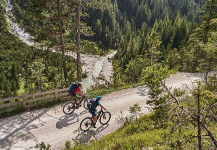
Radfahrer unterwegs im Gaistal mit Blick auf die Leutascher Ache

Cycling

Biketour No. 552 Gaistal-Hochfeldern Alm

Length

20,20 km

Duration

02:00 h

Uphill

539 hm

Downhill

536 hm

Altitude

1733 hm

Difficulty

Hard

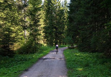
Katzenkopf (c) Anna Rieder

Cycling

Biketour No. 541 Katzenkopf-Fluder

Length

8,50 km

Duration

01:10 h

Uphill

259 hm

Altitude

1370 hm

Difficulty

Hard

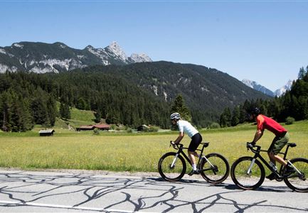
Gravelbiker auf der Strasse zwischen Seefeld und Leutasch -Abfahrt

Cycling

Bike-connection No. 5052 Seefeld-Leutasch

Length

15,00 km

Duration

00:45 h

Uphill

271 hm

Altitude

1221 hm

Difficulty

Medium

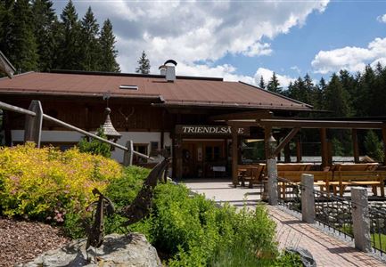
Triendlweg-Bauernwald Gasthaus Triendlsäge (c) Anna Rieder

Cycling

Biketour No. 535 Triendlweg-Bauernwald

Length

8,60 km

Duration

01:10 h

Uphill

217 hm

Altitude

1220 hm

Difficulty

Medium

Radfahrer bei der Auffahrt zur Rotmoosalm - Pause mit Blick auf die Berge

Cycling

Biketour Nr. 553 Gaistal-Rotmoosalm

Length

20,10 km

Duration

02:30 h

Uphill

838 hm

Downhill

834 hm

Altitude

2032 hm

Difficulty

Hard

Wanderer auf dem Predigtstuhl.jpg

Hiking

Bike & Hike Predigtstuhl Summit, 2,234 m

Length

19,00 km

Duration

04:30 h

Uphill

1015 hm

Altitude

2234 hm

Difficulty

Hard

Gravelbiker auf dem Radweg durch das Leutaschtal im Sommer

Cycling

Biketour No. 537 through the Leutasch valley

Length

32,46 km

Duration

01:10 h

Uphill

200 hm

Downhill

205 hm

Altitude

1236 hm

Difficulty

Easy

KatzenkopfLeutasch - Blauer Trail

Cycling

Bikepark Katzenkopf - Kitty Twister Trail

Length

2,10 km

Duration

00:15 h

Downhill

220 hm

Altitude

1360 hm

Difficulty

Easy