Start Point

Leutasch Weidach

End Point

Leutasch Weidach

Difficulty

Medium

Total Distance

14,80 km

Descent Meters

326 m

Ascent Meters

323 m

Highest Point

1370 m

Total Time

01:45 h

Map & Elevation Profile

Start Point

Leutasch Weidach

End Point

Leutasch Weidach

Difficulty

Medium

Total Distance

14,80 km

Descent Meters

326 m

Ascent Meters

323 m

Highest Point

1370 m

Total Time

01:45 h

Cycling

Best Time

Jan

Feb

Mar

Apr

May

Jun

Jul

Aug

Sep

Oct

Nov

Dec

Mountainbike tour

Loop tour

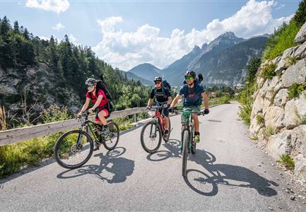
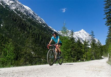
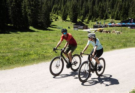
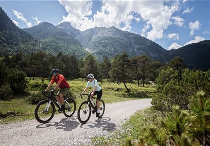
Bike tour to the idyllically situated Muggenmoosalm

The round tour starts in Weidach Leutasch - follow the road until you see the Hotel Quellenhof on the right hand side - from here turn left into the side street. Follow the road to the left until you reach the lake Weidachsee. Follow the gravel road to the left, past the lake, straight on until you reach the main road in Ostbach. Turn left again immediately before the road and continue along the gravel road until you reach the next junction - then turn right into the road. The gravel road continues for a few minutes - at the next junction turn right - here you reach the hut Muggenmoosalm, which invites you to take a break. From the Muggenmoosalm you return to Leutasch fortified. Then follow the signs to Wildmoos. On the way back you pass the aperiodic Wildmoos lake and the hut Ferienheim Wildmoos. Shortly before the Wildmoosalm, take the left turn towards Katzenkopf. At the clearing (ski slope) keep right downhill. Follow the gravel road to the asphalt road. Thenf ollow the road downhill into the village. Shortly after the Hotel Kristall, which is

Read More...

Features & Characteristics

Start Point

Leutasch Weidach

End Point

Leutasch Weidach

Loop tour

Yes

Similar Tour Suggestions

Gravelbiker in Scharnitz im Sommer

Cycling

Bike-connection No. 5051 Seefeld-Scharnitz

Length

25,30 km

Duration

01:15 h

Uphill

256 hm

Downhill

250 hm

Altitude

1195 hm

Difficulty

Medium

Wildmoosalm im Sommer - Hütte mit Kuh.jpg

Cycling

Gravelbiketour Wildmoos

Length

20,00 km

Duration

03:15 h

Uphill

450 hm

Altitude

1510 hm

Difficulty

Medium

Gravelbikerin fährt vom Gaistal Richtung Leutasch.jpg

Cycling

Bikeroute No. 5080 Rauthhütte

Length

5,00 km

Duration

01:20 h

Uphill

423 hm

Downhill

416 hm

Altitude

1601 hm

Difficulty

Hard

Gravelbike Asphaltstraße mit Bergpanorama - Leutasch

Cycling

Bike-tour Wettersteinrunde

Length

77,80 km

Duration

06:30 h

Uphill

1754 hm

Altitude

1599 hm

Difficulty

Hard

Gravelbiker auf der Gleirschhoehe im Hinterautal - Naturpark Karwendel

Cycling

Biketour No. 579 Gleirschtal-Möslalm

Length

22,60 km

Duration

02:30 h

Uphill

392 hm

Altitude

1272 hm

Difficulty

Medium

Verbindung-Seefeld-Reith Pfarrhügel (c) Anna Rieder

Cycling

Bike-connection No. 5030 Seefeld-Reith

Length

10,20 km

Duration

00:35 h

Uphill

120 hm

Downhill

115 hm

Altitude

1193 hm

Difficulty

Easy

Ebiken

Cycling

Biketour No. 588 Reith-Eigenhofen

Length

5,70 km

Duration

00:30 h

Uphill

6 hm

Downhill

528 hm

Altitude

1123 hm

Difficulty

Hard

Closed
Drohnenaufnahme Gschwandtkopf - Speichersee mit Bäumen und Hohe Munde bei Sonnenuntergang.jpg

Cycling

Biketour No. 545 Gschwandtkopf

Length

6,40 km

Duration

00:45 h

Uphill

267 hm

Downhill

263 hm

Altitude

1486 hm

Difficulty

Hard