Tourismusverband Seefeld
We use cookies for your personalized browsing experience, to personalize content and ads, to provide social media features, and to analyze traffic to our website. We also share information about your use of our website with our social media, advertising and analytics partners. Our partners may combine this information with other data that you have provided to them or that they have collected as part of your use of the Services. (incl. US providers)

Start Point

Information office Seefeld

End Point

Leutasch Weidach

Difficulty

Medium

Total Distance

15,00 km

Descent Meters

271 m

Ascent Meters

271 m

Highest Point

1221 m

Total Time

00:45 h

Map & Elevation Profile

Start Point

Information office Seefeld

End Point

Leutasch Weidach

Difficulty

Medium

Total Distance

15,00 km

Descent Meters

271 m

Ascent Meters

271 m

Highest Point

1221 m

Total Time

00:45 h

Cycling

Best Time

Jan

Feb

Mar

Apr

May

Jun

Jul

Aug

Sep

Oct

Nov

Dec

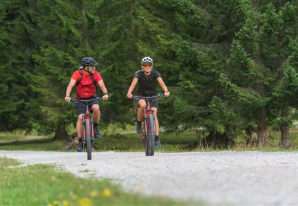
Mountainbike tour

Connecting route between Seefeld and Leutasch

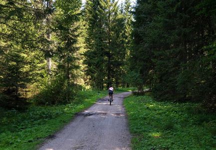
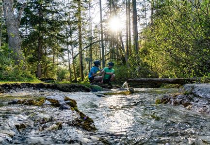
The 7.5 km long tour starts directly in front of the information office at Seefeld railway station. At the beginning, the route leads north to the ÖBB car parks, then left (west) past the Raiffeisenbank onto Olympiastraße. Continue straight ahead until you reach the crossroads and turn right into Leutascher Straße. Follow the main road to the end of Seefeld. After the drag lift "Birkenlift Seefeld" an asphalt road leads right into the forest - follow this road until you reach the Waldgasthaus Triendlsäge (Tip: On hot days you can cool off here at the Kneipp facility.) Turn left after the Waldgasthaus Triendlsäge and follow the gravel road until you reach the main road. Follow the main road past the inn Gasthof Neuleutasch. After about 2 kilometers on the main road, a gravel road leads you left again into the forest. Follow this gravel path until you reach the Kreithlift in Leutasch. Keep left and follow the asphalt road until you pass the Hotel Kristall after a few minutes. To get back to the starting point / parking lot, take the same way back.

Features & Characteristics

Start Point

Information office Seefeld

End Point

Leutasch Weidach

Similar Tour Suggestions

Radfahrerinnen bei herbstlichem Wetter auf dem Weg zur Gaistalalm (1).jpg

Cycling

Biketour Gaistalalm alpine hut

Length

4,00 km

Duration

00:30 h

Uphill

136 hm

Downhill

30 hm

Altitude

1356 hm

Difficulty

Easy

Reitherjoch-Alm (c) Anna Rieder

Cycling

Biketour No. 5032 Reitherjoch Alm

Length

12,60 km

Duration

02:00 h

Uphill

372 hm

Downhill

368 hm

Altitude

1495 hm

Difficulty

Medium

Gravelbiker auf der Gleirschhoehe im Hinterautal - Naturpark Karwendel

Cycling

Biketour No. 579 Gleirschtal-Möslalm

Length

22,60 km

Duration

02:30 h

Uphill

392 hm

Altitude

1272 hm

Difficulty

Medium

Drohnenaufnahme Gschwandtkopf - Speichersee mit Bäumen und Hohe Munde bei Sonnenuntergang.jpg

Cycling

Biketour No. 545 Gschwandtkopf

Length

6,40 km

Duration

00:45 h

Uphill

267 hm

Downhill

263 hm

Altitude

1486 hm

Difficulty

Hard

Katzenkopf (c) Anna Rieder

Cycling

Biketour No. 541 Katzenkopf-Fluder

Length

8,50 km

Duration

01:10 h

Uphill

259 hm

Altitude

1370 hm

Difficulty

Hard

Familie beim Radfahren - Leutasch

Cycling

Biketour family adventure trail

Length

8,70 km

Duration

00:45 h

Uphill

3 hm

Downhill

76 hm

Altitude

1205 hm

Difficulty

Easy

Ebiken

Cycling

Biketour No. 588 Reith-Eigenhofen

Length

5,70 km

Duration

00:30 h

Uphill

6 hm

Downhill

528 hm

Altitude

1123 hm

Difficulty

Hard

Closed
Triendlweg-Bauernwald Gasthaus Triendlsäge (c) Anna Rieder

Cycling

Biketour No. 535 Triendlweg-Bauernwald

Length

8,60 km

Duration

01:10 h

Uphill

217 hm

Altitude

1220 hm

Difficulty

Medium