Start Point

Seefeld Seekirchl

End Point

Seefeld Seekirchl

Difficulty

Medium

Total Distance

11,80 km

Descent Meters

334 m

Ascent Meters

330 m

Highest Point

1499 m

Total Time

02:30 h

Map & Elevation Profile

Start Point

Seefeld Seekirchl

End Point

Seefeld Seekirchl

Difficulty

Medium

Total Distance

11,80 km

Descent Meters

334 m

Ascent Meters

330 m

Highest Point

1499 m

Total Time

02:30 h

Running

Best Time

Jan

Feb

Mar

Apr

May

Jun

Jul

Aug

Sep

Oct

Nov

Dec

Trailrunning

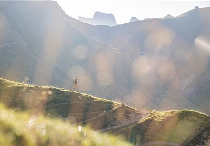
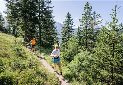
This moderately challenging trail run route begins at Seefeld Seekirchl and winds its way through the Kirchwald. The climb is gentle at first, but soon it steepens briefly to present your first challenge.

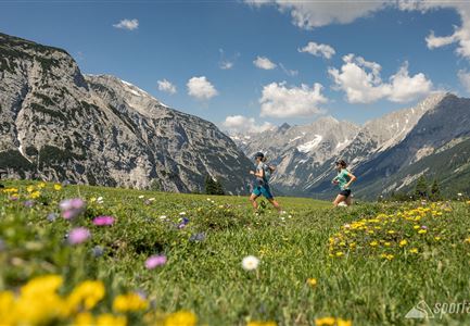
From there, you head towards Wildmoosalm, passing the open fields of the Wildmoos. Enjoy a lovely view of the Hohe Munde along the way. The trail remains varied with short climbs and flatter stretches.

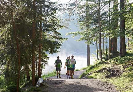
Before reaching the Brunschkopf viewpoint, the path gets steeper once again. But the effort is well worth it: at the top, you'll be rewarded with sweeping views over Seefeld and the surrounding mountain ranges. The route then continues over gently rolling terrain to Möserer See, an idyllic natural swimming lake that's perfect for a short break.

A brief detour along the Broch-Weg leads you to the Friedensglocke. From this vantage point, you can admire views over the Inntal before heading back to Seefeld via Mösern.

Overall, it's a varied route with challenging sections and impressive panoramas. The indicated running time is approximate and depends on your personal fitness.

The indicated running time is just a guideline and depends on your

Read More...

Features & Characteristics

Start Point

Seefeld Seekirchl

End Point

Seefeld Seekirchl

Similar Tour Suggestions

Lärchenwald bei Reith_Wald mit Sonnenstern.jpg

Running

Around the Gschwandtkopf Trailrun Route

Length

10,30 km

Duration

02:00 h

Uphill

343 hm

Downhill

332 hm

Altitude

1334 hm

Difficulty

Easy

Schöne Aussicht vom Zäunlkopf.jpg

Running

Trail Run Loop to Oberbrunnalm via Zäunlkopf

Length

12,40 km

Duration

06:00 h

Uphill

880 hm

Altitude

1740 hm

Difficulty

Medium

Drohnenaufnahme Gaistal im Sommer - Sonnenaufgang Predigtstuhl - Blick Richtung Gehrenspitze.jpg

Running

Wetterstein Trail Run Loop

Length

25,00 km

Duration

10:30 h

Uphill

1490 hm

Altitude

2230 hm

Difficulty

Hard

Trailrunning auf der Seefelder Spitze - Läufer mit Blick auf das Plateau im Hintergrund.jpg

Running

Trail Run Loop via Nördlinger Hütte & Eppzirler Alm to Seefeld

Length

25,80 km

Duration

10:00 h

Uphill

1320 hm

Altitude

2243 hm

Difficulty

Hard

Trailrunning in der Region Seefeld - Läuferin auf dem Südwandsteig bergab.jpg

Running

Gaistal-Rotmoosalm Trail Run Loop

Length

15,00 km

Duration

06:30 h

Uphill

970 hm

Altitude

2133 hm

Difficulty

Medium

Karwendelmarsch Trainingscamp (5) (2).jpg

Running

Karwendel Run 52 km (Karwendelmarsch)

Length

52,00 km

Duration

06:00 h

Uphill

2158 hm

Downhill

2192 hm

Altitude

1900 hm

Difficulty

Hard

Trailrunning in der Region Seefeld - Läuferinnen auf Trail im Wald - Gaistal.jpg

Running

Steckenweg Trailrun-Route

Length

13,00 km

Duration

04:30 h

Uphill

480 hm

Altitude

1550 hm

Difficulty

Easy

Nordic Summer Camp 2021 - Laeufer bei Laufrunde um den Moeserer See.jpg

Running

Trail Run Loop Möserer See

Length

9,20 km

Duration

02:00 h

Uphill

320 hm

Altitude

1500 hm

Difficulty

Easy