Tourismusverband Seefeld
We use cookies for your personalized browsing experience, to personalize content and ads, to provide social media features, and to analyze traffic to our website. We also share information about your use of our website with our social media, advertising and analytics partners. Our partners may combine this information with other data that you have provided to them or that they have collected as part of your use of the Services. (incl. US providers)

Start Point

Seefeld Railway Station

End Point

Seefeld Railway Station

Difficulty

Hard

Total Distance

25,80 km

Descent Meters

1320 m

Ascent Meters

1320 m

Highest Point

2243 m

Total Time

10:00 h

Map & Elevation Profile

Start Point

Seefeld Railway Station

End Point

Seefeld Railway Station

Difficulty

Hard

Total Distance

25,80 km

Descent Meters

1320 m

Ascent Meters

1320 m

Highest Point

2243 m

Total Time

10:00 h

Running

Best Time

Jan

Feb

Mar

Apr

May

Jun

Jul

Aug

Sep

Oct

Nov

Dec

Trailrunning

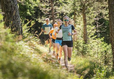
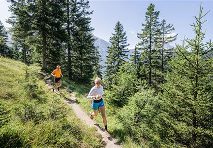
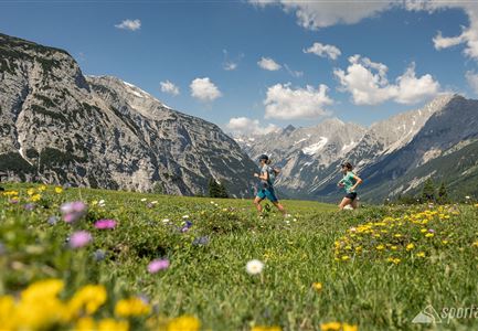
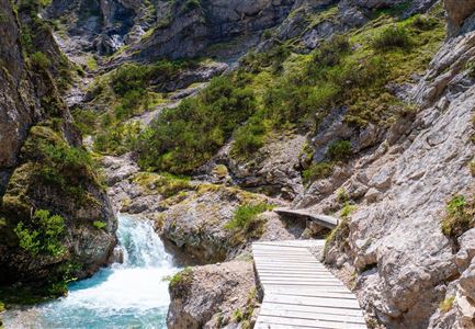
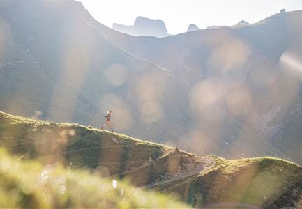
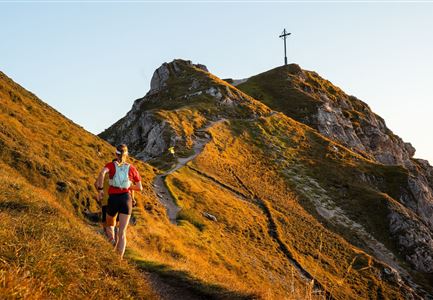
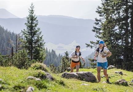
This highly challenging trail run requires alpine experience and surefootedness. It starts at Seefeld train station.

The route first leads through the village, past the Wildsee, and towards Auland, where the road is passed underneath. From there, a hiking trail climbs up to the Reitherjochalm. The path then continues partly along the ski slope and partly on trails to the top station of the Härmelekopfbahn.

From here, trails lead to the Nördlinger Hütte (note: do not take the route over the Reither Spitze). A very steep descent follows to the Ursprungssattel before the trail continues towards the Eppzirler Alm. However, the route does not lead directly to the hut, as it runs above the forest road out of the valley. A stop at the Alm is possible.

The trail then follows the forest road down to Gießenbach, where it joins the Hirnweg leading back to Seefeld. Alternatively, the train can be taken from Gießenbach for the return journey.

Features & Characteristics

Start Point

Seefeld Railway Station

End Point

Seefeld Railway Station

Similar Tour Suggestions

Trailrunning in der Region Seefeld - Läuferinnen auf Trail im Wald - Gaistal.jpg

Running

Steckenweg Trailrun-Route

Length

13,00 km

Duration

04:30 h

Uphill

480 hm

Altitude

1550 hm

Difficulty

Easy

Nordic Summer Camp 2021 - Laeufer bei Laufrunde um den Moeserer See.jpg

Running

Trail Run Loop Möserer See

Length

9,20 km

Duration

02:00 h

Uphill

320 hm

Altitude

1500 hm

Difficulty

Easy

Gschwandtkopf Speichersee - Trailrunner in der Distanz läuft entlang des Sees bei Sonnenaufgangsstimmung.jpg

Running

Gschwandtkopf Trailrun Route

Length

9,80 km

Duration

03:30 h

Uphill

430 hm

Altitude

1486 hm

Difficulty

Easy

Trailrunning in der Region Seefeld - Läuferinnen auf Trail bergauf - Leutasch.jpg

Running

Gaistal Trailrun loop to Hämmermoosalm, Wettersteinhütte, and Wangalm

Length

10,30 km

Duration

04:00 h

Uphill

520 hm

Altitude

1721 hm

Difficulty

Easy

Karwendelmarsch Trainingscamp (5) (2).jpg

Running

Karwendel Run 52 km (Karwendelmarsch)

Length

52,00 km

Duration

06:00 h

Uphill

2158 hm

Downhill

2192 hm

Altitude

1900 hm

Difficulty

Hard

Schöne Aussicht vom Zäunlkopf.jpg

Running

Trail Run Loop to Oberbrunnalm via Zäunlkopf

Length

12,40 km

Duration

06:00 h

Uphill

880 hm

Altitude

1740 hm

Difficulty

Medium

Gehrenspitze und Gipfelkreuz beim Sonnenaufgang - Panoramaaufnahme.jpg

Running

Gehrenspitze Trailrun Route

Length

25,40 km

Duration

04:00 h

Uphill

1410 hm

Downhill

1430 hm

Altitude

2317 hm

Difficulty

Hard

Trailrunning in der Region Seefeld - Gruppe auf Trail im Wald.jpg

Running

Trail Run Loop Alter Möserer Weg

Length

8,00 km

Duration

03:00 h

Uphill

470 hm

Altitude

1230 hm

Difficulty

Easy