We use cookies for your personalized browsing experience, to personalize content and ads, to provide social media features, and to analyze traffic to our website. We also share information about your use of our website with our social media, advertising and analytics partners. Our partners may combine this information with other data that you have provided to them or that they have collected as part of your use of the Services. (incl. US providers)

Start Point

Naturpark Info Center Scharnitz (P2)

End Point

Naturpark Info Center Scharnitz (P2)

Difficulty

Easy

Total Distance

4,60 km

Descent Meters

175 m

Ascent Meters

175 m

Highest Point

1130 m

Total Time

01:30 h

Map & Elevation Profile

Start Point

Naturpark Info Center Scharnitz (P2)

End Point

Naturpark Info Center Scharnitz (P2)

Difficulty

Easy

Total Distance

4,60 km

Descent Meters

175 m

Ascent Meters

175 m

Highest Point

1130 m

Total Time

01:30 h

Hiking

Best Time

Jan

Feb

Mar

Apr

May

Jun

Jul

Aug

Sep

Oct

Nov

Dec

Hiking tour

Loop tour

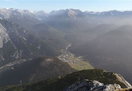
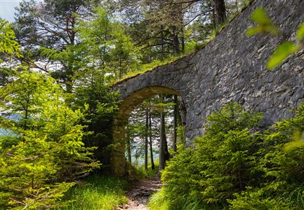
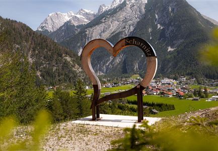
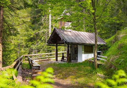
Your hike starts at the Nature Park Information Center in Scharnitz, where you set off on your adventure. From here, follow the Hinterautalstraße into the valley, climbing gently over a small hill. Continue straight until you reach a bridge, which takes you across the Isar. After the bridge, turn left towards the Karwendel Valley. About 50 meters later, turn right onto a forest road, which leads you further into the woods. After a while, you’ll reach a junction where you turn left to find the peaceful Birzlkapelle, a charming little chapel nestled in the forest – a perfect spot for a short break.

For the way back, you have two options:
If you prefer an easy return, simply follow the same path back to Scharnitz.

For a bit more adventure, take the narrow and partly steep trail. This path continues straight past the chapel and leads through the forest until you reach a viewpoint with a bench. Here, turn sharply right and descend steeply through several switchbacks. At the first junction, turn right again and follow the so-called Plattsteig through the forest back towards Scharnitz. As you approach the first houses, keep left and follow the Inrainstraße,

Read More...

Similar Tour Suggestions

Wanderer auf der Seefelder Spitze ueber Seefeld

Hiking

Bike & Hike Seefelder Spitze Summit, 2,220 m

Length

13,00 km

Duration

04:30 h

Uphill

1094 hm

Downhill

799 hm

Altitude

2220 hm

Difficulty

Hard

Ahrn Hochfluder Weidach.jpg

Hiking

Hike Hoher Sattel

Length

10,60 km

Duration

04:00 h

Uphill

524 hm

Altitude

1620 hm

Difficulty

Medium

Wanderer auf dem Weg vom Seefelder Joch zur Seefelder Spitze - Gipfelkreuz der Spitze im Blick.jpg

Hiking

"Königstour" The royal's hiking tour

Length

4,40 km

Duration

03:00 h

Uphill

502 hm

Downhill

464 hm

Altitude

2364 hm

Difficulty

Hard

Wanderung über der Karwendelschlucht - Scharnitz.jpg

Hiking

Circular hiking trail Karwendelschlucht/Karwendelsteg

Length

7,40 km

Duration

03:00 h

Uphill

266 hm

Altitude

1143 hm

Difficulty

Medium

Hallerangeralm

Hiking

Bike & Hike Sunntigerspitze Summit, 2,321 m

Length

42,00 km

Duration

09:00 h

Uphill

1396 hm

Altitude

2321 hm

Difficulty

Medium

Wandern zum Gasthof Brücke

Hiking

Tour of lawn "toler"

Length

4,20 km

Duration

00:45 h

Uphill

13 hm

Altitude

1072 hm

Difficulty

Easy

Ausblick von der Arnplattenspitze auf die Gehrenspitze, Hohe Munde

Hiking

Circular hike Arnplattenspitze, 2,171 m

Length

8,60 km

Duration

07:00 h

Uphill

1106 hm

Altitude

2171 hm

Difficulty

Hard

Partially open
Bodenalm Stall mit Brunnen

Hiking

Circular hiking traill to the Bodenalm alpine hut

Length

8,40 km

Duration

02:30 h

Uphill

180 hm

Altitude

1198 hm

Difficulty

Easy