We use cookies for your personalized browsing experience, to personalize content and ads, to provide social media features, and to analyze traffic to our website. We also share information about your use of our website with our social media, advertising and analytics partners. Our partners may combine this information with other data that you have provided to them or that they have collected as part of your use of the Services. (incl. US providers)

Start Point

Seefeld Railway Station

End Point

Seefeld Railway Station

Difficulty

Easy

Total Distance

13,92 km

Descent Meters

247 m

Ascent Meters

246 m

Highest Point

1345 m

Total Time

04:15 h

Status

Open

Map & Elevation Profile

Start Point

Seefeld Railway Station

End Point

Seefeld Railway Station

Difficulty

Easy

Total Distance

13,92 km

Descent Meters

247 m

Ascent Meters

246 m

Highest Point

1345 m

Total Time

04:15 h

Status

Open

Hiking

Best Time

Open

Jan

Feb

Mar

Apr

May

Jun

Jul

Aug

Sep

Oct

Nov

Dec

Winter walking

Multiday hike

+1

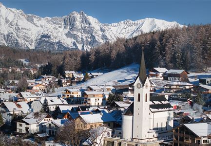
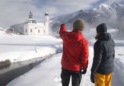
Möserer See, the Peace Bell of the Alps, and the small church, the Seekirchl - this section is packed with must-sees. A more than worthy conclusion to the Seefeld High Plateau Winter Multi-day Hike.

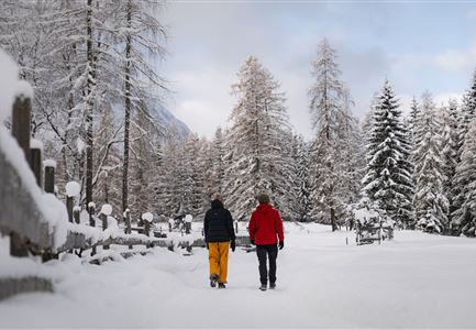
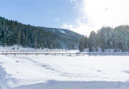
The fifth and final section of the winter multi-day hiking programme is full of regional highlights that you simply must see. First, you'll walk from Seefeld to Mösern. Starting from the train station and village square, walk through Klosterstraße and past the Hotel Hocheder to the end of the pedestrian zone. Passing by the small church, the Seekirchl, continue on the wooden walkway to the WM Halle and then follow path no. 2 to Mösern. On arriving, follow Albrecht-Dürer-Weg to the Möserer Seeweg intersection, which leads to the lake, Möserer See — a major highlight of the region and a real visual treat, especially in winter. From there – you have the option to walk around the lake - follow the signs towards Mösern - Peace Bell.

In just a few hundred metres, you'll reach one of the region's major landmarks. The Peace Bell weighs over 10 tons and is the largest free-standing

Read More...

Features & Characteristics

Start Point

Seefeld Railway Station

End Point

Seefeld Railway Station

Multiday hike

Yes

Loop tour

Yes

Similar Tour Suggestions

Gaistalalm im Winter - Drohnennahaufnahme von der Seite mit Wettersteingebirge (2).jpg

Hiking

W12: Winter hike to the Gaistalalm

Length

8,20 km

Duration

02:30 h

Uphill

182 hm

Altitude

1366 hm

Difficulty

Easy

Open
Winterwandern Paar Möserer See Paar läuft durch Wald Aufnahme von hinten (2).jpg

Hiking

W3: Winter Circular Hike Seefeld-Mösern-Seefeld

Length

7,80 km

Duration

02:30 h

Uphill

183 hm

Downhill

179 hm

Altitude

1374 hm

Difficulty

Medium

Open
Triendlsäge im Winter - Gebäude mit Pferdekutsche.jpg

Hiking

W4: Winter Circular Hike Seefeld - Triendlsäge

Length

7,50 km

Duration

02:15 h

Uphill

147 hm

Altitude

1198 hm

Difficulty

Easy

Open
Winterwandern im Schnee (1) (3).jpg

Hiking

W21: Winter circular hike Fludertal - Katzenkopf

Length

8,02 km

Duration

02:45 h

Uphill

261 hm

Altitude

1369 hm

Difficulty

Medium

Open
Winterwandern Paar Möserer See Paar steht auf Steg Seitenperspektive.jpg

Hiking

W27: Winter circular hike Möserer See

Length

3,50 km

Duration

01:15 h

Uphill

96 hm

Downhill

100 hm

Altitude

1297 hm

Difficulty

Easy

Open
Haemmermoosalm im Winter.jpg

Hiking

W11: Winter hike to the Hämmermoosalm

Length

4,00 km

Duration

02:00 h

Uphill

173 hm

Downhill

171 hm

Altitude

1410 hm

Difficulty

Easy

Open
Luftaufnahme Wildsee im Winter - Seefeld.jpg

Hiking

W5: Winter Circuite around the Wildsee lake

Length

4,70 km

Duration

01:15 h

Uphill

22 hm

Altitude

1181 hm

Difficulty

Easy

Open
Drohnenaufnahme Reith im Winter - Kirche reingezoomt mit Wettersteingebirge im Hintergrund.jpg

Hiking

W34: Winter circular hike "culture path" Reith

Length

4,50 km

Duration

01:30 h

Uphill

116 hm

Downhill

117 hm

Altitude

1128 hm

Difficulty

Easy

Open