Start Point

Parkplatz P2 'Stupfer' im Gaistal

End Point

Parkplatz P2 'Stupfer' im Gaistal

Difficulty

Hard

Total Distance

3,90 km

Ascent Meters

550 m

Total Time

01:30 h

Status

Closed

Map & Elevation Profile

Start Point

Parkplatz P2 'Stupfer' im Gaistal

End Point

Parkplatz P2 'Stupfer' im Gaistal

Difficulty

Hard

Total Distance

3,90 km

Ascent Meters

550 m

Total Time

01:30 h

Status

Closed

Sledding

Best Time

Closed

Jan

Feb

Mar

Apr

May

Jun

Jul

Aug

Sep

Oct

Nov

Dec

Tobogganing

Type: Naturrodelbahn

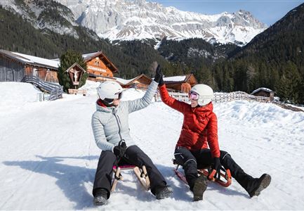
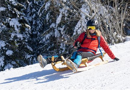
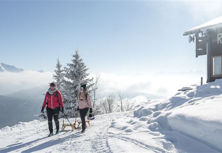
The Wettersteinhütte tobogganing track is accessible directly from the P2 Stupfer parking lot in the Gaistal via a cleared winter hiking trail. The ascent, which is well signposted, leads northward from the parking lot with a steady incline, passing just below the Wangalm. After navigating a slightly more challenging valley section, crossing a bridge to the left, and continuing diagonally uphill, you’ll reach the Wettersteinhütte at an altitude of 1,717 meters.

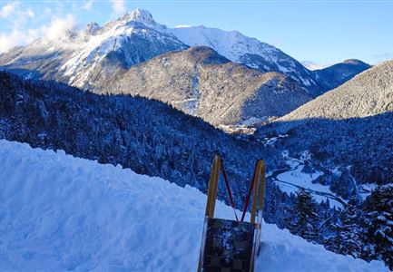
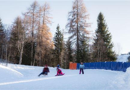
The ascent, which covers a considerable elevation gain of 577 meters and takes about 100 minutes, is challenging in parts but is rewarded at the top with an unparalleled panorama stretching across the Seefeld Plateau to the imposing "Grand Dame of the Alps," the Hohe Munde, standing at 2,662 meters. The grand finale: a curvy, three-kilometer descent through the picturesque Wetterstein winter wonderland. At the sunny mountain hut, Beate and Hans welcome hungry hikers and tobogganers with hearty Tyrolean dishes and other delicious fare. By prior arrangement, the hut also serves outstanding spare ribs in the evening.

Key facts about the tobogganing track:
• Length: approx. 3 kilometers
• Elevation gain: 577 m
• Lift assistance: none
• Lighting: none

Important notes:
The natural tobogganing

Read More...

Features & Characteristics

Start Point

Parkplatz P2 'Stupfer' im Gaistal

End Point

Parkplatz P2 'Stupfer' im Gaistal

Type

Naturrodelbahn

Similar Tour Suggestions

Rodeln in der Region Seefeld - Vater mit Sohn - High Five.jpg

Sledding

Toboggan run Katzenkopfhütte

Length

2,50 km

Duration

01:00 h

Downhill

200 hm

Difficulty

Medium

Closed
Aufstieg zur Rauthhuette mit Rodel - Leutasch (4).jpg

Sledding

Toboggan run Rauthhütte

Length

2,50 km

Duration

01:30 h

Downhill

425 hm

Difficulty

Hard

Closed
Nahaufnahme Rodeln Katzenkopf - Leutasch.jpg

Sledding

Toboggan run Hoher Sattel

Length

2,70 km

Duration

01:30 h

Downhill

350 hm

Difficulty

Hard

Closed
Rodelbahn Kreidegraben - Ausblick.jpg

Sledding

Toboggan run Kreidegraben Scharnitz

Length

1,20 km

Duration

01:00 h

Downhill

134 hm

Difficulty

Medium

Closed
Rodelhügel Seefeld_Familie fährt den Hügel hinab.jpg

Sledding

Toboggan hill Seefeld

Length

118 m

Downhill

10 hm

Difficulty

Easy

Closed
Muehlberg in Scharnitz

Sledding

Toboggan run Mühlberg

Length

3,10 km

Duration

01:30 h

Downhill

340 hm

Difficulty

Medium

Closed
Rodeln im Gaistal_zwei Frauen schlagen ein vor der Abfahrt bei der Hämmermoosalm (1).jpg

Sledding

Toboggan run Hämmermoos

Length

2,00 km

Duration

00:45 h

Downhill

220 hm

Difficulty

Medium

Closed