Start Point
Naturpark Info Center Scharnitz (P2)
End Point
Naturpark Info Center Scharnitz (P2)
Difficulty
Easy
Total Distance
12,40 km
Descent Meters
445 m
Ascent Meters
445 m
Highest Point
1250 m
Total Time
04:00 h
Running
Best Time
Jan
Feb
Mar
Apr
May
Jun
Jul
Aug
Sep
Oct
Nov
Dec
Trailrunning
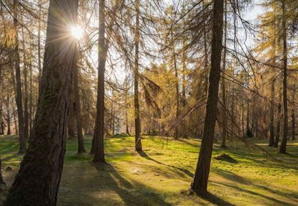
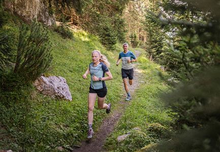
Starting at the Nature Park Information Center in Scharnitz, the route begins with a short paved section before entering the forest. The trail follows the Isarsteig towards Scharnitzer Alm, then turns right into the woods just before reaching the alm.
A short, steep climb leads to a gently ascending natural trail into the Karwendel Valley, running above the Isar. The route then descends into the Gleierschklamm, where a technically demanding trail awaits.
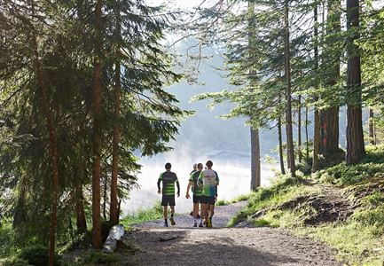
From there, the trail follows the Isar back towards Scharnitzer Alm, near which a Kneipp facility offers a perfect refreshment stop. The return follows the same path back to the starting point.
The indicated running time is just a guideline and depends on your personal fitness level.
Stamina
Technique
Start Point
Naturpark Info Center Scharnitz (P2)
End Point
Naturpark Info Center Scharnitz (P2)
Similar Tour Suggestions