Start Point

Seefeld Seekirchl

End Point

Seefeld Seekirchl

Difficulty

Easy

Total Distance

3,10 km

Descent Meters

10 m

Ascent Meters

10 m

Highest Point

1197 m

Total Time

01:00 h

Status

Open

Map & Elevation Profile

Start Point

Seefeld Seekirchl

End Point

Seefeld Seekirchl

Difficulty

Easy

Total Distance

3,10 km

Descent Meters

10 m

Ascent Meters

10 m

Highest Point

1197 m

Total Time

01:00 h

Status

Open

Hiking

Best Time

Open

Jan

Feb

Mar

Apr

May

Jun

Jul

Aug

Sep

Oct

Nov

Dec

Winter walking

Family-friendly

+2

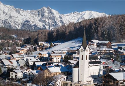
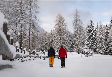
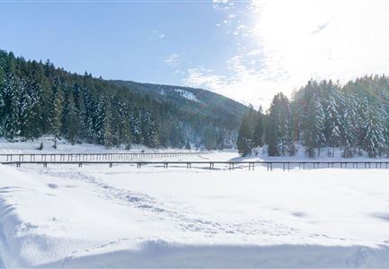
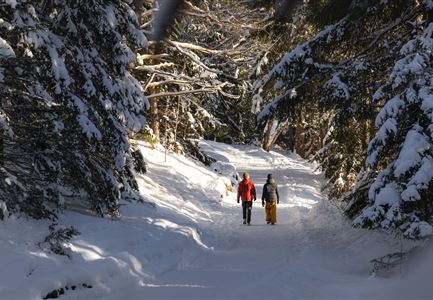
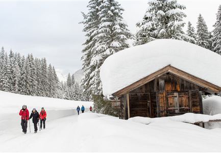
This idyllic little loop through the Möserer Valley takes you through snowy winter landscapes and past the Seefeld Sports Arena, with no significant inclines.

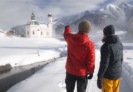
Starting at the Seekirchl, follow the path to the main road, then continue to the tennis hall, where trail no. 2 leads through the snow-covered Kirchwald. Along the way, you’ll cross a cross-country skiing trail—please give priority to skiers. Right after crossing the trail, the path leads back to the main road, which you’ll cross to reach the Seewald on the other side of the valley.

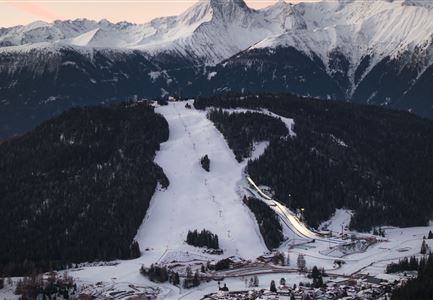
Follow trail no. 4, which curves to the left, passing the ski jumps and competition facilities of the Seefeld Sports Arena, until you reach the Sportalm at the foot of the Gschwandtkopf. A short detour to the viewing platform at the WSC-Tower is worth it—here, a high-quality Swarovski binocular brings the glittering mountain landscapes almost within reach.

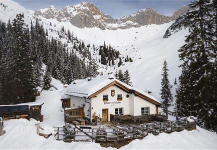
At the cozy Sportalm, it's a good idea to take a break on the sunny terrace with a seasonal hot drink, freshly tapped refreshments, and views of the surrounding

Read More...

Features & Characteristics

Start Point

Seefeld Seekirchl

End Point

Seefeld Seekirchl

Family-friendly

Yes

Stroller-friendly

Yes

Loop tour

Yes

Similar Tour Suggestions

Drohnenaufnahme Reith im Winter - Kirche reingezoomt mit Wettersteingebirge im Hintergrund.jpg

Hiking

W34: Winter circular hike "culture path" Reith

Length

4,50 km

Duration

01:30 h

Uphill

116 hm

Downhill

117 hm

Altitude

1128 hm

Difficulty

Easy

Open
Winterwandern Paar Oberer Wiesenweg Aufnahme von Paar von Hinten laufen neben Zaun (1).jpg

Hiking

Stage 4: From Wettersteinhütte to Leutasch – Tyrol’s 1. Winter Multi-day Hike

Length

9,50 km

Duration

03:30 h

Uphill

25 hm

Altitude

1717 hm

Difficulty

Medium

Open
Winterwandern Paar Seefeld Möserer Tal Mann zeigt auf Seekirchel.jpg

Hiking

Stage 1: From Seefeld via Reith to Leithen - Seefeld High Plateau Winter Multi-day Hike

Length

16,70 km

Duration

05:00 h

Uphill

266 hm

Downhill

267 hm

Difficulty

Easy

Open
Weidachsee im Winter

Hiking

W9: Winter circular hike around Weidachsee lake

Length

3,80 km

Duration

01:00 h

Uphill

46 hm

Altitude

1156 hm

Difficulty

Easy

Open
Drohnenaufnahme Wettersteinhütte - Nahaufnahme mit Blick ins Wettersteingebirge (1).jpg

Hiking

Stage 3: From Mösern to Wettersteinhütte – Tyrol’s 1. Winter Multi-day Hike

Length

14,00 km

Duration

06:00 h

Uphill

718 hm

Altitude

1719 hm

Difficulty

Medium

Open
Winterwandern Paar Möserer See Paar läuft durch Wald Aufnahme von hinten (2).jpg

Hiking

W3: Winter Circular Hike Seefeld-Mösern-Seefeld

Length

7,80 km

Duration

02:30 h

Uphill

183 hm

Downhill

179 hm

Altitude

1374 hm

Difficulty

Medium

Open
Drohnenbild Gschwandtkopf und Schanze bei Sonneaufgang.jpg

Hiking

W2: Winter Circular Hike around the mountain Gschwandtkopf

Length

10,50 km

Duration

03:30 h

Uphill

226 hm

Downhill

222 hm

Altitude

1342 hm

Difficulty

Medium

Open
Weitwandern Etappe 2 Teilnehmer am Weg bei Huette

Hiking

Stage 2: From Leutasch to Mösern – Tyrol’s 1. Winter Multi-day Hike

Length

16,00 km

Duration

05:00 h

Uphill

402 hm

Downhill

324 hm

Altitude

1393 hm

Difficulty

Medium

Open