Start Point

Citizen and Tourism Service Reith

End Point

Citizen and Tourism Service Reith

Difficulty

Easy

Total Distance

4,60 km

Descent Meters

105 m

Ascent Meters

105 m

Highest Point

1128 m

Total Time

01:30 h

Map & Elevation Profile

Start Point

Citizen and Tourism Service Reith

End Point

Citizen and Tourism Service Reith

Difficulty

Easy

Total Distance

4,60 km

Descent Meters

105 m

Ascent Meters

105 m

Highest Point

1128 m

Total Time

01:30 h

Running

Best Time

Jan

Feb

Mar

Apr

May

Jun

Jul

Aug

Sep

Oct

Nov

Dec

Winter-trailrunning

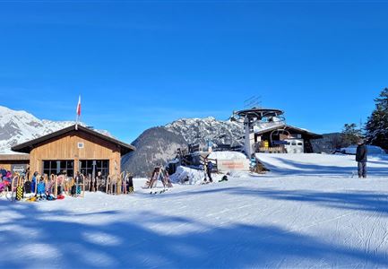
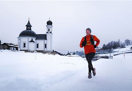
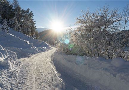
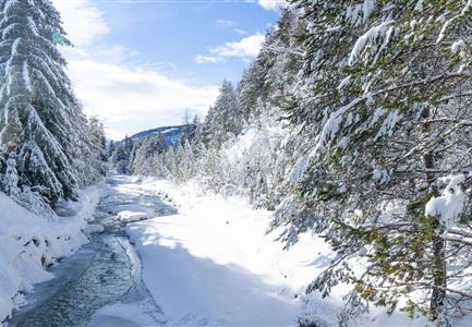
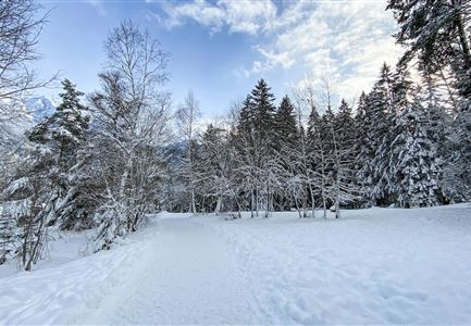
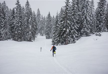
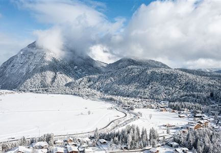
This varied route takes you through village paths, past snowy meadows and fields, and ends with a short but challenging climb. Even in winter, the trail remains easy to run and offers scenic views of the winter landscape in the Inntal valley.

The run starts at the Reith information office. From there, turn right onto Römerstraße, which winds through the village. The route passes houses and gardens, leading gently to the village outskirts. Just before the underpass, the Kalktalweg branches off to the left.

Here, the surroundings become quieter. The asphalt transitions into a gravel path, which is usually well-trodden in winter. To the right, the railway line runs parallel to the path, and with a bit of luck, you might see a train passing by. After a while, you reach the small Leithen train stop. From there, go through the underpass, then downhill on Kobesbichlweg to the main road.

After crossing the road, the landscape opens up, and the Leithen Meadow Path leads through a vast winter wonderland. The path widens but remains easy to run on, following the main road back toward Reith.

The final stretch is the toughest: at the turnoff to Niederwiesenweg, the trail climbs steeply to

Read More...

Similar Tour Suggestions

Katzenkopfhütte im Winter (1).jpg

Running

Wintertrail - Leutasch Katzenkopf

Length

10,60 km

Uphill

280 hm

Altitude

1370 hm

Difficulty

Medium

Winter-Trailrunning in der Region Seefeld_Trailrunner läuft auf Weg beim Seekirchl.jpg

Running

Winter Village Running Loop Seefeld

Length

4,90 km

Duration

01:00 h

Uphill

22 hm

Altitude

1207 hm

Difficulty

Easy

Wanderweg Reith-Seefeld im Winter.jpg

Running

Wintertrail - Seefeld to Reith through the Hölltal

Length

12,70 km

Uphill

280 hm

Altitude

1303 hm

Difficulty

Medium

Schneespaziergang Leutasch-2.jpg

Running

Wintertrail - Leutascher Ache (Kirchplatzl)

Length

3,10 km

Uphill

20 hm

Altitude

1147 hm

Difficulty

Easy

Wildseepromenade Winter - Seefeld (1).jpg

Running

Wintertrail - Seefeld Reitherjochalm

Length

14,80 km

Uphill

373 hm

Altitude

1502 hm

Difficulty

Easy

Wintertrailrunning in der Region Seefeld (abseits der Wege) - Läufer läuft alleine in den Wald in traumhafter Winterlandschaft.jpg

Running

Winterexpedition - brunschkopf viewing platform

Length

11,10 km

Uphill

330 hm

Altitude

1499 hm

Difficulty

Hard

06.12.2021 - Neuschnee in Leutasch-Weidach mit Blick Richtung Ahrnspitzen.jpg

Running

Wintertrail - Leutascher Ache (Ahrn)

Length

4,60 km

Uphill

30 hm

Altitude

1125 hm

Difficulty

Easy

Wettersteinhütte - Schitour, Winterwandern und Rod

Running

Wintertrail - Leutasch Wettersteinhütte

Length

19,00 km

Uphill

633 hm

Altitude

1717 hm

Difficulty

Hard