Start Point

Mösern Seewaldalm Parkplatz

End Point

Möserer See

Difficulty

Medium

Total Distance

2,50 km

Descent Meters

96 m

Highest Point

1323 m

Status

Closed

Map & Elevation Profile

Start Point

Mösern Seewaldalm Parkplatz

End Point

Möserer See

Difficulty

Medium

Total Distance

2,50 km

Descent Meters

96 m

Highest Point

1323 m

Status

Closed

Cross-country Skiing

Best Time

Closed

Jan

Feb

Mar

Apr

May

Jun

Jul

Aug

Sep

Oct

Nov

Dec

Ski-nordic

Ski-nordic-classic

+3

Access to the ski track:

Seewaldalm

Connected tracks:

B1 | B13

An overview of the entire cross-country skiing network (incl. trail status) and helpful cross-country skiing information (ticket machines, waxing and service points, changing facilities, ...) can be found in the cross-country skiing report.

Track characteristics:

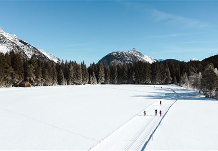
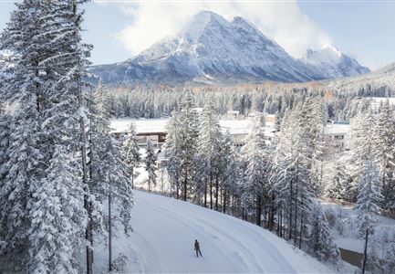
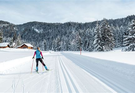
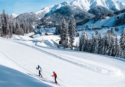
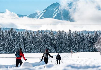
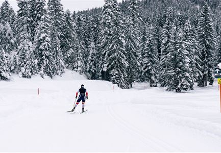
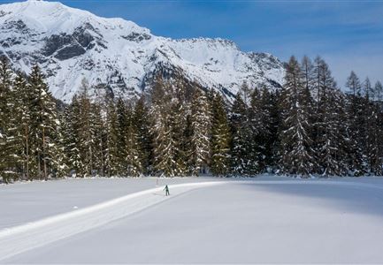
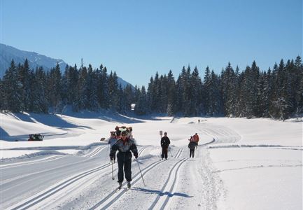
The B10 cross-country ski track leads through the woods of Möser to the beautifully Waldsee. With a total length of just under two and a half kilometers, the relatively flat forest loop is also ideally suited for beginners. With the Möserer Seestub'n, the B10 offers a particularly picturesque refreshment stop with a cozy sun terrace directly at the lake.

Information:

The B10 trail can be used in both directions, so please always watch out for oncoming traffic!

Due to the partly extremely sunny sections, icy passages may occur in places.

Refreshment stops:

Seewaldalm, Möserer Seestub'm

Public transport:

The fastest public connection to the start of the cross-country skiing trail can be found directly in our route planner. Take the regional/ski bus to the stop "Lifte Seewaldalm" (free bus use with guest card or cross-country skiing ticket). You can find all connections in real time with the Mobility-App "wegfinder".

Parking facility:

Read More...

Features & Characteristics

Start Point

Mösern Seewaldalm Parkplatz

End Point

Möserer See

Skating

Yes

Klassisch

Yes

Similar Tour Suggestions

Klassische Langlauf Spur

Cross-country Skiing

B6 - Interalpen Connection East

Length

500 m

Uphill

13 hm

Altitude

1342 hm

Difficulty

Medium

Closed
Neuschnee und Snowlarming Eröffnung-18.jpg

Cross-country Skiing

A6 - Alpenbad

Length

5,60 km

Uphill

70 hm

Altitude

1160 hm

Difficulty

Easy

Closed
Loipe B11 Waldloipe Drohne

Cross-country Skiing

B11 – Waldloipe

Length

2,70 km

Uphill

51 hm

Altitude

1183 hm

Difficulty

Medium

Closed
A3-C3-C4-C5 in Wildmoos

Cross-country Skiing

C5 - Kaserwald

Length

2,60 km

Uphill

58 hm

Altitude

1388 hm

Difficulty

Hard

Closed
Langlaufen in der Region Seefeld - Langläuferin im Wildmoos.jpg

Cross-country Skiing

A3 - Torfstich

Length

1,80 km

Uphill

11 hm

Altitude

1317 hm

Difficulty

Easy

Closed
Leutasch Katzenkopf

Cross-country Skiing

C4 - Katzenkopf

Length

2,20 km

Uphill

45 hm

Altitude

1373 hm

Difficulty

Hard

Closed
B7 Panoramaloipe Klassisch

Cross-country Skiing

B7 - Panorama

Length

2,40 km

Uphill

62 hm

Altitude

1220 hm

Difficulty

Medium

Closed
Snowfarming Loipe Leutasch

Cross-country Skiing

A6 - Snowfarming track Leutasch

Length

2,80 km

Uphill

21 hm

Altitude

1153 hm

Difficulty

Easy

Closed