Start Point

Information office Seefeld

End Point

Seefeld-Rosshütte Top Station

Difficulty

Hard

Total Distance

10,80 km

Descent Meters

570 m

Ascent Meters

5 m

Highest Point

1751 m

Total Time

01:20 h

Map & Elevation Profile

Start Point

Information office Seefeld

End Point

Seefeld-Rosshütte Top Station

Difficulty

Hard

Total Distance

10,80 km

Descent Meters

570 m

Ascent Meters

5 m

Highest Point

1751 m

Total Time

01:20 h

Cycling

Best Time

Jan

Feb

Mar

Apr

May

Jun

Jul

Aug

Sep

Oct

Nov

Dec

Mountainbike tour

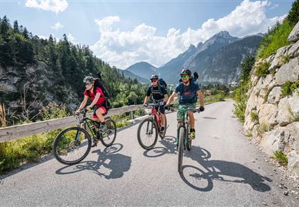
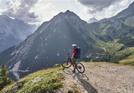
Bike tour to the Rosshütte

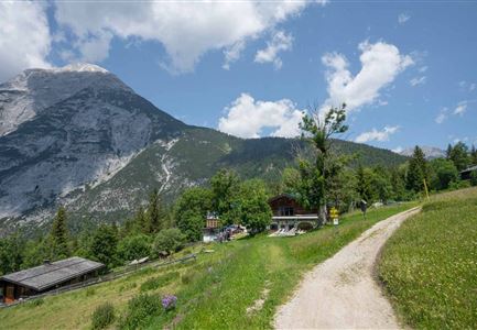
From the information office in Seefeld / train station Seefeld in northern direction turn right, via the car park until you cross the railway tracks, turn right here in eastern direction and follow Andreas-Hofer-Straße slightly uphill until you reach the roundabout. At the roundabout take the second exit and immediately turn right over the pedestrian bridge to the Rosshütte cable car valley station. From here, take a steep gravel road towards north-east. At the crossroads, keep left at the chairlift and follow the forest road. The first flat stretch and thus a short breather is at the Hocheggalm. This flat stretch only lasts for a short time, then it goes steeply uphill again from the Kaltwassersee lake to the Rosshütte mountain station. To get back to the starting point / parking lot, take the same way back, please take special care on the downhill rides in the steep section.s

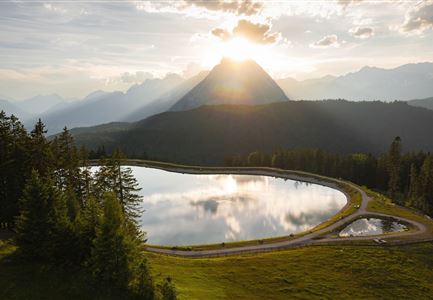
Tip: The lake Kaltwassersee is the optimal photopoint and should not be missed. You can strengthen yourself in the mountain restaurant Rosshütte which offers a large selection of dishes.

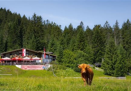
Attention pasture cattle, please keep distance and cross the pasture area calmly and quickly.

Features & Characteristics

Start Point

Information office Seefeld

End Point

Seefeld-Rosshütte Top Station

Similar Tour Suggestions

Drohnenaufnahme Gschwandtkopf - Speichersee mit Bäumen und Hohe Munde bei Sonnenuntergang.jpg

Cycling

Biketour No. 545 Gschwandtkopf

Length

6,40 km

Duration

00:45 h

Uphill

267 hm

Downhill

263 hm

Altitude

1486 hm

Difficulty

Hard

Wildmoos Buchen Ropferstubm

Cycling

Biketour No. 5067 Salzbach-Ropferstub'm

Length

16,40 km

Duration

01:00 h

Uphill

472 hm

Downhill

469 hm

Altitude

1312 hm

Difficulty

Medium

Wildmoosalm im Sommer - Hütte mit Kuh.jpg

Cycling

Gravelbiketour Wildmoos

Length

20,00 km

Duration

03:15 h

Uphill

450 hm

Altitude

1510 hm

Difficulty

Medium

Gravelbiker auf der Strasse zwischen Seefeld und Leutasch -Abfahrt

Cycling

Bike-connection No. 5052 Seefeld-Leutasch

Length

15,00 km

Duration

00:45 h

Uphill

271 hm

Altitude

1221 hm

Difficulty

Medium

Pfarrkirche im Sommer - Moesern

Cycling

Biketour No. 5068 Mösern-Brunschkopf

Length

8,90 km

Duration

01:00 h

Uphill

281 hm

Altitude

1496 hm

Difficulty

Medium

Blumenwiese in Neuleutasch

Cycling

Biketour No. 5070 Neuleutasch-Wildmoos

Length

3,80 km

Duration

00:35 h

Uphill

127 hm

Downhill

51 hm

Altitude

1317 hm

Difficulty

Hard

Bike-Tour-durchs-Karwendeltal-aufs-Karwendelhaus

Cycling

Biketour No. 595 Karwendeltal-Karwendelhaus

Length

37,00 km

Duration

04:00 h

Uphill

850 hm

Altitude

1771 hm

Difficulty

Medium

Radfahrer bei der Auffahrt zur Rotmoosalm - Pause mit Blick auf die Berge

Cycling

Biketour Nr. 553 Gaistal-Rotmoosalm

Length

20,10 km

Duration

02:30 h

Uphill

838 hm

Downhill

834 hm

Altitude

2032 hm

Difficulty

Hard