Start Point

Informationszentrum Seefeld

End Point

Informationszentrum Seefeld

Difficulty

Medium

Total Distance

20,00 km

Descent Meters

450 m

Ascent Meters

450 m

Highest Point

1510 m

Total Time

03:15 h

Map & Elevation Profile

Start Point

Informationszentrum Seefeld

End Point

Informationszentrum Seefeld

Difficulty

Medium

Total Distance

20,00 km

Descent Meters

450 m

Ascent Meters

450 m

Highest Point

1510 m

Total Time

03:15 h

Cycling

Best Time

Jan

Feb

Mar

Apr

May

Jun

Jul

Aug

Sep

Oct

Nov

Dec

Cycling and mountain biking

Mountainbike tour

+1

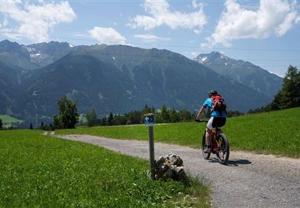
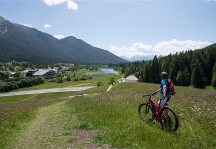
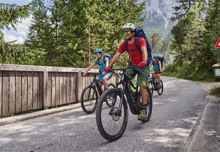
The start of the loop through the Wildmoos is at the information center in Seefeld right next to the train station. From here you drive out of Seefeld before turning off and driving slightly uphill on asphalt through the district of Klosterwald. From here on, the route follows the most beautiful paths through mostly shady forest, which, however, clears again and again and offers the most beautiful views of Seefeld and the surrounding mountains. With a slight, little difficult incline, you ride in the direction of Lake Möser before turning off to the viewing platform on the Brunschkopf. In this part follow the most altitude meters of the tour, but they can be mastered well.

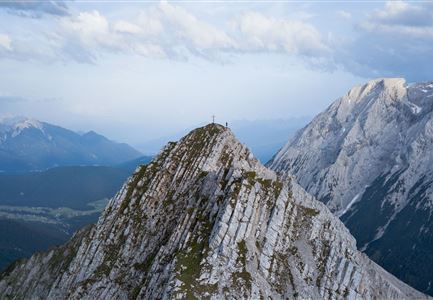
Once at the platform, you experience true sky cinema: from here you can see as far as the Zugspitze, Germany's highest peak, across the Seefeld Plateau into the Karwendel Mountains and as far as the Stubai Alps. A true alpine cinema! Continue from Brunschkopf along the same path down to the turnoff, where you follow the path to Lottensee. The Lottensee and the shortly following Wildmoossee are two natural phenomena: they are aperiodic and thus not always visible.

Read More...

Features & Characteristics

Start Point

Informationszentrum Seefeld

End Point

Informationszentrum Seefeld

Videos

01

Similar Tour Suggestions

Reith-Wiesenwegrunde (c) Anna Rieder

Cycling

Biketour No. 5031 Reith-Wiesenweg

Length

4,60 km

Duration

00:35 h

Uphill

109 hm

Downhill

110 hm

Altitude

1129 hm

Difficulty

Medium

Verbindung-Seefeld-Reith Pfarrhügel (c) Anna Rieder

Cycling

Bike-connection No. 5030 Seefeld-Reith

Length

10,20 km

Duration

00:35 h

Uphill

120 hm

Downhill

115 hm

Altitude

1193 hm

Difficulty

Easy

Partially open
Ebiken

Cycling

Biketour No. 588 Reith-Eigenhofen

Length

5,70 km

Duration

00:30 h

Uphill

6 hm

Downhill

528 hm

Altitude

1123 hm

Difficulty

Hard

Closed
Scharnitz - Wanderung Dorfrunde - Weg bei Gießenbach (1).jpg

Cycling

Radwanderroute: Reith - Seefeld - Scharnitz

Length

18,50 km

Duration

01:45 h

Uphill

140 hm

Downhill

320 hm

Altitude

1200 hm

Difficulty

Easy

Partially open
Radtour ins Gaistal - Bruecke am Eingang vom Gaistal

Hiking

Bike & Hike lake Seebensee & lake Drachensee

Length

31,00 km

Duration

04:45 h

Uphill

820 hm

Altitude

1897 hm

Difficulty

Medium

Wanderer auf dem Predigtstuhl.jpg

Hiking

Bike & Hike Predigtstuhl Summit, 2,234 m

Length

19,00 km

Duration

04:30 h

Uphill

1015 hm

Altitude

2234 hm

Difficulty

Hard

Gravelbike - Anfahrt zur Gaistalalm

Cycling

Bike Trail Tirol Etappe 06: Ehrwald-Scharnitz

Length

40,00 km

Duration

04:00 h

Uphill

990 hm

Downhill

1020 hm

Altitude

1590 hm

Difficulty

Medium

Gravelbiker in Scharnitz im Sommer

Cycling

Bike-connection No. 5051 Seefeld-Scharnitz

Length

25,30 km

Duration

01:15 h

Uphill

256 hm

Downhill

250 hm

Altitude

1195 hm

Difficulty

Medium