We use cookies for your personalized browsing experience, to personalize content and ads, to provide social media features, and to analyze traffic to our website. We also share information about your use of our website with our social media, advertising and analytics partners. Our partners may combine this information with other data that you have provided to them or that they have collected as part of your use of the Services. (incl. US providers)

Start Point

Seefeld Magic Castle

End Point

Scharnitz church

Difficulty

Easy

Total Distance

8,30 km

Ascent Meters

211 m

Highest Point

1183 m

Total Time

02:30 h

Map & Elevation Profile

Start Point

Seefeld Magic Castle

End Point

Scharnitz church

Difficulty

Easy

Total Distance

8,30 km

Ascent Meters

211 m

Highest Point

1183 m

Total Time

02:30 h

Hiking

Best Time

Jan

Feb

Mar

Apr

May

Jun

Jul

Aug

Sep

Oct

Nov

Dec

Winter walking

Route: At the castle mountain Seefeld – Hirnweg – Gießenbach – Hirlanda-Ellmann-Weg – church Mariahilf Scharnitz 

Directions:

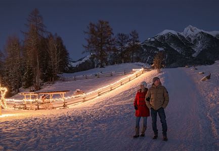
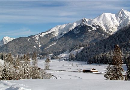
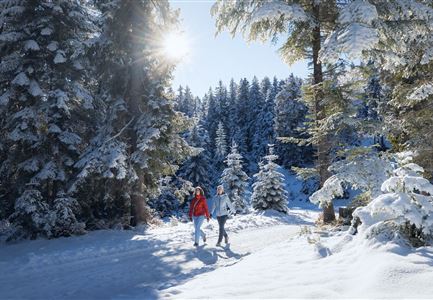
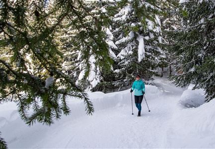
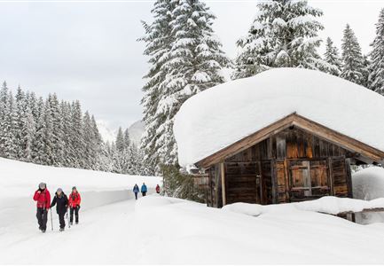
This winter hiking route crosses the picturesque Giessenbach Valley from Seefeld to Scharnitz along its entire length, with beautiful landscapes.

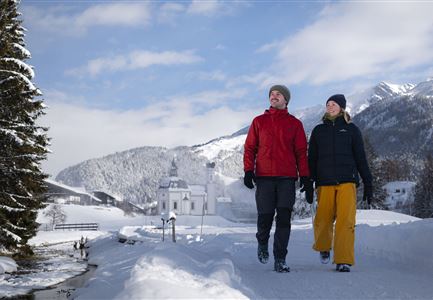
Not far from the starting point "Am Schlossberg" on the main road near Seefeld the Hirnweg begins, the access to the hiking trail is located on the edge of the forest behind the contemporary castle building. Follow this path through the snowy forests until you reach the small village of Giessenbach. Here you cross the main road and walk parallel to the main road to the right through the houses. In the cosy Ramona Restaurant at the end of the village, you can take a short break before you turn left and then right along the Giessenbach and across the fields to Scharnitz. In Scharnitz you follow the Hirlanda-Ellmann-Weg finally to the end point of the hike at the church Mariahilf. In walking distance there are some nice places to stop to eat. Afterwards you can take one of the bus and train connections from the small train station in Scharnitz back to Seefeld.

Alpine emergency call:

Call: 140

Features & Characteristics

Start Point

Seefeld Magic Castle

End Point

Scharnitz church

Similar Tour Suggestions

Möserer Mähder

Hiking

W8: Winter hike to the Seewaldalm

Length

6,23 km

Duration

02:00 h

Uphill

51 hm

Altitude

1234 hm

Difficulty

Easy

W4-Triendlsaege

Hiking

W4: Winter circular hike Seefeld - Triendlsäge

Length

6,80 km

Duration

02:15 h

Uphill

132 hm

Altitude

1195 hm

Difficulty

Easy

Möserer See im Winter

Hiking

W27: Winter circular hike Möserer See

Length

3,50 km

Duration

01:15 h

Uphill

97 hm

Altitude

1297 hm

Difficulty

Easy

KlammPlaik_im Winter

Hiking

W10: Winter hike through the Leutasch Valley

Length

13,20 km

Duration

03:45 h

Uphill

13 hm

Altitude

1174 hm

Difficulty

Easy

Kirche Moesern im Winter

Hiking

Long distance hiking in snow section 3

Length

14,00 km

Duration

06:00 h

Uphill

718 hm

Altitude

1719 hm

Difficulty

Medium

Verschneiter Möserer See

Hiking

W30: Winter hiking "Path of Peace"

Length

4,60 km

Duration

01:30 h

Uphill

97 hm

Downhill

101 hm

Altitude

1287 hm

Difficulty

Easy

Hämmermoosalm im Winter

Hiking

W11: Winter hike to the Hämmermoosalm

Length

4,00 km

Duration

02:00 h

Uphill

170 hm

Altitude

1417 hm

Difficulty

Easy

Open
W34 Kulturwanderweg Reith Unsere Frau Winter - Leithen

Hiking

W34: Winter circular hike "culture path" Reith

Length

4,50 km

Duration

01:30 h

Uphill

112 hm

Altitude

1126 hm

Difficulty

Easy