Start Point

Naturpark Info Center Scharnitz (P2)

End Point

Naturpark Info Center Scharnitz (P2)

Difficulty

Medium

Total Distance

13,10 km

Descent Meters

416 m

Ascent Meters

410 m

Highest Point

1152 m

Total Time

04:00 h

Status

Closed

Map & Elevation Profile

Start Point

Naturpark Info Center Scharnitz (P2)

End Point

Naturpark Info Center Scharnitz (P2)

Difficulty

Medium

Total Distance

13,10 km

Descent Meters

416 m

Ascent Meters

410 m

Highest Point

1152 m

Total Time

04:00 h

Status

Closed

Hiking

Best Time

Closed

Jan

Feb

Mar

Apr

May

Jun

Jul

Aug

Sep

Oct

Nov

Dec

Hiking tour

Circular hike

+1

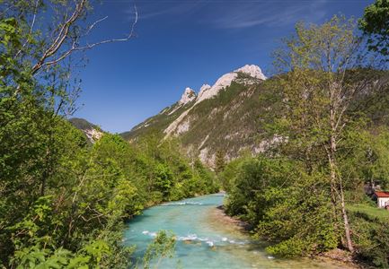
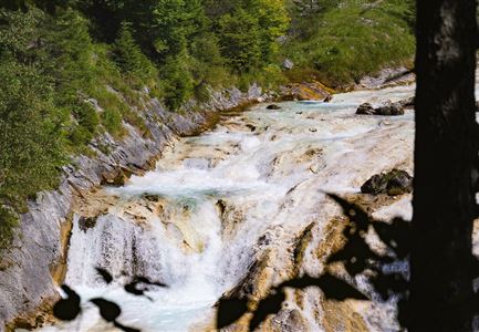
From the Nature Park Information Center in Scharnitz, the Hinterautalstraße leads about 500 meters to the turnoff for the Isarsteig. At the end of the Isarsteig, you reach the Nederweg, passing by the Scharnitzer Alm until you arrive at the entrance of the Gleirschklamm Gorge. A narrow path runs through this wild and romantic gorge, suitable only for sure-footed and experienced hikers. The trail continues until it reaches a forest road, where you turn right. Follow the path until you reach the turnoff for Hochwald, and then take the Hochwaldweg back to Scharnitz.

Features & Characteristics

Start Point

Naturpark Info Center Scharnitz (P2)

End Point

Naturpark Info Center Scharnitz (P2)

Loop tour

Yes

Similar Tour Suggestions

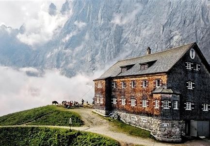
Falkenhütte neu

Hiking

Karwendelmarsch 52 km

Length

52,00 km

Duration

19:00 h

Uphill

2281 hm

Downhill

2217 hm

Altitude

1903 hm

Difficulty

Hard

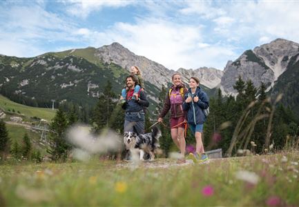
Familie beim Wandern am Kaltwassersee - Seefeld (1) Kopie.jpg

Hiking

Stone Pine Trail Rosshütte Mountain Station

Length

662 m

Duration

00:15 h

Uphill

28 hm

Downhill

24 hm

Difficulty

Easy

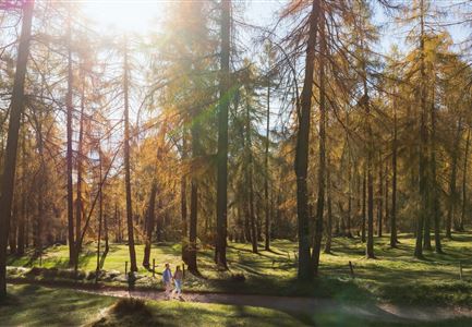
Lärchenwald in Reith - Drohnenaufnahme - Paar läuft zur den Wald - Aufnahme Richtung Sonne.jpg

Hiking

Circular Walk around the Gschwandtkopf Hill

Length

10,60 km

Duration

03:30 h

Uphill

226 hm

Downhill

220 hm

Altitude

1344 hm

Difficulty

Medium

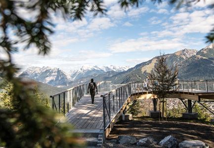
Wandern am Brunschkopf

Hiking

Brunschkopf viewing platform via Wildmoosalm from Leutasch

Length

12,80 km

Duration

04:30 h

Uphill

441 hm

Downhill

438 hm

Altitude

1493 hm

Difficulty

Medium

Scharnitz - Wanderung zur Adlerkanzel - Blick auf die Isar.jpg

Hiking

Circular village walk Scharnitz - Gießenbach

Length

6,10 km

Duration

01:30 h

Uphill

42 hm

Altitude

1013 hm

Difficulty

Easy

Wasserfall beim Karwendelsteg mit angeschnittenem Baum.jpg

Hiking

Circular hiking traill Karwendelsteg/Karwendelschlucht

Length

8,60 km

Duration

03:00 h

Uphill

352 hm

Altitude

1144 hm

Difficulty

Medium

Drohnenaufnahme Gschwandtkopf Speichersee - Person läuft entlang des Speichersees mit Hohe Munde im Hintergrund (3).jpg

Hiking

Hike on the Gschwandtkopf mountain

Length

11,60 km

Duration

03:30 h

Uphill

297 hm

Altitude

1485 hm

Difficulty

Medium

Nördlinger Hütte - Wanderer kurz vor der Hütte (2).jpg

Hiking

Circular hike to the Nördlinger Hütte alpine hut & Reither Spitze Summit, 2,374m

Length

9,90 km

Duration

07:30 h

Uphill

1191 hm

Altitude

2374 hm

Difficulty

Hard