Tourismusverband Seefeld
We use cookies for your personalized browsing experience, to personalize content and ads, to provide social media features, and to analyze traffic to our website. We also share information about your use of our website with our social media, advertising and analytics partners. Our partners may combine this information with other data that you have provided to them or that they have collected as part of your use of the Services. (incl. US providers)

Start Point

Mösern Information Office

End Point

Mösern Information Office

Difficulty

Medium

Total Distance

12,70 km

Descent Meters

382 m

Ascent Meters

382 m

Highest Point

1498 m

Total Time

04:00 h

Map & Elevation Profile

Start Point

Mösern Information Office

End Point

Mösern Information Office

Difficulty

Medium

Total Distance

12,70 km

Descent Meters

382 m

Ascent Meters

382 m

Highest Point

1498 m

Total Time

04:00 h

Hiking

Best Time

Jan

Feb

Mar

Apr

May

Jun

Jul

Aug

Sep

Oct

Nov

Dec

Hiking tour

Circular hike

+4

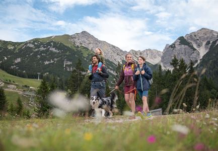
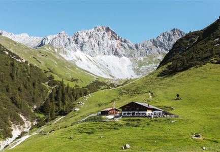
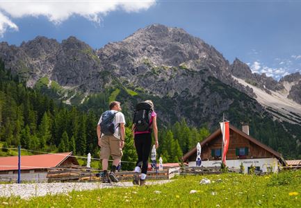
The Brunschkopf offers many beautiful trails, and this route connects the most impressive highlights: the Brunschkopf viewing platform, refreshment stops, and with a bit of luck, three lakes (two of which are aperiodic and may not always be visible).

From the Mösern Information Office, first follow the Broch-Weg (signposted Möserer See/Brunschkopf) uphill. At the end of the Broch-Weg, continue straight onto the signposted gravel path. At the next opportunity, turn right to the Möserer See parking lot (P3) and then continue on the wide gravel path into the forest.

At the Lottensee parking lot (P4), leave the paved road, switch back to the forest path, and follow the gently undulating path until the Mösern/Möserer Seestub’n junction. Turn right towards the Möserer Seestub’n, which offers seasonal treats, lake views, and a beautiful forest playground. If you prefer to go directly to the water, skip the stop and head right around the lake Möserer See, find a spot to relax, or take a refreshing dip in Tyrol’s warmest swimming lake.

Just before completing the lake loop back to the Seestub’n, a path leads down to

Read More...

Features & Characteristics

Start Point

Mösern Information Office

End Point

Mösern Information Office

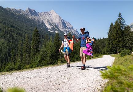
Family-friendly

Yes

Loop tour

Yes

Similar Tour Suggestions

Ropferstubm im Herbst - Moesern-Buchen

Hiking

Hike to the Inn Ropferstub'm

Length

9,20 km

Duration

03:00 h

Uphill

246 hm

Altitude

1316 hm

Difficulty

Easy

Sonnenaufgang im Karwendel_Speckkarspitze

Hiking

Bike & Hike Speckkarsptitze, 2,621 m

Length

44,00 km

Duration

11:00 h

Uphill

1794 hm

Altitude

2621 hm

Difficulty

Hard

Wanderung auf die Birkkarspitze - Scharnitz (65).jpg

Hiking

Hike from the Karwendelhaus to the Hinterautal

Length

9,20 km

Duration

07:00 h

Uphill

883 hm

Altitude

2642 hm

Difficulty

Hard

Solsteinhaus Etappe 2 Ziel & 3 Start

Hiking

Hike to the Solsteinhaus

Length

22,00 km

Duration

08:00 h

Uphill

940 hm

Downhill

975 hm

Altitude

1803 hm

Difficulty

Hard

Reith - Wanderung Frau Häusl Kapelle - Frau Häusl Kapelle mit Farn im Vordergrund.jpg

Hiking

On the rosary walking trail to the Frau Häusl chapel

Length

1,20 km

Duration

01:15 h

Uphill

100 hm

Altitude

1220 hm

Difficulty

Easy

Pfarrhuegel-in-Seefeld_WaLogo.jpg

Hiking

Village tour Pfarrhügel, Wildsee & Seekirchl

Length

4,70 km

Duration

01:30 h

Uphill

48 hm

Altitude

1208 hm

Difficulty

Easy

Drohnenaufnahme Wettersteinhütte mit Nebel in den Bergen.jpg

Hiking

Circular hike Wettersteinhütte - Wangalm - Hämmermoosalm

Length

10,20 km

Duration

04:15 h

Uphill

562 hm

Altitude

1756 hm

Difficulty

Medium

Durchs Karwendeltal aufs Karwendelhaus - Scharnitz

Hiking

Hike to the Karwendelhaus

Length

36,00 km

Duration

11:15 h

Uphill

839 hm

Altitude

1765 hm

Difficulty

Hard