We use cookies for your personalized browsing experience, to personalize content and ads, to provide social media features, and to analyze traffic to our website. We also share information about your use of our website with our social media, advertising and analytics partners. Our partners may combine this information with other data that you have provided to them or that they have collected as part of your use of the Services. (incl. US providers)

Start Point

ErlebnisWelt Alpenbad Leutasch

End Point

ErlebnisWelt Alpenbad Leutasch

Difficulty

Easy

Total Distance

30,00 km

Descent Meters

778 m

Ascent Meters

765 m

Highest Point

1417 m

Total Time

08:30 h

Map & Elevation Profile

Start Point

ErlebnisWelt Alpenbad Leutasch

End Point

ErlebnisWelt Alpenbad Leutasch

Difficulty

Easy

Total Distance

30,00 km

Descent Meters

778 m

Ascent Meters

765 m

Highest Point

1417 m

Total Time

08:30 h

Running

Best Time

Jan

Feb

Mar

Apr

May

Jun

Jul

Aug

Sep

Oct

Nov

Dec

Running

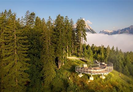
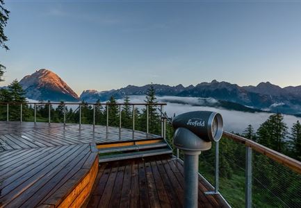
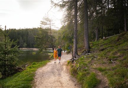
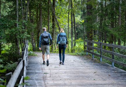
Discover the Gaistal valley and enjoy the natural peace and quiet behind the Hohe Munde. The 30km Gaistal Walk starts at 06.00 and takes in some of the special places in the Region Seefeld. From Leutasch the trail heads off into the Gaistal valley, where the Hämmermoosalm is the first of the highlights. Through meadows and woodland, the route takes walkers further to the Gaistalalm and finally leads out of the Gaistal towards Leutasch. Via Moos the tour takes in the Weidachsee towards the Puitbach and returns to the departure point.

Features & Characteristics

Start Point

ErlebnisWelt Alpenbad Leutasch

End Point

ErlebnisWelt Alpenbad Leutasch

Similar Tour Suggestions

Brunschkopf während der Goldenen Stunde.jpg

Running

Brunschkopf Trailrun Route

Length

11,80 km

Duration

02:30 h

Uphill

334 hm

Downhill

330 hm

Altitude

1499 hm

Difficulty

Medium

Wildmoosalm im Sommer - Alm aus der Distanz mit Gewässer im Vordergrund.jpg

Running

Steckenweg Trailrun-Route

Length

16,70 km

Duration

03:30 h

Uphill

308 hm

Altitude

1370 hm

Difficulty

Hard

Teilnehmer des Ganghofer Trail in der Nähe des Waidachsees.jpg

Running

Half Marathon Seefeld-Scharnitz Running Route

Length

21,00 km

Duration

03:00 h

Uphill

347 hm

Altitude

1254 hm

Difficulty

Hard

Bienenlehrpfad Reith - kleine Stadl am Anfang des Pfades bei Reith (1).jpg

Running

Auland Running Route

Length

7,20 km

Duration

01:50 h

Uphill

162 hm

Downhill

156 hm

Altitude

1203 hm

Difficulty

Medium

Friedensglocke im Frühling - Blick auf Fahnen mit Blumen.jpg

Running

IML Unicorn March Day 2: 30 km Inn Valley View Hike

Length

30,68 km

Duration

09:30 h

Uphill

731 hm

Downhill

551 hm

Altitude

1370 hm

Difficulty

Medium

Gehrenspitze und Gipfelkreuz beim Sonnenaufgang - Panoramaaufnahme.jpg

Running

Gehrenspitze Trailrun Route

Length

25,40 km

Duration

04:00 h

Uphill

1410 hm

Downhill

1430 hm

Altitude

2317 hm

Difficulty

Hard

Ganghofertrail 2024 - Mitzieheraufnahme Läuferin bei Weidachsee - Hochformat.jpg

Running

Leutascher Half Marathon Running Route

Length

21,00 km

Duration

03:00 h

Uphill

310 hm

Downhill

315 hm

Altitude

1191 hm

Difficulty

Hard

Partially open
Wildsee im Frühling bei Morgenstimmung - Drohnenaufnahme Seepromenade.jpg

Running

Wildsee Running Route

Length

3,90 km

Duration

00:30 h

Uphill

59 hm

Altitude

1203 hm

Difficulty

Easy