Start Point
Reith Train Station
End Point
Nördlinger Hütte
Difficulty
Medium
Total Distance
6,50 km
Descent Meters
1130 m
Ascent Meters
10 m
Highest Point
2239 m
Total Time
04:30 h
Hiking
Best Time
Jan
Feb
Mar
Apr
May
Jun
Jul
Aug
Sep
Oct
Nov
Dec
Long distance trails
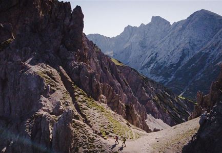
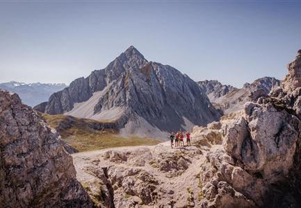
The first stage of the Karwendel High Trail starts at the railway station in Reith and initially heads north along the road. After crossing Römerstraße road, continue north on Panoramaweg road until this branches off into a bend heading south. Follow Panoramaweg before turning on to trail 211 and heading in a northerly direction. A short time later, this branches off to the right and snakes along to the Schartlenerhaus (1856 m). The trail then leads across the Latschenrücken ridge of the "Schoa?grat", with the winding early sections of this route subsequently giving way to less pronounced curved passages as you complete your final ascent to the Nördlinger Hütte (2239 m).
Variant:
The starting point is the valley station of the Bergbahnen Rosshütte in Seefeld. Take the funicular up to the Rosshütte (1751 m), then travel on the Härmelekopfbahn cable car to reach the start of the hike. From here, you can proceed directly along the Kuntersteig trail (10) to the Nördlinger Hütte (variant 1) or follow the steep and exposed route via the Härmelekopf and Reither Sptize mountains (79) to get to the Nördlinger Hütte (variant 2).
Summits along the way:
If
Stamina
Technique
Refreshment stops
Start Point
Reith Train Station
End Point
Nördlinger Hütte
Similar Tour Suggestions