We use cookies for your personalized browsing experience, to personalize content and ads, to provide social media features, and to analyze traffic to our website. We also share information about your use of our website with our social media, advertising and analytics partners. Our partners may combine this information with other data that you have provided to them or that they have collected as part of your use of the Services. (incl. US providers)

Start Point

Mösern Information Office

End Point

Mösern Information Office

Difficulty

Easy

Total Distance

7,20 km

Descent Meters

148 m

Ascent Meters

142 m

Highest Point

1268 m

Total Time

02:15 h

Status

Open

Map & Elevation Profile

Start Point

Mösern Information Office

End Point

Mösern Information Office

Difficulty

Easy

Total Distance

7,20 km

Descent Meters

148 m

Ascent Meters

142 m

Highest Point

1268 m

Total Time

02:15 h

Status

Open

Hiking

Best Time

Open

Jan

Feb

Mar

Apr

May

Jun

Jul

Aug

Sep

Oct

Nov

Dec

Winter walking

Family-friendly

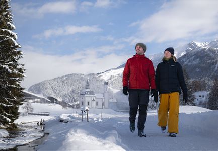
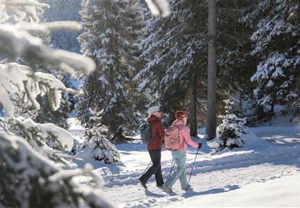
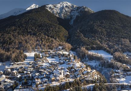
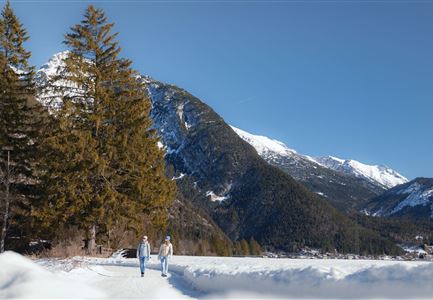
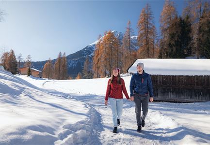
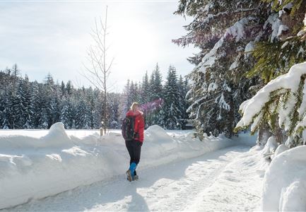
This short and picturesque hike connects the villages of Mösern and Seefeld, passing snowy meadows and through quiet forests in the Mösern Valley.

The starting point of this easy snow walk is right at the Mösern Information Office, next to parking lot P2. Following the hiking trail (No. 2), the route leads from the main road over the snow-covered Möserer meadows and through Kirchwald to the tennis hall and Seefeld Sports Arena. The tour ends at the charming Seekirchl chapel in Seefeld.

Afterwards, you can explore Seefeld’s historic Pedestrian Zone, enjoy a relaxed shopping stroll, or treat yourself to the culinary delights in one of the many excellent restaurants.

The return route follows the same path, or you can take a convenient bus back to the starting point from the “Seefeld i.T. Gschwandtkopflift” stop.

Similar Tour Suggestions

Winterwandern Paar Seefeld Möserer Tal Mann zeigt auf Seekirchel.jpg

Hiking

Stage 1: From Seefeld via Reith to Leithen - Seefeld High Plateau Winter Multi-day Hike

Length

12,80 km

Duration

05:00 h

Uphill

266 hm

Downhill

267 hm

Difficulty

Easy

Open
Winterwandern-am-Wildmoos-Plateau-(1)_WaLogo.jpg

Hiking

W1: Winter Circular Hike Seefeld-Mösern-Wildmoos

Length

13,00 km

Duration

03:30 h

Uphill

247 hm

Altitude

1333 hm

Difficulty

Medium

Open
Weitwandern Etappe 1 Teilnehmer bei Bach (1).jpg

Hiking

Stage 1: From Schanz to Weidach – Tyrol’s 1. Winter Multi-day Hike

Length

14,20 km

Duration

03:30 h

Uphill

140 hm

Downhill

58 hm

Altitude

1162 hm

Difficulty

Medium

Open
drohnenaufnahme_neuschnee_27.11._leutasch_blick_richtung_hohe_munde_1.jpg

Hiking

W10: Winter hike through the Leutasch Valley

Length

26,40 km

Duration

07:00 h

Uphill

173 hm

Downhill

177 hm

Altitude

1179 hm

Difficulty

Easy

Closed
Katzenkopfhütte Winter

Hiking

Stage 1: Extension to Katzenkopf (2.9 km) – Tyrol’s 1. Winter Multi-day Hike

Length

2,90 km

Duration

01:15 h

Uphill

245 hm

Altitude

1360 hm

Difficulty

Medium

Open
Luftaufnahme Wildsee im Winter - Seefeld.jpg

Hiking

W5: Winter Circuite around the Wildsee lake

Length

4,70 km

Duration

01:15 h

Uphill

22 hm

Altitude

1181 hm

Difficulty

Easy

Open
Weitwandern Etappe 3 Winterlandschaft (1).jpg

Hiking

W28: Winter Circular Hike Mösern-Wildmoosalm-Lottenseehütte

Length

11,00 km

Duration

03:15 h

Uphill

221 hm

Downhill

222 hm

Altitude

1366 hm

Difficulty

Easy

Open
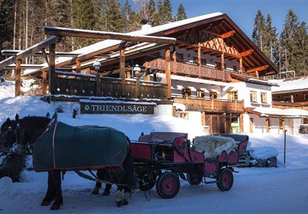
Triendlsäge im Winter - Gebäude mit Pferdekutsche.jpg

Hiking

W4: Winter Circular Hike Seefeld - Triendlsäge

Length

7,50 km

Duration

02:15 h

Uphill

147 hm

Altitude

1198 hm

Difficulty

Easy

Open