We use cookies for your personalized browsing experience, to personalize content and ads, to provide social media features, and to analyze traffic to our website. We also share information about your use of our website with our social media, advertising and analytics partners. Our partners may combine this information with other data that you have provided to them or that they have collected as part of your use of the Services. (incl. US providers)

Start Point

Reith Railway Station

End Point

Reith Railway Station

Difficulty

Medium

Total Distance

5,00 km

Descent Meters

192 m

Ascent Meters

186 m

Highest Point

1303 m

Total Time

02:00 h

Status

Open

Map & Elevation Profile

Start Point

Reith Railway Station

End Point

Reith Railway Station

Difficulty

Medium

Total Distance

5,00 km

Descent Meters

192 m

Ascent Meters

186 m

Highest Point

1303 m

Total Time

02:00 h

Status

Open

Hiking

Best Time

Open

Jan

Feb

Mar

Apr

May

Jun

Jul

Aug

Sep

Oct

Nov

Dec

Winter walking

Family-friendly

+1

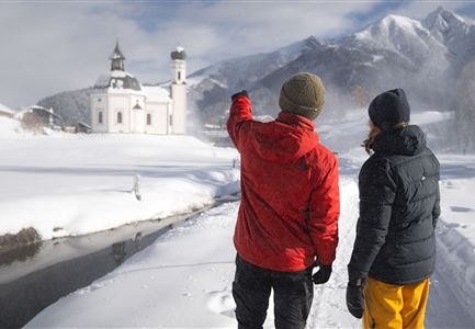
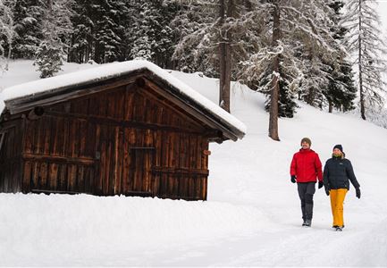
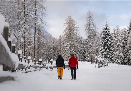
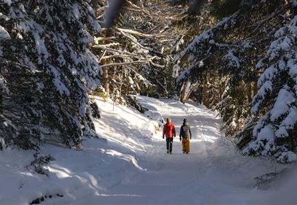
This spectacular panoramic circular hike leads five kilometres through the snow-covered winter forests above Reith with picturesque views.

From the starting point at Reith Railway Station, follow the railway line along the subway and then along the edge of the forest for a while until the signposted panoramic hiking trail branches off to the right. The gravel path now leads through the Hölltal valley back to Reith. In the village, you then reach the old roman road and turn right across the Reither village square (and the cosy little café of the Reither bakery) to find your way back to the starting point at the Railway Station a little later.

Features & Characteristics

Stamina

Technique

Start Point

Reith Railway Station

End Point

Reith Railway Station

Family-friendly

Yes

Loop tour

Yes

Similar Tour Suggestions

Winterwandern Paar Seefeld Möserer Tal Paar läuft vor Seekirchel (2).jpg

Hiking

W29: Winter circular hike through the Möserer Valley

Length

3,10 km

Duration

01:00 h

Uphill

10 hm

Altitude

1197 hm

Difficulty

Easy

Open
Winterwandern Paar Oberer Wiesenweg Mann zeigt auf etwas Hohe Munde im Neben im Hintergrund (1).jpg

Hiking

W17: Winter circular hike on the Wiesenweg

Length

6,20 km

Duration

01:45 h

Uphill

61 hm

Altitude

1193 hm

Difficulty

Easy

Open
Winterwandern Paar Möserer See Paar steht auf Steg Seitenperspektive.jpg

Hiking

W27: Winter circular hike Möserer See

Length

3,50 km

Duration

01:15 h

Uphill

96 hm

Downhill

100 hm

Altitude

1297 hm

Difficulty

Easy

Open
Winterwandern Paar Oberer Wiesenweg Aufnahme von Paar von Hinten laufen neben Zaun (1).jpg

Hiking

Stage 4: From Wettersteinhütte to Leutasch – Tyrol’s 1. Winter Multi-day Hike

Length

9,50 km

Duration

03:30 h

Uphill

25 hm

Altitude

1717 hm

Difficulty

Medium

Open
Weidachsee im Winter

Hiking

W9: Winter circular hike around Weidachsee lake

Length

3,80 km

Duration

01:00 h

Uphill

46 hm

Altitude

1156 hm

Difficulty

Easy

Open
Haemmermoosalm im Winter.jpg

Hiking

W11: Winter hike to the Hämmermoosalm

Length

4,00 km

Duration

02:00 h

Uphill

173 hm

Downhill

171 hm

Altitude

1410 hm

Difficulty

Easy

Open
Drohnenaufnahme Reith im Winter - Kirche reingezoomt mit Wettersteingebirge im Hintergrund.jpg

Hiking

W34: Winter circular hike "culture path" Reith

Length

4,50 km

Duration

01:30 h

Uphill

116 hm

Downhill

117 hm

Altitude

1128 hm

Difficulty

Easy

Open
drohnenaufnahme_neuschnee_27.11._leutasch_blick_richtung_hohe_munde_1.jpg

Hiking

W10: Winter hike through the Leutasch Valley

Length

26,40 km

Duration

07:00 h

Uphill

173 hm

Downhill

177 hm

Altitude

1179 hm

Difficulty

Easy

Open