Tourismusverband Seefeld
We use cookies for your personalized browsing experience, to personalize content and ads, to provide social media features, and to analyze traffic to our website. We also share information about your use of our website with our social media, advertising and analytics partners. Our partners may combine this information with other data that you have provided to them or that they have collected as part of your use of the Services. (incl. US providers)

Start Point

Parking P12 "Klamm"

End Point

Parking P12 "Klamm"

Difficulty

Easy

Total Distance

10,80 km

Descent Meters

70 m

Ascent Meters

78 m

Highest Point

10777 m

Total Time

03:00 h

Map & Elevation Profile

Start Point

Parking P12 "Klamm"

End Point

Parking P12 "Klamm"

Difficulty

Easy

Total Distance

10,80 km

Descent Meters

70 m

Ascent Meters

78 m

Highest Point

10777 m

Total Time

03:00 h

Hiking

Best Time

Jan

Feb

Mar

Apr

May

Jun

Jul

Aug

Sep

Oct

Nov

Dec

Hiking tour

Village walks

+1

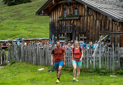
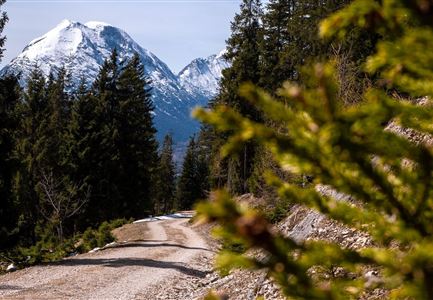
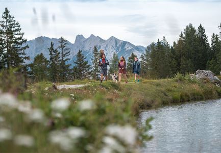
The hike along the Achweg promises a true nature experience in the idyllic Leutasch Valley. Following the Leutascher Ache, the trail leads through charming hamlets and offers impressive mountain views.

The starting point for this hike is the P12 parking area in the Klamm district. From there, the trail follows the Achweg along the Leutascher Ache. The route passes through the scenic landscape of Oberleutasch and leads through the districts of Obern, Plaik, Platzl, Aue and Kirchplatzl, eventually reaching the center of Leutasch Valley in Weidach.

From Weidach, you can take a connecting path to reach the Gasse district and then Ahrn, or you can continue hiking all the way to Unterleutasch. For the way back, you can take bus 431 to return to the starting point, or you can simply hike back along the same path.

Features & Characteristics

Start Point

Parking P12 "Klamm"

End Point

Parking P12 "Klamm"

Family-friendly

Yes

Similar Tour Suggestions

Gleirschklamm - Scharnitz (17).jpg

Hiking

Hike through the Gleirschklamm to the Möslalm

Length

21,20 km

Duration

06:30 h

Uphill

505 hm

Downhill

498 hm

Altitude

1261 hm

Difficulty

Medium

Closed
Wandern am Brunschkopf

Hiking

Brunschkopf viewing platform via Wildmoosalm from Leutasch

Length

12,80 km

Duration

04:30 h

Uphill

441 hm

Downhill

438 hm

Altitude

1493 hm

Difficulty

Medium

Wanderung zur Eppzirler Alm im Sommer - Mann und Frau von hinten mit Eppzirler Alm.jpg

Hiking

Hike to the Eppzirler Alm alpine hut

Length

12,40 km

Duration

04:00 h

Uphill

475 hm

Altitude

1459 hm

Difficulty

Medium

Schausäge der Triendlsäge

Hiking

Circular walking path to the Inn Triendlsäge

Length

4,80 km

Duration

01:15 h

Uphill

101 hm

Altitude

1215 hm

Difficulty

Easy

Scharnitz - Wanderung Dorfrunde - Kirche in Scharnitz.jpg

Hiking

Scharnitz cultural hiking trail

Length

3,00 km

Duration

01:00 h

Uphill

53 hm

Altitude

1005 hm

Difficulty

Easy

Gravelbike - Zum Isarursprung.jpg

Hiking

Bike & Hike Hoher Gleirsch Summit, 2,492 m

Length

31,00 km

Duration

09:30 h

Uphill

1772 hm

Altitude

2492 hm

Difficulty

Hard

Scharnitz - Wanderung zur Adlerkanzel - Adlerkanzel mit Ausblick auf Scharnitz.jpg

Hiking

Hike to the viewpoint Adlerkanzel (Eagle's pulpit)

Length

2,80 km

Duration

01:30 h

Uphill

230 hm

Altitude

1145 hm

Difficulty

Medium

Wettersteinhuette (l) und Wangalm (r) im Wettersteingebirge.jpg

Hiking

Hike to the Wettersteinhütte alpine hut - Wang alpine hut

Length

7,30 km

Duration

04:00 h

Uphill

566 hm

Altitude

1717 hm

Difficulty

Medium