We use cookies for your personalized browsing experience, to personalize content and ads, to provide social media features, and to analyze traffic to our website. We also share information about your use of our website with our social media, advertising and analytics partners. Our partners may combine this information with other data that you have provided to them or that they have collected as part of your use of the Services. (incl. US providers)

Start Point

Naturpark Info Center Scharnitz (P2)

End Point

Naturpark Info Center Scharnitz (P2)

Difficulty

Medium

Total Distance

15,20 km

Descent Meters

794 m

Ascent Meters

789 m

Highest Point

1743 m

Total Time

06:00 h

Map & Elevation Profile

Start Point

Naturpark Info Center Scharnitz (P2)

End Point

Naturpark Info Center Scharnitz (P2)

Difficulty

Medium

Total Distance

15,20 km

Descent Meters

794 m

Ascent Meters

789 m

Highest Point

1743 m

Total Time

06:00 h

Hiking

Best Time

Jan

Feb

Mar

Apr

May

Jun

Jul

Aug

Sep

Oct

Nov

Dec

Hiking tour

Hut hike

+1

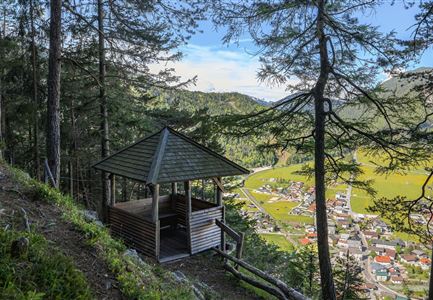
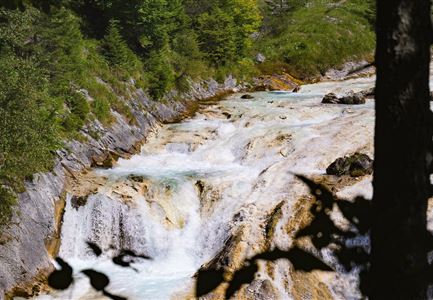
This moderately difficult hike takes you through varied landscapes with plenty of scenic views. The starting point is the Naturpark Info Center in Scharnitz. The trail begins by turning right towards Café Länd. Across from the café, the path climbs slightly, then turns right onto a dirt road. From there, head left towards Parking Lot P4 Mühlberg. After the last house on the left, a narrow, sometimes steep trail begins to climb in switchbacks through Bärenklamm (watch for the signs). This trail, which requires sure-footedness, goes through shady forest up to the Mühlberg Forest Road.

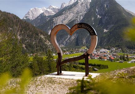
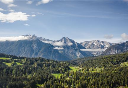
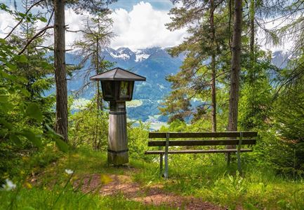
You can take a short detour to the Heart Viewpoint on Mühlberg. Continue uphill to the old Mühlberg lift station. From there, a narrow path on the left leads to Mittagskopf and Zäunlkopf. A quick 10-minute detour will reward you with stunning views of the Karwendel valleys. From Zäunlkopf, the descent begins, following signs to Oberbrunnalm.

The return route takes you through the Gießenbach Valley along the forest road towards Scharnitz. In Gießenbach, cross the main road and turn right onto the forest road back to Scharnitz.

Alternative Starting Point:
The

Read More...

Features & Characteristics

Start Point

Naturpark Info Center Scharnitz (P2)

End Point

Naturpark Info Center Scharnitz (P2)

Loop tour

Yes

Similar Tour Suggestions

Wanderer auf dem Predigtstuhl.jpg

Hiking

Bike & Hike Predigtstuhl Summit, 2,234 m

Length

19,00 km

Duration

04:30 h

Uphill

1009 hm

Altitude

2234 hm

Difficulty

Hard

Brunschkopf_inkl_Logo.jpg

Hiking

Brunschkopf viewing platform via Geiernest from Seefeld, return via Wildmoosalm

Length

9,20 km

Duration

03:15 h

Uphill

316 hm

Downhill

313 hm

Altitude

1493 hm

Difficulty

Medium

Grosse Arnspitze Blick ins Karwendel - Scharnitz

Hiking

Hike Hoher Sattel - Große Arnspitze Summit, 2,196 m

Length

10,30 km

Duration

08:00 h

Uphill

1313 hm

Altitude

2196 hm

Difficulty

Hard

Gravelbike - Zum Isarursprung.jpg

Hiking

Bike & Hike Hoher Gleirsch Summit, 2,492 m

Length

31,00 km

Duration

09:30 h

Uphill

1772 hm

Altitude

2492 hm

Difficulty

Hard

Gleirschklamm - Scharnitz (17).jpg

Hiking

Hike through the Gleirschklamm to the Möslalm

Length

21,20 km

Duration

06:30 h

Uphill

505 hm

Downhill

498 hm

Altitude

1261 hm

Difficulty

Medium

Closed
Möserer See im Frühling - Paar läuft entlang des Seeweges.jpg

Hiking

Circular walking path from Seefeld to the lake Möserer See

Length

8,80 km

Duration

02:30 h

Uphill

231 hm

Altitude

1297 hm

Difficulty

Easy

Muggenmoosalm

Hiking

Circular hike from Seefeld to the Lottenseehütte alpine hut & Muggenmoosalm alpine hut

Length

15,30 km

Duration

04:30 h

Uphill

554 hm

Altitude

1398 hm

Difficulty

Easy

Wildsee im Frühling bei Morgenstimmung - Drohnenaufnahme kleine Plattform am See.jpg

Hiking

Way of imperator Maximilian

Length

2,50 km

Duration

00:30 h

Uphill

3 hm

Altitude

1180 hm

Difficulty

Easy