Start Point
Scharnitz information centre (parking Länd P2)
End Point
Scharnitz information centre (parking Länd P2)
Difficulty
Medium
Total Distance
25,00 km
Descent Meters
420 m
Ascent Meters
420 m
Highest Point
1249 m
Total Time
04:00 h
Hiking
Best Time
Jan
Feb
Mar
Apr
May
Jun
Jul
Aug
Sep
Oct
Nov
Dec
Bike & Hike
Hiking tour
+1
Route: Scharnitz Nature Park Information Center - Gleirschhöhe - Gleirschtal - Kristenalm - Gleirschtal -Gleirschhöhe - Scharnitz Nature Park Information Center
Directions:
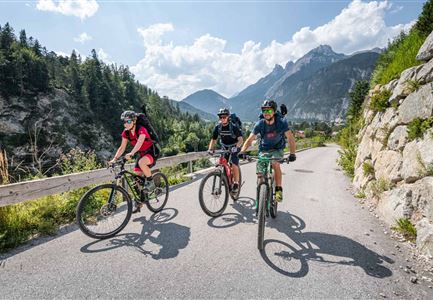
To save time, it is recommended to take the bike up to crossing Kristenalm/Möslalm and then continue on foot to the Kristenalm.
From the Scharnitz Nature Park Info Center follow the forest road into the Gleirschtal and after a few kilometers leave your bike at the junction into the Kristental. From here, continue on to the Kristenalm on foot ( bikes are not allowed). Return to the starting point along the same path.
Details for one direction:
Refreshment stops
Start Point
Scharnitz information centre (parking Länd P2)
End Point
Scharnitz information centre (parking Länd P2)
Similar Tour Suggestions