Start Point

Parking at the P3 Lake Möserer See

End Point

Parking at the P3 Lake Möserer See

Difficulty

Easy

Total Distance

7,10 km

Descent Meters

250 m

Ascent Meters

250 m

Highest Point

1420 m

Total Time

02:30 h

Map & Elevation Profile

Start Point

Parking at the P3 Lake Möserer See

End Point

Parking at the P3 Lake Möserer See

Difficulty

Easy

Total Distance

7,10 km

Descent Meters

250 m

Ascent Meters

250 m

Highest Point

1420 m

Total Time

02:30 h

Hiking

Best Time

Jan

Feb

Mar

Apr

May

Jun

Jul

Aug

Sep

Oct

Nov

Dec

Hiking

Hiking tour

+4

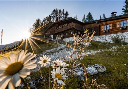
The hike starts at parking lot P3 near Möserer See. From there, the trail leads through the peaceful Lehenwald forest, past the Möserer Mähder meadows and across wide mountain pastures towards the Wildmoosalm.

Soon, you’ll reach an intersection where trail number 61 branches off to the left. A little further along, you’ll come across the aperiodic Wildmoossee – a special lake that doesn’t always appear. If you’re lucky, you can witness this fascinating natural phenomenon.

At the intersection by Wildmoossee, you can decide whether to continue to Wildmoosalm. If you need a break, you can rest in the cozy hut and enjoy a good meal.

The trail then continues past Wildmoossee towards Lottenseehütte. Here, too, you might be lucky enough to see another rare lake, Lottensee, which only appears occasionally. The Lottenseehütte is a great place to stop, offering delicious regional dishes and a sunny terrace where you can relax for a while.

After a short break, the trail continues along the Pirschsteig, trail number 2. This path runs above the road through the forest, offering stunning views of the Inn Valley along the way. The trail then merges

Read More...

Features & Characteristics

Start Point

Parking at the P3 Lake Möserer See

End Point

Parking at the P3 Lake Möserer See

Family-friendly

Yes

Loop tour

Yes

Videos

01

Similar Tour Suggestions

Pleisenhütte im Sommer - Scharnitz - quer.jpg

Hiking

Hike to the Pleisen alpine hut

Length

15,90 km

Duration

05:00 h

Uphill

780 hm

Downhill

774 hm

Altitude

1757 hm

Difficulty

Medium

Herbstwanderung am Oberen Wiesenweg_Paar läuft entlang von Wiese_Aufnahme gegen die Sonne mit Lärchen im Hintergrund.jpg

Hiking

Circular hiking traill Oberer & Unterer Wiesenweg

Length

6,10 km

Duration

02:00 h

Uphill

64 hm

Altitude

1194 hm

Difficulty

Easy

Familie in der Region Seefeld - Spielen am Fluss - Leutascher Ache.jpg

Hiking

Hike to Unterleutasch Along the Achweg

Length

9,10 km

Duration

02:30 h

Uphill

3 hm

Downhill

77 hm

Altitude

1174 hm

Difficulty

Easy

Blick auf Arnspitzen Ueberschreitung - Scharnitz

Hiking

Mountain tour crossing of the Arnspitzen

Length

11,50 km

Duration

08:30 h

Uphill

1353 hm

Altitude

2196 hm

Difficulty

Hard

Brunnsteinspitze mit Gipfelkreuz - Scharnitz (4).jpg

Hiking

Hike to the Brunnsteinspitze Summit, 2,180 m

Length

13,00 km

Duration

08:30 h

Uphill

1368 hm

Altitude

2180 hm

Difficulty

Hard

Isarursprung im Karwendel - Scharnitz (3).jpg

Hiking

Hike to the source of the river Isar & Kasten alpine hut

Length

28,20 km

Duration

06:00 h

Uphill

323 hm

Altitude

1227 hm

Difficulty

Medium

Reith - Wanderung Frau Häusl Kapelle - Bank und Bildstock mit Aussicht ins Inntal.jpg

Hiking

Circular hike panoramic path

Length

6,70 km

Duration

02:15 h

Uphill

289 hm

Altitude

1306 hm

Difficulty

Easy

Rotmoosalm im Gaistal beim Sonnenuntergang (C) Olympiaregion Seefeld

Hiking

High Pasture alpine hut hike above the Gaistal Valley

Length

24,40 km

Duration

09:45 h

Uphill

1263 hm

Downhill

1264 hm

Altitude

2132 hm

Difficulty

Medium