Tourismusverband Seefeld
We use cookies for your personalized browsing experience, to personalize content and ads, to provide social media features, and to analyze traffic to our website. We also share information about your use of our website with our social media, advertising and analytics partners. Our partners may combine this information with other data that you have provided to them or that they have collected as part of your use of the Services. (incl. US providers)
Start Point

Information Office Mösern

End Point

Information Office Mösern

Difficulty

Easy

Total Distance

4,40 km

Descent Meters

92 m

Ascent Meters

92 m

Highest Point

1289 m

Total Time

01:00 h

Map & Elevation Profile

Start Point

Information Office Mösern

End Point

Information Office Mösern

Difficulty

Easy

Total Distance

4,40 km

Descent Meters

92 m

Ascent Meters

92 m

Highest Point

1289 m

Total Time

01:00 h

Running

Best Time

Jan

Feb

Mar

Apr

May

Jun

Jul

Aug

Sep

Oct

Nov

Dec

Nordic walking

Running tracks

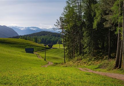
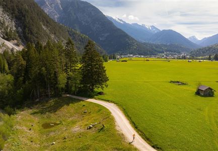
This village running loop showcases the best of Mösern – the largest free-standing bell in the Alps and the idyllic Möserer See. In summer, the lake reaches up to 25°C, making it one of the warmest swimming lakes in Tyrol. In winter, depending on the weather, it turns into a popular ice-skating spot on weekends.

The loop starts at the Mösern information office and is suitable for running all year round. Right at the beginning, the route passes a 300-year-old local farm museum. Shortly after, it reaches the small Gföll Chapel. After crossing the road, the trail continues on the Albrecht-Dürer-Weg, a scenic section that leads into nature.

Before long, Möserer See comes into view. Sitting at 1,295 meters above sea level and surrounded by dense pine forest, it is a peaceful swimming spot in summer with pleasantly warm temperatures. Benches along the shore invite runners to pause and take in the view.

In winter, the landscape transforms into a snowy wonderland. If the ice is thick enough, the lake becomes an ice-skating rink. After a loop around the lake, the route continues to the Peace Bell. Weighing 10,450 kilograms, it

Read More...

Similar Tour Suggestions

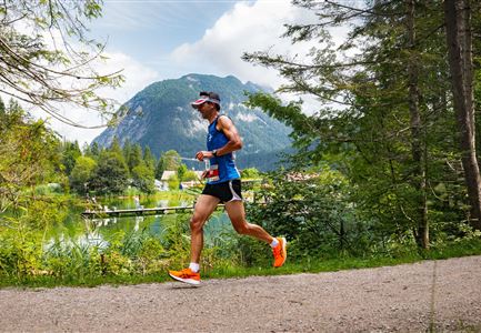
Scharnitz - Wanderung Dorfrunde - Weg von Gießenbach nach Scharnitz mit Läufer.jpg

Running

Signature Village Running Loop from Scharnitz to Gießenbach

Length

8,30 km

Duration

02:00 h

Uphill

42 hm

Altitude

1010 hm

Difficulty

Easy

Ganghofertrail 2024 - einzelzer Läufer im Wald bei Weidachsee.jpg

Running

Moos Running Route

Length

8,70 km

Duration

01:00 h

Uphill

104 hm

Downhill

100 hm

Altitude

1188 hm

Difficulty

Easy

Ganghofertrail 2024 - einzelner Läufer bei Weidachsee mit Blick auf Arnspitzen.jpg

Running

Weidachsee Running Route

Length

3,70 km

Duration

00:50 h

Uphill

63 hm

Downhill

64 hm

Altitude

1156 hm

Difficulty

Easy

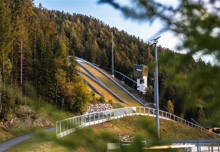
Skisprungschanzen kurz vorm Sonnenuntergang (1).jpg

Running

Stadium Running Route

Length

3,00 km

Duration

00:45 h

Uphill

50 hm

Altitude

1202 hm

Difficulty

Easy

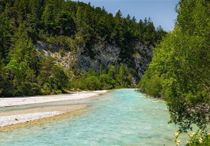
Wanderung zur Scharnitzer Alm - Isar mit Blumen im Vordergrund - Hochformat.jpg

Running

Isar Running Route

Length

7,80 km

Duration

01:00 h

Uphill

78 hm

Downhill

48 hm

Altitude

979 hm

Difficulty

Easy

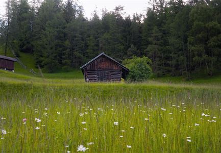
Bienenlehrpfad Reith - kleine Stadl am Anfang des Pfades bei Reith (1).jpg

Running

Auland Running Route

Length

7,20 km

Duration

01:50 h

Uphill

162 hm

Downhill

156 hm

Altitude

1203 hm

Difficulty

Medium

Trailrunning in der Region Seefeld - Abkühlung an der Leutascher Ache - Gaistal.jpg

Running

Signature Village Running Loop Leutascher Meadow Path & Achweg

Length

6,20 km

Duration

01:45 h

Uphill

73 hm

Altitude

1195 hm

Difficulty

Easy

Reith Wiesenweg im Frühling - Weg entlang grüner Wiesen.jpg

Running

Signature Village Running Loop from Reith to Meadow Path Leithen

Length

4,60 km

Duration

01:30 h

Uphill

105 hm

Altitude

1128 hm

Difficulty

Easy