von Tessa Mellinger
July 01, 2020
SUMMER
Mountain tour with a view: The 5 most beautiful summit tours
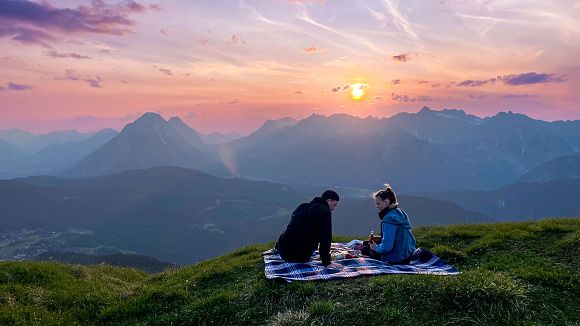
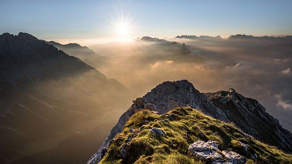
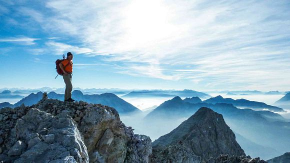
The great cinema of the mountains: a summit tour is always a special experience. Wonderful paths, idyllic valleys, spectacular huts and alpine pastures, the best views and finally picturesque peaks are waiting to be climbed. These are the five most beautiful summit tours with a stop in the region.
1. Seefeld peak (2,221 m): The most beautiful Seefeld local mountain
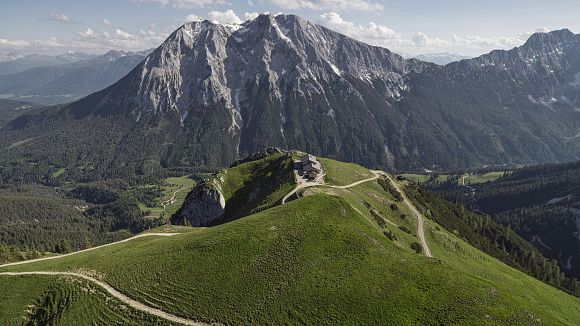
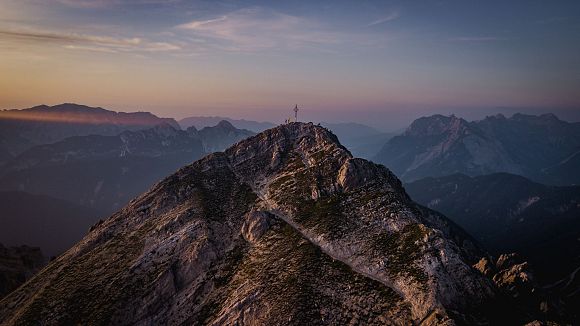
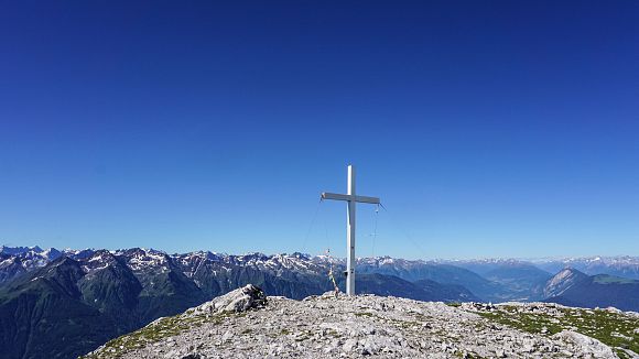
You should definitely have been to the Seefeld peak once. The 360-degree views from there are breathtaking: you can see in every direction as far as the eye can see. The views stretch all the way to Germany and the Zugspitze, to Italy and even Switzerland, while at the same time you can overlook the entire plateau and admire the rugged and impressive peaks of the Karwendel mountains on the other side. With the cable car, the ascent from Seefelder Joch is short and wonderful to walk along the ridge. The path is easy, you should only have a minimum of head for heights.
Difficulty: easy
Duration: To the Seefelder Spitze approx. 30 minutes from the Seefelder Joch (ascent with the Rosshütte cable cars)
Distance: 2 km / 100 vertical meters
Highlight: 360-degree views and 4-country view
Refreshment stops: Rosshütte mountain restaurant, Café Segafredo, Nördlinger Hütte, Hochegg Alm, Reitherjoch Alm.
Description: The easiest way to ascend is with the Rosshütte cable cars. You can comfortably take the Jochbahn to the Seefelder Joch, from where you can already enjoy wonderful views. On an easy path you hike from the summit cross of the Seefelder Joch further in the direction of the Seefelder Spitze, the ridge is only briefly a bit more exposed, otherwise it is not difficult to walk. From the Seefelder Spitze you can either descend on the same path or continue the hike. The possibilities are manifold: you can continue hiking to the Reither Spitze as the "Königstour" (difficult path, surefootedness required), somewhat less difficult you can continue hiking over the Härmelekopf to the Nördlinger Hütte. In addition, you can descend via the Reitherjoch Alm or also via the Rosshütte cable cars to the Kaltwassersee and Hochegg Alm. No matter which path you choose: each of them is worthwhile.
2nd Gehrenspitze (2,367 m): Real hiking highlight
The Gehrenspitze is a real hiking highlight. The paths to the summit are fantastic and varied, the view unforgettable and two alpine pastures are waiting with delicious rewards. Which one to stop at? Best in both. A tour that you should definitely have done once.
Difficulty: medium
Duration: 5,5 to 6 hours (round trip through the Puittal and into the Gaistal)
Distance: 16,5 km / 1300 meters altitude difference
Highlight: Wonderful paths through idyllic landscapes, views, delicious refreshment stop
Refreshment stops: Wangalm, Wettersteinhütte
Description: The start of the tour is the parking lot "Puitbach" in Leutasch (only limited parking spaces available, we strongly recommend the uncomplicated arrival with the region bus; free of charge with guest card). From the parking lot or the bus stop, you cross the road and hike through the idyllic Puittal valley in the direction of Scharnitzjoch. On a beautiful path you walk in numerous serpentines up to the Puitegg and further on to the Scharnitzjoch. At the latest here you already have a great view over the Wetterstein mountains, the impressive walls of the Schüsselkar, the Gaistal and on the Gehrenspitze. From the Scharnitzjoch you follow the path slightly ascending further to the small Erinnerungshütte and again further towards the Gehrenspitze. Here the trail becomes a bit more exposed, surefootedness and a bit of a head for heights are required until you reach the summit of the Gehrenspitze. Here you have breathtakingly beautiful views over the Leutasch and far over the Alps. On the same way you go back via the Erinnerungshütte and to the Scharnitzjoch. Here you turn off in the direction of Wangalm/ Wettersteinhütte and first descend more steeply to the large memorial stone in the Scharnitztal. From here it continues downhill to the Wangalm, where a very worthwhile stop on the terrace is already waiting, only 10 minutes further on the forest path also awaits the Wettersteinhütte with a sun terrace and the best culinary delights. From the alpine pastures you descend either via the forest road or via the forest path (behind the Wetterstein hut) into the Gaistal to the Stupfer parking lot. Once you have reached the bottom, you can put your tired feet into the refreshing water of the Leutascher Ache. The region bus takes you comfortably to the other villages or back to the starting point. If you want to go back on foot, you have to walk about 3.5 kilometers (and about 2.5 hours) more.
3rd Birkkarspitze (2,749 m): The highest in the Karwendel
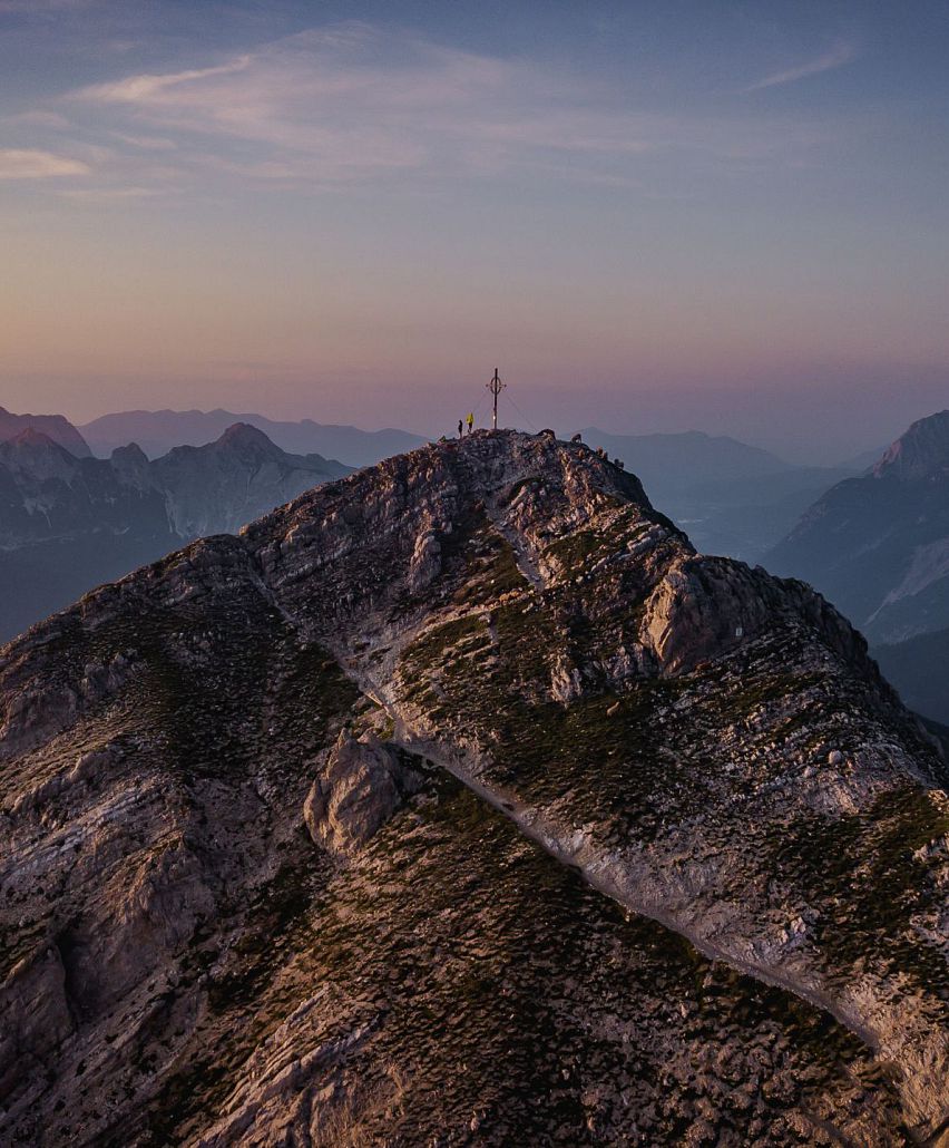
The Birkkarspitze is the "Queen of the Karwendel": it is the highest peak of the mountain range. Climbing its summit and enjoying the breathtaking views is a very special feeling. The mountain tour to the Birkkarspitze is far and demanding, it also requires very good surefootedness and a head for heights. The way to the Karwendel is long and can therefore be optimally combined as a "Bike and Hike" tour or with an overnight stay at the Kawendelhaus.
Difficulty: difficult
Duration: 8 hours
Route: 43 km / 1850 vertical meters
Highlight: highest peak of the Karwendel, easy climbing passages and breathtaking views and vistas.
Refreshment stops: Karwendelhaus
Description: Starting point of the tour to the Birkkarspitze is the parking lot "Länd" at the information office Scharnitz. From here you hike or drive on a flat path along the turquoise-colored Isar River towards the Karwendel valleys and follow the path into the Karwendel valley. Here you continue towards the Karwendelhaus, where you first have to overcome a steep climb before it becomes flatter and beautiful again. First you roll along the Karwendelbach on a picturesque stretch before you come to an idyllic alpine pasture. This wonderful place between meadow and stream invites you to take a rest before you continue on a steeper path on the forest road in several hairpin bends to the Karwendelhaus. Here, 18km of the trail have now been covered. Who likes and is well in time, can take a break at the Karwendelhause at a delicious stop and strengthen for the further ascent on foot.
After leaving the bikes at the Karwendelhaus, follow the narrow trail No. 225 behind the Karwendelhaus in the direction of the Birkkarspitze. The steep path is partly rope-secured and leads through avalanche barriers, then through a mountain pine forest and later through the Schlauchkar up the mountain. The ascent to the Schlauchkar saddle is steep and arduous; depending on the season, there may be snowfields here. Via the Notbiwak hut, continue on the trail until you reach a final climb. This is again partially secured with wire ropes and in the easy climbing passages you should definitely be sure-footed. The incomparably beautiful views from the highest peak of the mountain reward the hard efforts. On the same way you descend again, especially in the upper area great caution is required.
4. Hohe Munde (2,662 m): The Grande Dame of the mountains
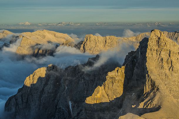
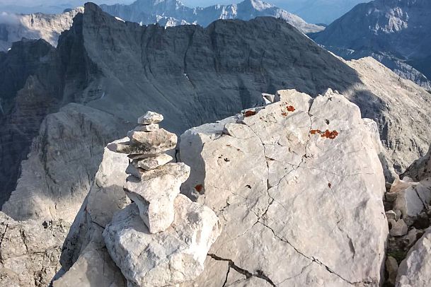
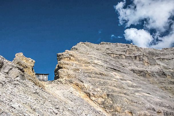
She is the grande dame among the mountains: The Hohe Munde (2,662 m). It towers above Leutasch and with its striking shape is perhaps the best known mountain in the region. The Munde has two summits (east summit and west summit), from which you have incomparably beautiful views. Admittedly, the ascent and especially the descent are tough and you need to be in good shape and sure-footed, but the view compensates for everything. You can either hike to the Hohe Munde via the Rauthhütte and descend the same way or - more demanding - cross it.
Difficulty: difficult
Duration: 7 hours
Distance: 12,6 km / 1570 meters altitude difference
Highlight: two peaks, great views into the Inn Valley and up to the Zugspitze.
Refreshment stops: Rauthhütte
Description: For the way to the Hohe Munde via the Rauthhütte you can either start from the parking lot "Buchener Höhe" between Buchen and Leutasch and climb from here via theSteig through the forest to the hut or park at the parking lot "Rauthhüte/ Mundestadl" and hike from here via the forest road. Behind the Rautthütte, the path to the right initially goes flatter over meadow areas. On the way, you should definitely make a detour to the Zugspitzblick and admire the highest peak in Germany for the first time from here. Continue through the mountain pine forests and later through alpine, stony terrain towards the summit. The steep path here requires surefootedness and some effort, which is then rewarded with great views at the east summit (2,595 m). From here the path leads easily over the ridge to the west summit (2,662 m). The way back is the same. At the Rautthütte you can look forward to a particularly delicious stop: the hut has already received several awards from Gault Millaut.
5. Reither Spitze (2,374 m): A high of happiness
The Reither Spitze high above Seefeld and Reith is an imposing peak. From hardly any other place you can look so beautifully into the Karwendel mountains and at the same time over Seefeld and the region, the Inn valley and over large parts of the Alps. The tour becomes perfect with a very delicious stop at the spectacularly located Nördlinger Hütte.
Difficulty: difficult
Duration: 3 hours
Distance: 6.9 km / 1,230 vertical metersHighlight: great view summit, stop for refreshments at the Nördlinger Hütte.
Refreshment stop: Nördlinger Hut
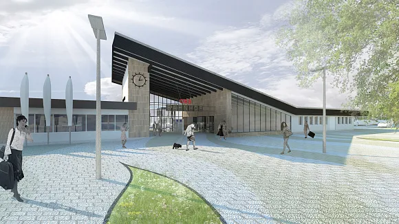
Description: The hike to the Reither Spitze is particularly beautiful as a traverse from the Seefelder Spitze ("Königstour"). You can also ascend from Reith bei Seefeld via very beautiful paths. The starting point here is the train station Reith bei Seefeld, where you follow the road northwards and hike on the Römerweg until you turn onto a climb (No. 211). Only a little later, the trail branches off to the right in the direction of the Schartlehnerhaus (unattended). In steep serpentines you hike to the Schartlehnerhaus at 1,856m and further through mountain pine fields to the Nördlinger Hütte. Here, too, the path is initially steep again, before it later goes in fewer serpentines to the hut. Behind the Nördlinger Hütte, the path leads steeply and partially secured with wire ropes to the summit of the Reither Spitze, where one likes to linger a little longer to enjoy the view. The descent is via the same path, whereby you should definitely stop at the Nördlinger Hütte.
Attention: Hiking trail no. 84 from the Reitherjoch Alm to the Nördlinger Hütte is expected to remain closed throughout the summer of 2020.
Share
