von Nicolas Lair
August 23, 2024
REACH NEW HEIGHTS FOR A HUT FEAST
A True Delight: Top 5 Mountain Hut Hikes for Advanced Hikers
What is a "Bergfex"? It’s someone who loves spending time in the mountains. What does a Bergfex need besides good hiking boots? That’s right, a cozy mountain hut to relax and recharge. In this blog, I’ve listed my top 5 hikes for advanced hikers, each with an amazing hut along the way.
1. Circular Hike: Wettersteinhütte-Wangalm-Hämmermoosalm
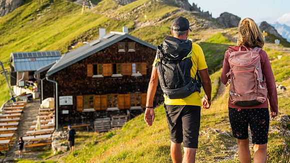
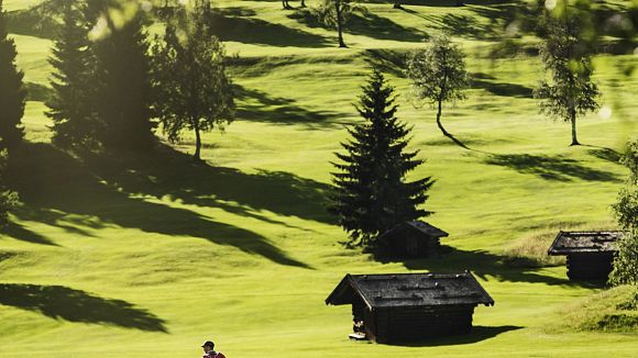
We start in an area where the density of rustic huts is almost unmatched anywhere else in the world: the alpine pasture paradise of Gaistal. The hiking possibilities here are endless, and so are the opportunities to stop for a meal. Why is that? Anyone who has been here can answer this question. The beauty, character, and views from the huts in Gaistal are truly unique. The following route includes three of these huts and connects them with a truly beautiful hiking trail. Starting from the "Stupfer" parking lot, the path initially climbs steeply, gaining 400 meters in altitude—because a hut break should be well-earned! At the "Waldsteig" junction, you turn towards Wettersteinhütte and Wangalm. Since these two huts are quite close to each other, hikers have a tough choice to make! Both are popular destinations, offering excellent Tyrolean cuisine and breathtaking views. Once you've decided and refueled, head back to the Waldsteig junction. Here, Trail No. 9 leads you leisurely to the third hut in the trio.
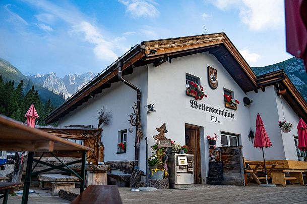
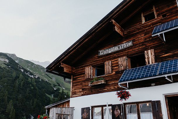
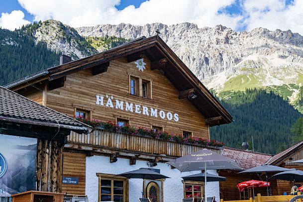
The varied trail through the forest opens up panoramic sections with views of the surrounding mountain peaks and the Hohe Munde, before descending back toward the Hämmermoosalm. After the narrow hiking path reconnects with the gravel road, you'll soon spot the popular hut. Whether summer or winter, you're in great company at the Hämmermoosalm, where you'll find delicious food and a super cozy terrace. How you divide up your snack breaks on this approximately 4-hour hike is entirely up to you.
Difficulty: Moderate
Duration: Approx. 04:15 hours for the entire loop (without breaks)
Distance: 10.2 km / 562 meters of elevation gain
Highlights: All three huts, scenic views throughout the hike
Hut Stops: Wettersteinhütte, Wangalm, Hämmermoosalm
For route details: Circular Hike: Wettersteinhütte-Wangalm-Hämmermoosalm
2. Circular Hike Over the Zäunlkopf to the Oberbrunnalm
The second mountain hut hike for advanced hikers takes us right through the Karwendel Nature Park. Specifically, it starts at the gateway to the Karwendel, summits two peaks along the way, and includes a break at the Oberbrunnalm. With 794 meters of elevation gain, you'll need to "climb" a bit higher than on our first tour, but the reward is just as sweet. The starting and ending point is the Nature Park Information Center in Scharnitz. From there, the route leads past the Mühlberg parking lot towards the Bärenklamm. Here, you'll encounter narrow, sometimes steep trails that demand the surefootedness of a bear! The trail winds through the pleasantly cool high forest until it reaches a forest road. Along this road, you'll pass the former mountain station of the Mühlberg lift, where today a beautiful heart-shaped viewing platform stands. Shortly after, you can celebrate a double summit victory on the Mittagskopf (where it can get quite warm at noon) and Zäunlkopf.
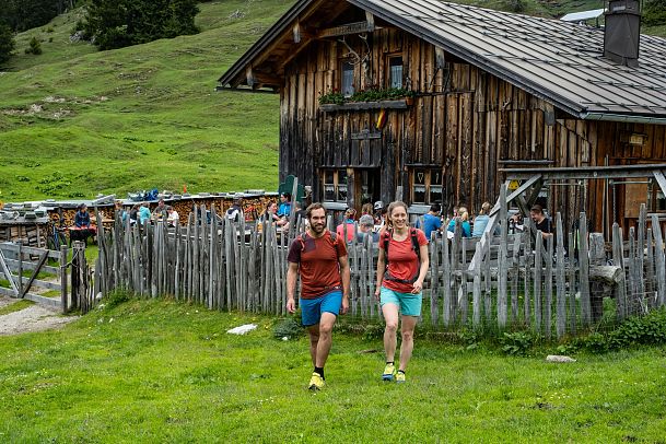
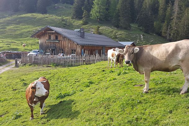
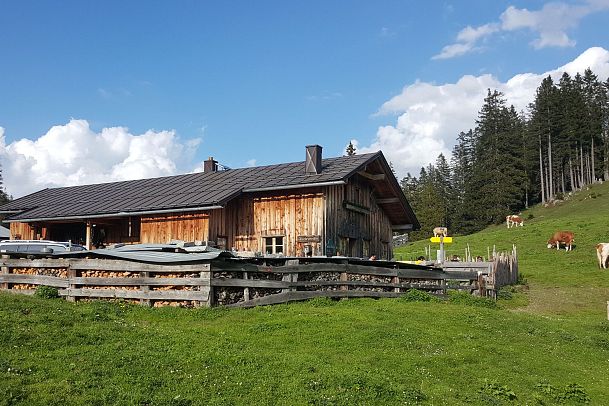
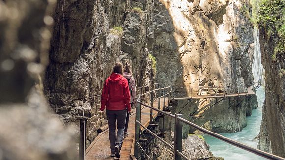
After an optional detour to the "beautiful view" (about 10 minutes), which offers a stunning view into the Karwendel valleys, your reward is just around the corner. At the Oberbrunnalm, Michael and his team await you with regional specialties. Satisfied and happy, the relaxed return journey takes you through the Gießenbach Valley back towards Scharnitz. If you prefer a more adventurous route down, you can descend via the Isertal and the beautiful Gleirschklamm.
Difficulty: Moderate
Duration: Approx. 06:00 hours
Distance: 15.2 km / 794 meters of elevation gain
Highlights: Heart-shaped viewing platform, Mittagskopf, Zäunlkopf, "Schöne Aussicht," Oberbrunnalm
Hut Stop: Oberbrunnalm
For route details: Circular Hike Over the Zäunlkopf to the Oberbrunnalm
3. Circular Hike to the Rauthhütte with Zugspitze View
Ranked third on our list, this is probably the easiest tour on the list. The circular hike to the Rauthhütte has just over 400 meters of elevation gain, yet still rewards you with breathtaking views! It’s no wonder it’s one of the most popular routes among locals. The starting point is the "Munde" parking lot, from where the trail initially leads through dense forests and over picturesque alpine meadows. The path through the Katzenloch requires a bit more stamina before Trail No. 99 takes you directly to the Rauthhütte. The effort is rewarded with stunning views of the Wetterstein mountains and the surrounding valleys. At just over 1,600 meters above sea level, you'll reach the Rauthhütte, where stopping for a break is a must! Why? Since 2018, this rustic hut has been recognized annually by the gourmet guide "Gault&Milleau" as one of the best restaurants in the country. The hut delights its guests with traditional Tyrolean cuisine and often offers unique specialties, especially on weekends. The best way to enjoy these is from the cozy terrace.
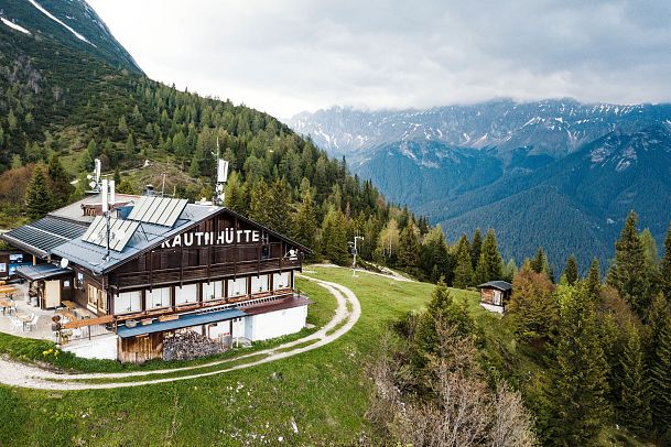
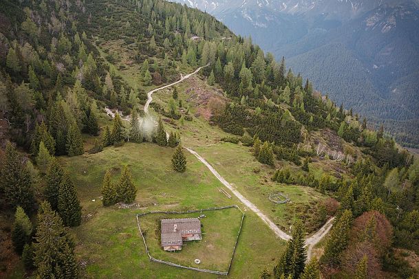
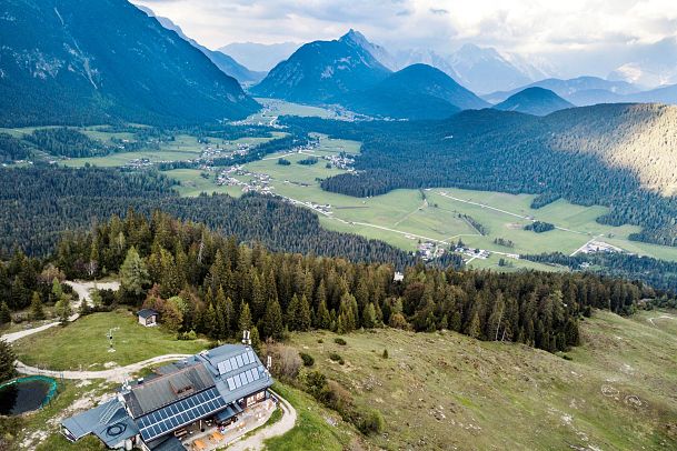
After a refreshing break, it's worth taking a short detour to the "Zugspitzblick" viewpoint, which can be reached in just a few minutes. This spot offers a beautiful view of Germany's highest mountain and is perfect for capturing memorable photos. The relaxed forest path (Trail No. 8) then leads you back to the starting point.
Difficulty: Moderate
Duration: Approx. 03:00 hours
Distance: 6.2 km / 439 meters of elevation gain
Highlights: Rauthhütte, Zugspitzblick viewpoint
Hut Stop: Rauthhütte
For route details: Circular Hike to the Rauthhütte with Zugspitze View
4. Hike to the Pleisenhütte
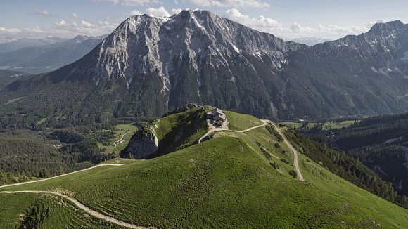
The fourth "stage" of our hut tour takes us to the Pleisenhütte, another local favorite and an absolute must for view enthusiasts. From the Nature Park Information Center, you'll stroll along the Hinterautalstraße for about 2 km—plenty of time to build anticipation for the hike ahead. Then, take a left turn and begin your ascent. The trail winds gently upward in switchbacks until you reach Lablehner, a stunning meadow with views of Brunnstein and the Karwendel Valley. Here, you can take a deep breath and fully soak in the alpine atmosphere. Afterward, the trail continues in more switchbacks, climbing steadily higher. The ascent requires a bit of perseverance, but the reward is well worth it. After nearly 800 meters of elevation gain, the Pleisenhütte greets you with its sunny south-facing terrace. Here, you can kick off your hiking boots, put your feet up, and enjoy the panoramic views while indulging in a well-deserved snack. Pop a cork (or at least crack open a soda) and relish this unique experience.
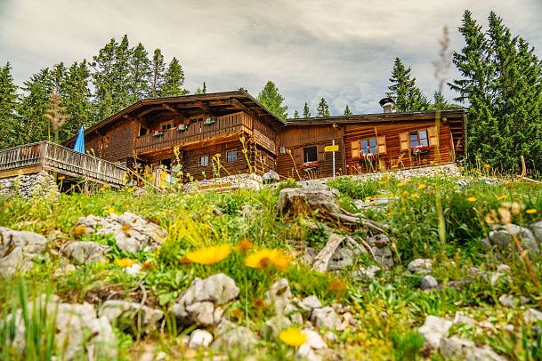
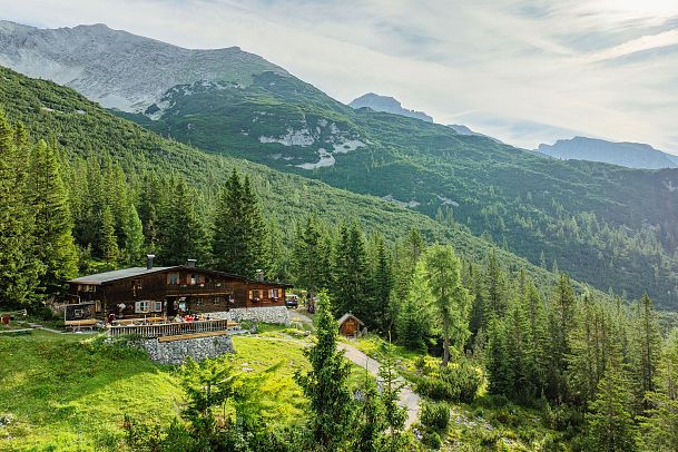
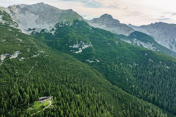
For the descent, simply retrace your steps. This gives you another chance to fully enjoy the diverse landscape and fresh mountain air. This hike is perfect for those seeking a bit of adventure and a deep connection with nature — and, of course, for those who love to enjoy a "Brettljause" in the sun.
Difficulty: Moderate
Duration: Approx. 05:00 hours
Distance: 15.9 km / 780 meters of elevation gain
Highlights: Lablehner, Pleisenhütte, stunning views!
Hut Stop: Pleisenhütte
For route details: Hike to the Pleisenhütte
5. Royal Tour – Circular hike to the Nördlinger Hütte
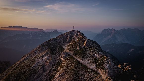
The grand finale of this list is the majestic "Royal Tour", a challenging hike that truly lives up to its name. This demanding trek begins with a funicular ride on the Rosshütte cable cars up to Seefelder Joch at 2,064 meters. Here, the real adventure begins. From the mountain station, you'll cover nearly five kilometers, but be warned—this stretch is not for the faint-hearted! You'll summit the peaks of Seefelder Spitze (2,220 m) and Reither Spitze (2,373 m), which require solid footing and careful navigation. After about three hours of hiking, you'll reach the beautiful Nördlinger Hütte at 2,230 meters, where a well-deserved break awaits. The return journey takes about an hour to the mountain station of the Härmelekopf cable car, from where you can comfortably ride back down to the valley. For those who prefer to hike down, there is a roughly two-hour trail with a delightful stop at the Reitherjoch-Alm (1,500 m).
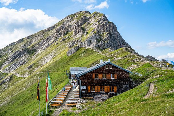
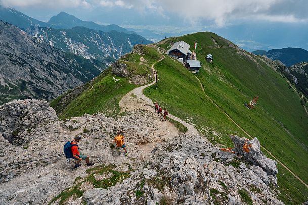
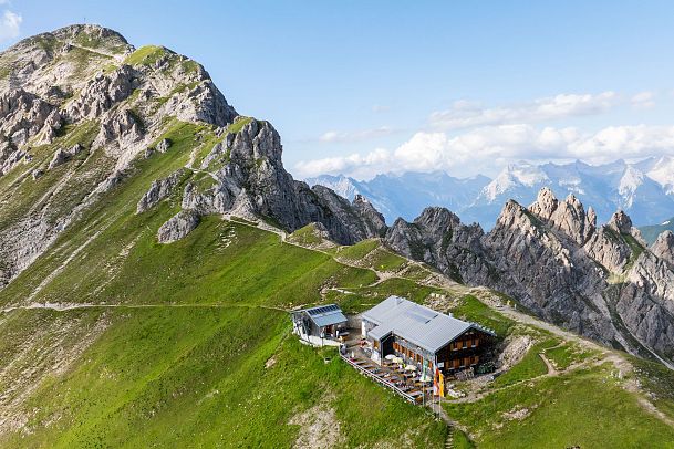
For those seeking even more thrill, the new Panorama Via Ferrata to Seefelder Spitze is a perfect option. You can start this challenging climb on your way up from the middle station. This added challenge rewards you with breathtaking views and an exhilarating climbing experience. Important: This tour is not for the faint-hearted! Good mountain boots, alpine experience, and surefootedness on rugged terrain are absolutely necessary. The route is difficult, partly exposed, and includes sections with ladders. Ready for the royal adventure? Then head out on the Royal Tour in the Karwendel—a journey you won't soon forget!
Difficulty: Hard
Duration: Approx. 04:00 hours
Distance: 4.4 km / 502 meters of elevation gain
Highlights: Seefelder Spitze, Reither Spitze, Nördlinger Hütte
Hut Stop: Nördlinger Hütte
For route details: Royal Tour – The Majestic Hike
Share
